
Spatial Informatics Group (SIG)
@sig_gis
Spatial Informatics Group (SIG) is an Environmental Think-Tank working on Natural Hazards, Forest Carbon, Ecosystem Services, and Environmental Mapping
ID:85196590
http://sig-gis.com 26-10-2009 00:06:15
1,1K Tweets
1,1K Followers
749 Following

🔍This Mongabay article highlights the harmful impacts of environmental crimes. RAMI earns recognition for its rapid detection of illegal mining operations in the Peruvian Amazon. 🌍 news.mongabay.com/2024/04/new-te… #EnvironmentalProtection #Technology #Innovation

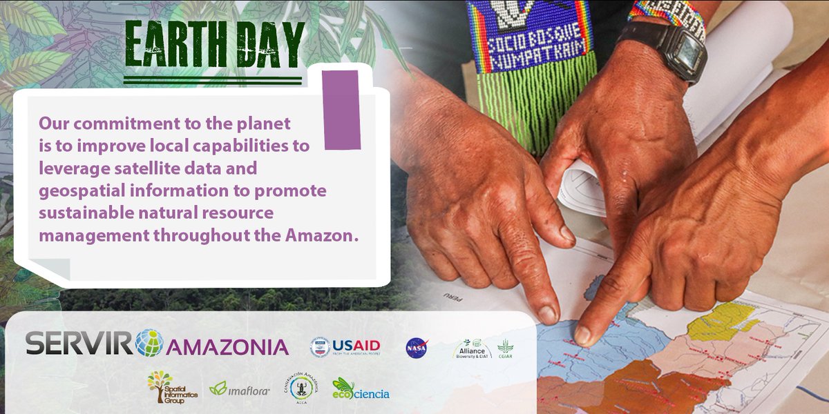
🌍Happy #EarthDay ! Today, we reaffirm our commitment to environmental conservation. SIG's dedicated to leveraging #science and #technology to address environmental challenges and preserve our Earth for future generations.🌎 #EarthDay 2024 #Conservation #Sustainability #Innovation 💚


#EarthDay2023
A key part of our work is working with regional partners to better understand the needs of the region, and thus develop tools, products and services that allow countries that shape the Amazon basin to improve decision-making.
#DiaDeLaTierra

🌲SIG embarked on a 2-year project at Save the Redwoods League’ Cascade Creek, evaluating hundreds of acres and old-growth #redwoods post-CZU Lightning Complex fire! Check out our latest video to learn more: youtu.be/0NSEaeHLDpY 🔍 #Conservation #Wildfire #Sustainability

💡Spotlight on Jarrett Barbuto! Jarrett's a Geospatial Analyst and FAA Certified #UAS Pilot. Outside of work, he's a thrill-seeker who loves snowboarding and mountain biking. Check out the latest SIG Spotlight: sig-gis.com/spotlight-on-j… #EmployeeSpotlight #GeospatialAnalysis 🚀


Ministry of Environment (MECCNAR), with support from Environment Canada, kicks off a transformative five-day training on data collection & interpretation key development for technical working groups of MRV for Climate Action pilot projects on Solar PV and Forest Degradation at Climate Action Centre, University of The Gambia.


Working with METI and the USDA Forest Service, we’re enhancing #forestmonitoring in the #Philippines ! Through #capacitybuilding efforts, we're optimizing remote sensing data utilization and leading technical trainings to teach the skills needed for analysis and reporting. 🌍


🌲We partnered with Sequoia Nat'l Forest (SNF) for expert reports on wildfire, fuel, & #forestmanagement . Our #GIS portal for SNF provides insights into fire severity, treatments, & communities. Our reports on #wildfire , fuels, #silviculture , & more aim to better our environment.🌿

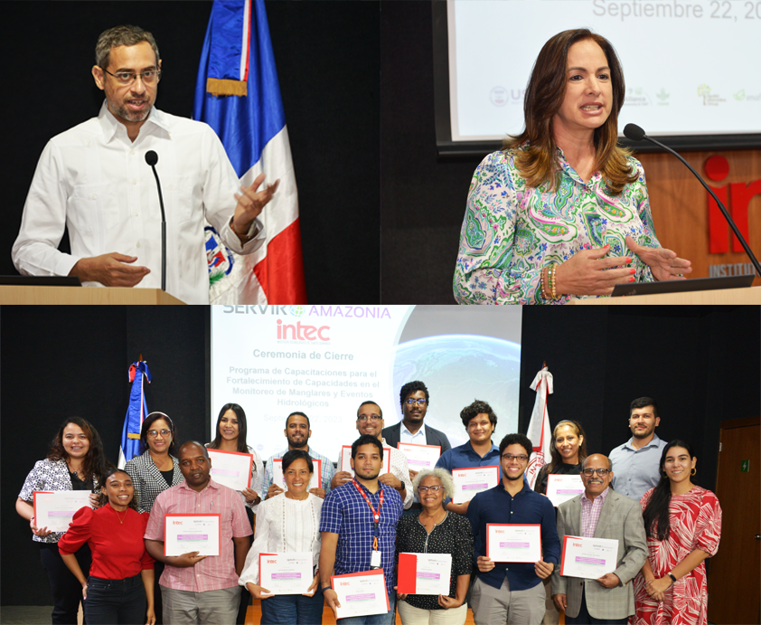
🛰 Celebrating geospatial training success in the #DominicanRepublic 🇩🇴 The successful completion of the training in #geospatial tools for #mangrove #mapping and #hydrological event occurrence took place last week; a remarkable achievement of the #SERVIRAmazonia Program...1/3

🔥Dr. Kayla Johnston will be attending IAWF's #FBF2024 in Boise next week to present treatment selection for maximizing Reduced Emissions from Megafires, following Climate Forward's REM forecast methodology for various forest types across CA. #ClimateChange #CaliforniaForests 🌲

🌍SIG's Crystal Wespestad and Elijah Dalton will be traveling to The #Gambia next week to present #CollectEarthOnline . Their presentation will highlight how CEO is revolutionizing data collection efforts and driving impactful work in #EnvironmentalMonitoring #CapacityBuilding 🛰️

Want to start using Planscape, but not sure where to start? Understanding the #ecosystems of very large #wilderness landscapes is challenging. Check out our user guide for expert insights on how to get started: planscape.org/documentation/… #EcosystemManagement #LandscapeManagement 🌳

🎓👏Congratulations Kayla Johnston, one of our Geospatial Data Scientists, on completing her #PhD in Rangeland Management & Fire Ecology from University of Idaho! 🎉She presented multiple research papers on topics like #wildfire ecology and fuel breaks. Great work, Kayla! #GeospatialScience
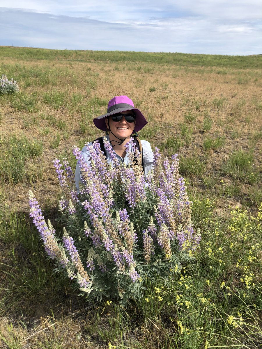

🌟SIG welcomes Daniel dela Torre to our team as a SERVIR-SEA Science and Data Lead! Daniel specializes in remote sensing for environmental monitoring, with expertise in #machinelearning and time series analysis. Welcome to the team, Daniel!🚀 #NewHire #GIS #RemoteSensing


🌲 Celebrating #IntlForestDay with ADPC's Nguyen Hanh Quyen showcasing OpenForis tool #CollectEarthOnline for forest data collection and landscape analysis. Learn more about #OpenForis tools here: fao.org/interactive/op… 👏 #Reforestation SERVIR Global 🌳


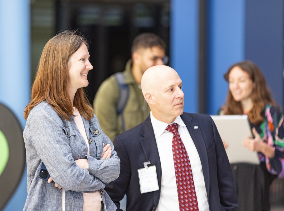
✨ SIG and SERVIR SEA attended the Forest Data Partnership's annual meeting at Food and Agriculture Organization headquarters in Rome, we exchanged ideas with the full FDaP team and shared progress on data and tool development needed to combat commodity-driven #deforestation .🌲👏 #Reforestation SERVIR Global

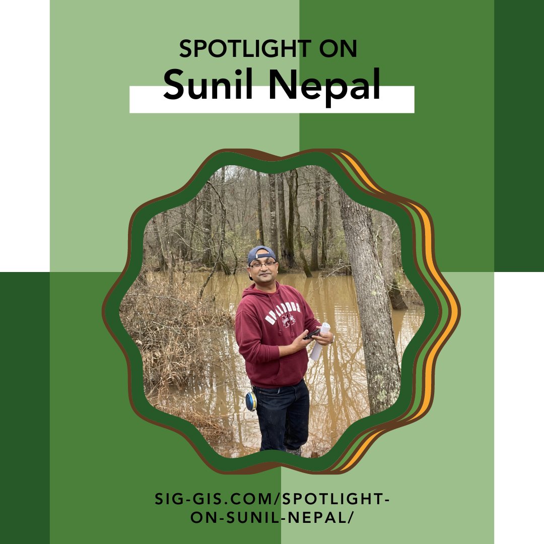
Spotlight on Sunil Nepal!🌟A Senior Forest Carbon Analyst at SIG, Sunil brings a wealth of experience and expertise. Read more about Sunil's dedication and love of the environment, both on and off the clock, here: sig-gis.com/spotlight-on-s… 🌍🌲 #Conservation #EmployeeSpotlight

🎙️Check out Food and Agriculture Organization's #podcast ! They've unveiled Ground, an open-source data collection mobile app that can be used to monitor and safeguard forests, developed in collaboration with SIG and Google as part of the Forest Data Partnership. soundcloud.com/unfao/fao-brie… #Reforestation 🌍🌳
