UNESCO 🏛️ #Education #Sciences #Culture 🇺🇳(@UNESCO) 's Twitter Profile Photo

Satellite imagery, remote sensing, geoinformation…

Technologies play an important role to during conflicts.

Listen to UNOSAT’s expert as we mark 70 years of The Hague Convention.

👉 unes.co/0oo2z4

account_circle
Voices of WW2(@VoicesofWW2) 's Twitter Profile Photo

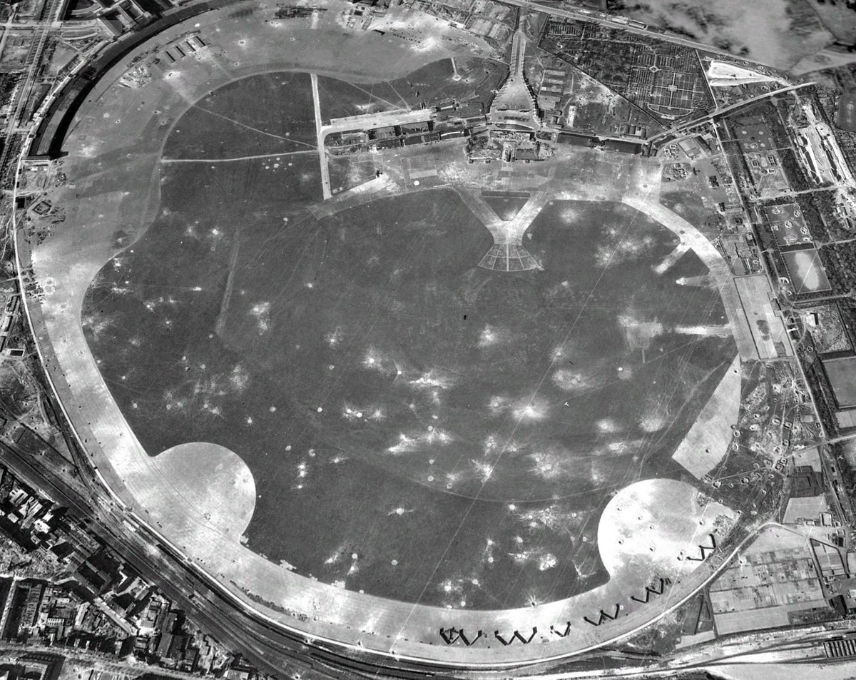
Berlin March 1945
Tempelhof airport from US reconnaissance photo.
[NARA archives - ©2021 The GeoInformation Group

I'm losing my diopters trying to figure out which German planes were still present😅

Berlin March 1945
Tempelhof airport  from US reconnaissance photo.
[NARA archives - ©2021 The GeoInformation Group

I'm losing my diopters trying to figure out which German planes were still present😅
account_circle
3iSolution(@3iSolution3iS) 's Twitter Profile Photo

We are thrilled to announce our participation in in Washington, D.C., on May 16, 2024! 🎉 This prestigious event brings together leaders and experts in satellite technologies and geoinformation to tackle the world's most pressing challenges.
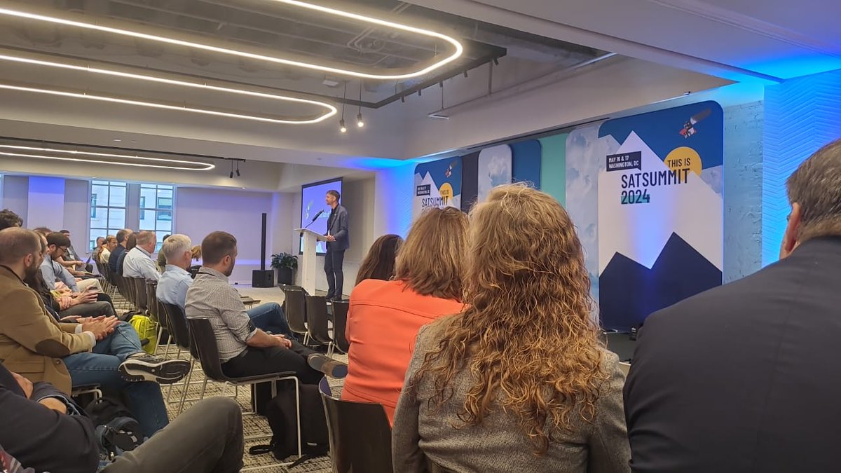
We are thrilled to announce our participation in #SATSUMMIT2024 in Washington, D.C., on May 16, 2024! 🎉 This prestigious event brings together leaders and experts in satellite technologies and geoinformation to tackle the world's most pressing challenges.
account_circle
ENIGMA EUProject(@EnigmaEuproject) 's Twitter Profile Photo

Save the date!
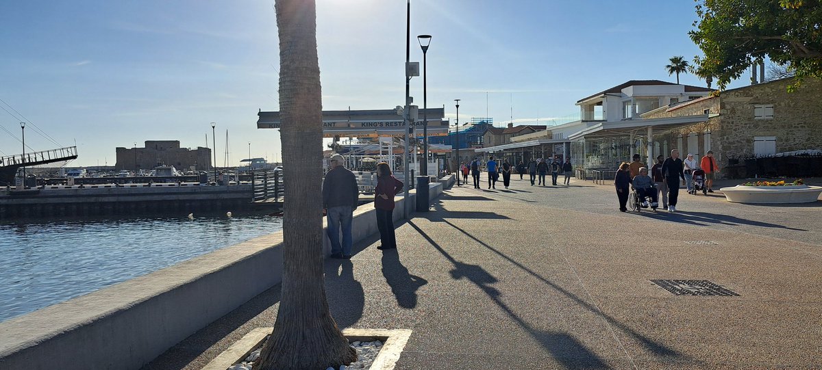
The 8th and 9th of April the 'Tenth International Conference on Remote Sensing and Geoinformation of Environment' will take place in Paphos, Cyprus.

It is organised by ERATOSTHENES Centre of Excellence partner of Enigma project

More info here: rscy2024.cyprusremotesensing.com

Save the date! 
The 8th and 9th of April the 'Tenth International Conference on Remote Sensing and Geoinformation of Environment' will take place in Paphos, Cyprus.

It is organised by @ERATOSTHENESCoE partner of Enigma project

More info here: rscy2024.cyprusremotesensing.com
account_circle
BBK(@BBK_Bund) 's Twitter Profile Photo

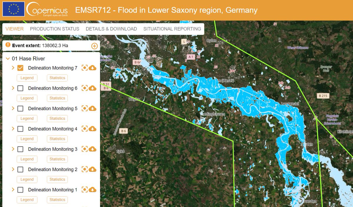
1/3 Zum internationalen Tag der Vermessung und Geoinformation möchten wir Ihnen heute die im BBK angesiedelte Nationale Fachkoordinationsstelle für den Copernicus-Dienst Katastrophen- und Krisenmanagement, kurz CEMS, vorstellen.

1/3 Zum internationalen Tag der Vermessung und Geoinformation möchten wir Ihnen heute die im BBK angesiedelte Nationale Fachkoordinationsstelle für den Copernicus-Dienst Katastrophen- und Krisenmanagement, kurz CEMS, vorstellen.
account_circle
Lukas Winiwarter(@geogemgis) 's Twitter Profile Photo

I'm very happy to announce that I've been appointed professor of Geodesy (focus: Geoinformation and AI-applications) at Universität Innsbruck @[email protected] starting today. Looking forward to many new and exciting things to come!

I'm very happy to announce that I've been appointed professor of Geodesy (focus: Geoinformation and AI-applications) at @uniinnsbruck starting today. Looking forward to many new and exciting things to come!

account_circle
Journée romande de la géoinformation(@georomandie) 's Twitter Profile Photo

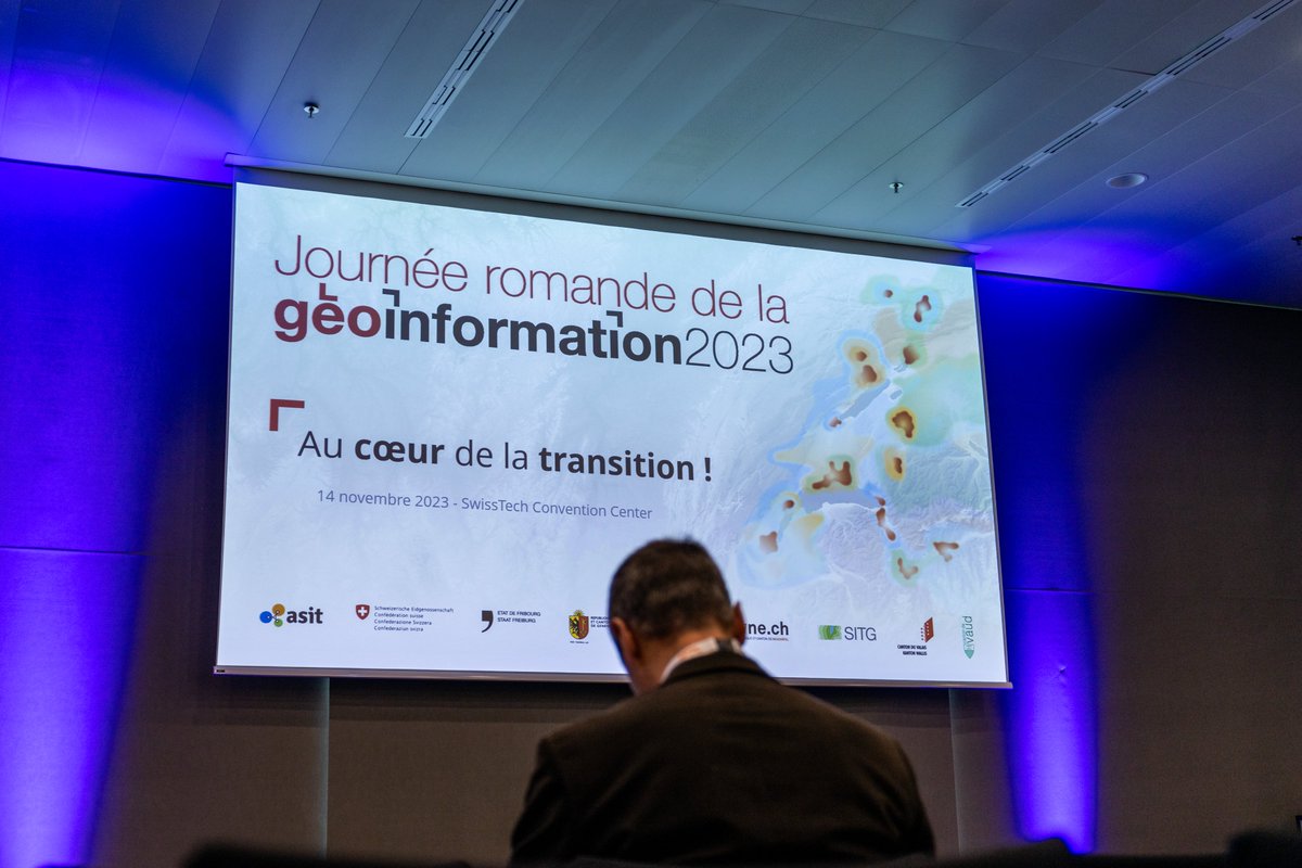
🚀 Succès de la 3e édition de la Journée romande de la géoinformation !

Près de 660 personnes, 42 exposants et 30 orateurs réunis autour du thème 'Au cœur de la transition'.

👉Retrouvez sur georomandie.com les présentations (PDF), vidéos et photos.

🚀 Succès de la 3e édition de la Journée romande de la géoinformation !

Près de 660 personnes, 42 exposants et 30 orateurs réunis autour du thème 'Au cœur de la transition'.

👉Retrouvez sur georomandie.com les présentations (PDF), vidéos et photos.
account_circle
Telespazio(@telespazio) 's Twitter Profile Photo

📽️ e le istituzioni locali hanno presentato ieri il progetto U-ELCOME DSD Project. Paolo Minciacchi, SVP Geoinformation di e CEO di e-GEOS,
e Giovanna Scardapane, PM del progetto, hanno spiegato al Tgr Rai Abruzzo i benefici del progetto per i cittadini abruzzesi.👇
account_circle
LBV.SH(@lbv_sh) 's Twitter Profile Photo

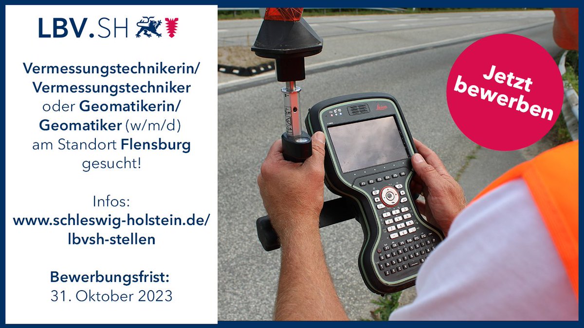
Für den Fachbereich 'Vermessung und Geoinformation' sucht der LBV.SH am Standort Flensburg eine/einen Vermessungstechnikerin/Vermessungstechniker (w/m/d) oder eine/einen Geomatikerin/Geomatiker (w/m/d)
Infos: schleswig-holstein.de/lbvsh-stellen

Für den Fachbereich 'Vermessung und Geoinformation' sucht der LBV.SH am Standort Flensburg eine/einen Vermessungstechnikerin/Vermessungstechniker (w/m/d) oder eine/einen Geomatikerin/Geomatiker (w/m/d)
Infos: schleswig-holstein.de/lbvsh-stellen
#lbvsh #derechtenorden #landsh
account_circle
LBV.SH(@lbv_sh) 's Twitter Profile Photo

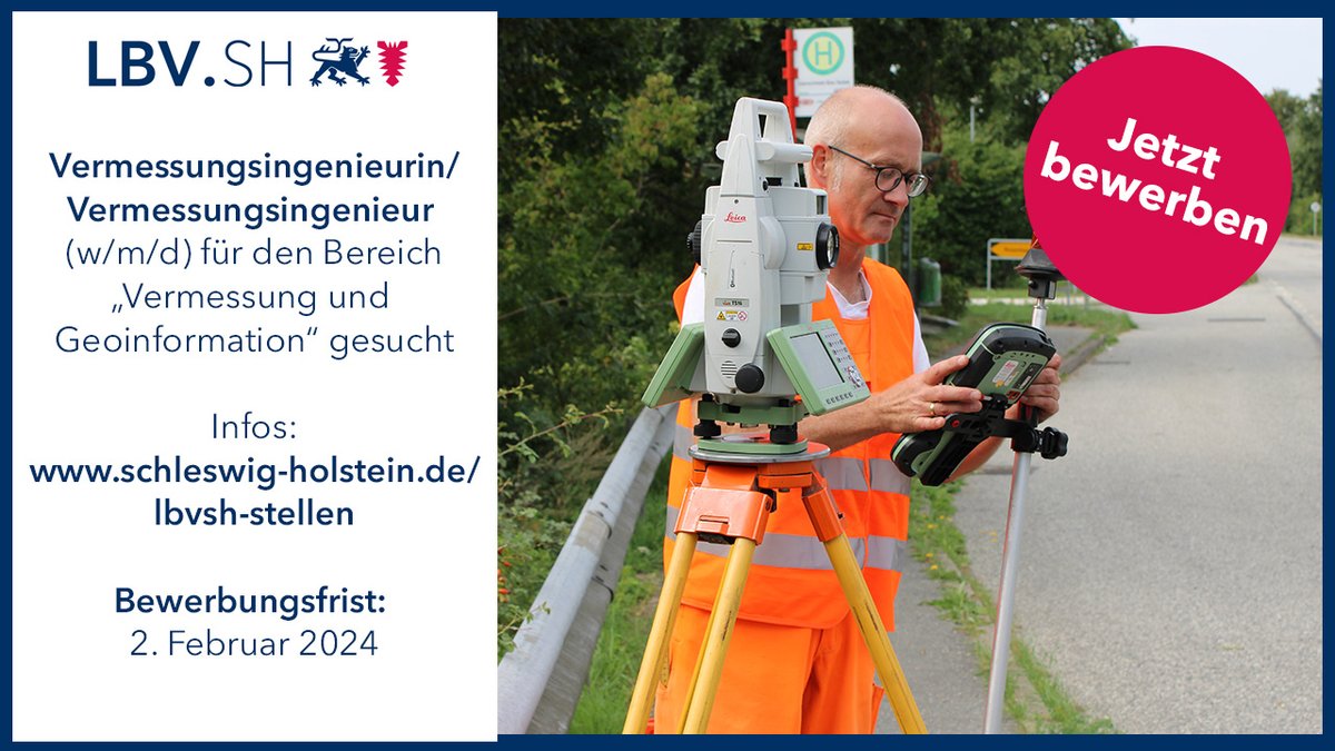
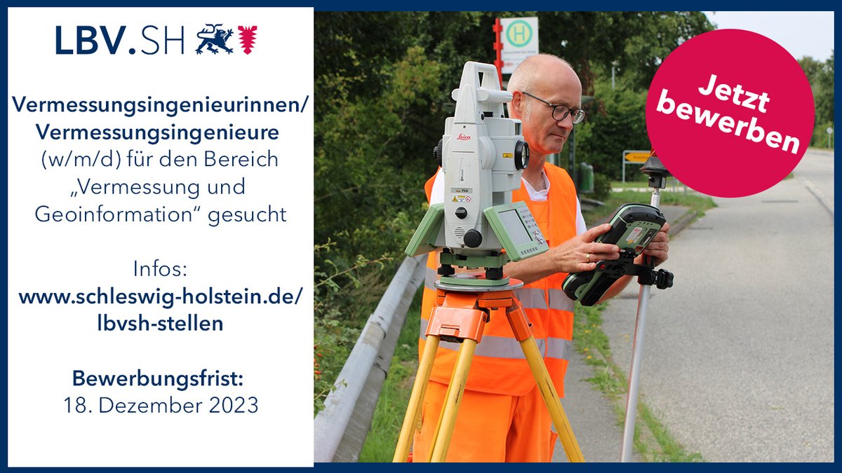
Der LBV.SH sucht am Standort Lübeck eine/einen Vermessungsingenieurin/Vermessungsingenieur im Bereich 'Vermessung und Geoinformation' (w/m/d)!

Infos: schleswig-holstein.de/lbvsh-stellen.…

Der LBV.SH sucht am Standort Lübeck eine/einen Vermessungsingenieurin/Vermessungsingenieur im Bereich 'Vermessung und Geoinformation' (w/m/d)!

Infos: schleswig-holstein.de/lbvsh-stellen.…

#lbvsh #derechtenorden #landsh
account_circle
LBV.SH(@lbv_sh) 's Twitter Profile Photo

Der LBV.SH sucht an den Standorten Rendsburg oder Kiel und Lübeck eine/einen Vermessungsingenieurin/Vermessungsingenieur (w/m/d) für das Dezernat 'Vermessung und Geoinformation'!

Infos: schleswig-holstein.de/lbvsh-stellen.…

Der LBV.SH sucht an den Standorten Rendsburg oder Kiel und Lübeck eine/einen Vermessungsingenieurin/Vermessungsingenieur (w/m/d) für das Dezernat 'Vermessung und Geoinformation'!

Infos: schleswig-holstein.de/lbvsh-stellen.…

#lbvsh #derechtenorden #landsh
account_circle
EOTEC DevNet(@EOTECDevNet) 's Twitter Profile Photo

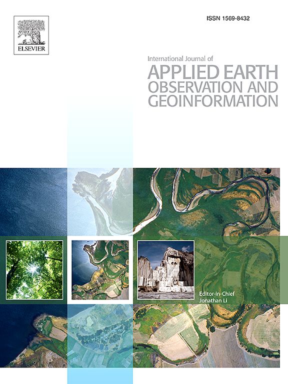
Call for Papers 📢: Addressing African EO Challenges in Water Scarcity & Food Security. Contribute your insights to the Intl Journal of Applied Earth Observation & Geoinformation.

Deadline for submissions: April 30, 2024

Call for Papers 📢: Addressing African EO Challenges in Water Scarcity & Food Security. Contribute your insights to the Intl Journal of Applied Earth Observation & Geoinformation. 

Deadline for submissions: April 30, 2024

#Africa #WaterScarcity #BigData #EO
account_circle
Dr. A. Müterthies(@A_Mueterthies) 's Twitter Profile Photo

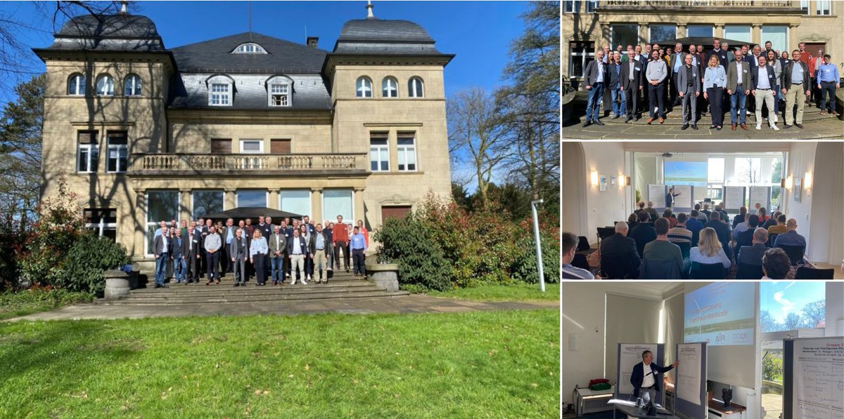
AIR e.V., DDGI, Copernicus Netzwerk Kommunal und Zenit sagen Herzlichen Dank an alle Teilnehmer:innen des Expert:innenworkshops Geoinformation zur Beschleunigung der Energiewende!

AIR e.V., DDGI, Copernicus Netzwerk Kommunal und Zenit sagen Herzlichen Dank an alle Teilnehmer:innen des Expert:innenworkshops Geoinformation zur Beschleunigung der Energiewende!
account_circle
Geoportal BS(@GeoPortalBS) 's Twitter Profile Photo

Die Geoinformation Basel-Stadt freut sich auf die 'drei scheenschte Dääg' und wünscht allen eine schöne Fasnacht!

Die Geoinformation Basel-Stadt freut sich auf die 'drei scheenschte Dääg' und wünscht allen eine schöne Fasnacht!
account_circle
UGM(@UGMYogyakarta) 's Twitter Profile Photo

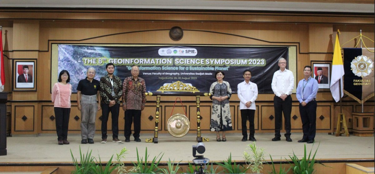
Ratusan Pakar Dunia Kumpul di Bahas Perkembangan Geoinformasi: Tidak kurang dari 150 pakar geoinformasi dari seluruh dunia hadir dalam the 8th Geoinformation Science Symposium 2023 di Fakultas Geografi . Dalam kegiatan yang berlangsung selama… ugm.ac.id/id/berita/ratu…

Ratusan Pakar Dunia Kumpul di #UGM Bahas Perkembangan Geoinformasi: Tidak kurang dari 150 pakar geoinformasi dari seluruh dunia hadir dalam the 8th Geoinformation Science Symposium 2023 di Fakultas Geografi #UGM. Dalam kegiatan yang berlangsung selama… ugm.ac.id/id/berita/ratu…
account_circle
DiofantosHadjimitsis(@diofantosh) 's Twitter Profile Photo

💻Submit your abstract now! Deadline: 10th of March 2024!
👏RSCy2024
🇨🇾🇨🇾ʽTenth International Conference on Remote Sensing and Geoinformation of Environmentʼ 08-09 April, 2024 - Cyprus
👏👏 Full accepted papers will be published by SPIE SPIE

💻Submit your abstract now! Deadline: 10th of March 2024!
👏RSCy2024
🇨🇾🇨🇾ʽTenth International Conference on Remote Sensing and Geoinformation of Environmentʼ 08-09 April, 2024 - Cyprus
👏👏 Full accepted papers will be published by SPIE  @SPIEtweets
account_circle
Klaus Euteneuer(@KlausEuteneuer) 's Twitter Profile Photo

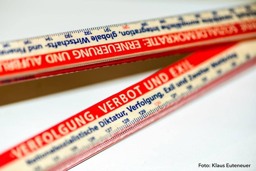
Heute ist der „Europäische Tag der Vermessung und Geoinformation“.

Vermisst die sozialdemokratische Politik und deren Geschichte: Dieser 2-Meter-Zollstock der Friedrich-Ebert-Stiftung.

(Der Tag wurde 2012 vom Europäischen Rat für Vermessungswesen ins Leben gerufen.)

Heute ist der „Europäische Tag der Vermessung und Geoinformation“.

Vermisst die sozialdemokratische Politik und deren Geschichte: Dieser 2-Meter-Zollstock der Friedrich-Ebert-Stiftung.

(Der Tag wurde 2012 vom Europäischen Rat für Vermessungswesen ins Leben gerufen.)
account_circle