OpenTopography(@OpenTopography) 's Twitter Profileg
OpenTopography

@OpenTopography

Open access to high-resolution, Earth science-oriented topography data, and related tools & resources. US NSF supported. #lidar

ID:39327448

linkhttp://www.opentopography.org calendar_today11-05-2009 19:59:51

2,8K Tweets

10,8K Followers

641 Following

Follow People
OpenTopography(@OpenTopography) 's Twitter Profile Photo

Another round of point cloud data for the north island of New Zealand 🇳🇿 added to OpenTopography. ~5000 sq km of new LINZ Data Service data over Hamilton, Waikato & Gisborne: opentopography.org/news/gisborne-…

Another round of #lidar point cloud data for the north island of New Zealand 🇳🇿 added to OpenTopography. ~5000 sq km of new @LINZLDS data over Hamilton, Waikato & Gisborne: opentopography.org/news/gisborne-…
account_circle
NHERI RAPID - Natural Hazards Reconnaissance(@NHERI_RAPID) 's Twitter Profile Photo

The RAPID Facility and the NHERI Program were featured in a recent article by xyHt, an independent publication for geospatial professionals and businesses. Explore the power of lidar technology for precise data collection - shorturl.at/adFGU

account_circle
OpenTopography(@OpenTopography) 's Twitter Profile Photo

New highlight showcasing a few recent (Jan-April 2024) publications that utilize data from OpenTopography:
- Using to assess building damage after earthquakes
- Habitat for the common chameleon
- Calculating the migration of watershed boundaries
opentopography.org/blog/highlight…

New highlight showcasing a few recent (Jan-April 2024) publications that utilize data from OpenTopography: - Using #lidar to assess building damage after earthquakes - Habitat for the common chameleon - Calculating the migration of watershed boundaries opentopography.org/blog/highlight…
account_circle
EarthScope Consortium(@EarthScope_sci) 's Twitter Profile Photo

Registration is now open for a number of our 2024 Short Courses! Learn more about these courses & register here: loom.ly/i0N7dJM

Open courses include ⬇️

Registration is now open for a number of our 2024 Short Courses! Learn more about these courses & register here: loom.ly/i0N7dJM Open courses include ⬇️
account_circle
LINZ Data Service(@LINZLDS) 's Twitter Profile Photo

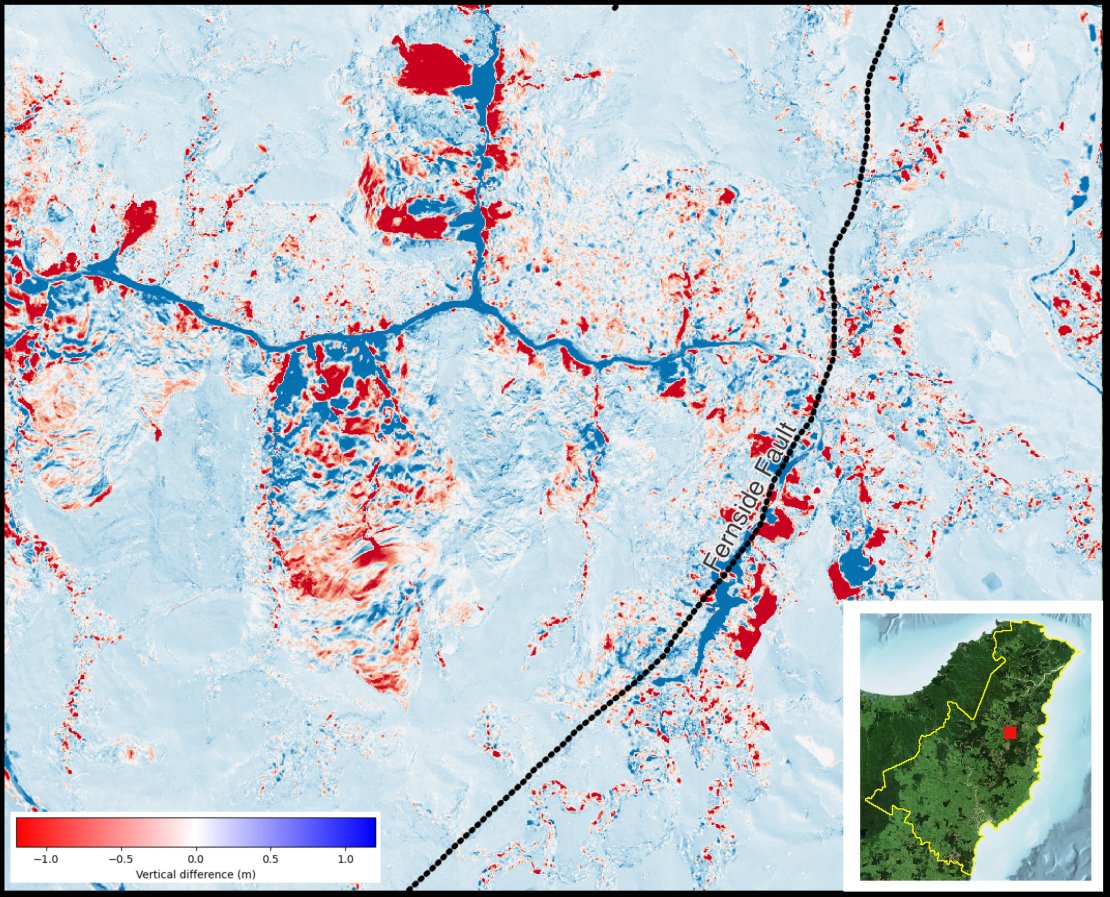
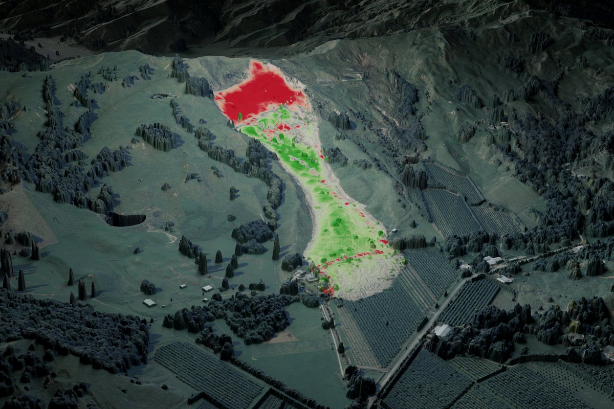
We have recently published covering a section of the Gisborne region data.linz.govt.nz/layer/115847. Check out the landslide on the Manutūkē Hills following Cyclone Gabrielle, using a differencing raster between the 2023 & 2019 DSM. PC OpenTopography doi.org/10.5069/G9MK6B…

We have recently published #LiDAR covering a section of the Gisborne region data.linz.govt.nz/layer/115847. Check out the landslide on the Manutūkē Hills following Cyclone Gabrielle, using a differencing raster between the 2023 & 2019 DSM. PC @OpenTopography doi.org/10.5069/G9MK6B…
account_circle
EarthScope Consortium(@EarthScope_sci) 's Twitter Profile Photo

With 3D printing technologies, we can directly hold landscapes and landforms in our hands. Follow along with OpenTopography's guide and learn how to prepare a digital elevation model (DEM) for 3D printing, plus find pre-made files for 3D printing.

➡️ opentopography.org/learn/3D_print…
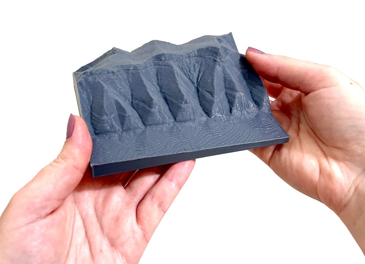
With 3D printing technologies, we can directly hold landscapes and landforms in our hands. Follow along with @OpenTopography's guide and learn how to prepare a digital elevation model (DEM) for 3D printing, plus find pre-made files for 3D printing. ➡️ opentopography.org/learn/3D_print…
account_circle
OpenTopography(@OpenTopography) 's Twitter Profile Photo

Another big round of New Zealand 🇳🇿 point cloud data added to OpenTopography recently - seven new / updated datasets, >18,000 sq km. Data via LINZ Data Service. More information and links to datasets: opentopography.org/news/seven-new…

Another big round of New Zealand 🇳🇿 #lidar point cloud data added to OpenTopography recently - seven new / updated datasets, >18,000 sq km. Data via @LINZLDS. More information and links to datasets: opentopography.org/news/seven-new…
account_circle
OpenTopography(@OpenTopography) 's Twitter Profile Photo

Exciting PhD opportunity for students interested in , laser altimetry, stereo photogrammetry applied to the cryosphere 👇

account_circle
Thepastfromabove - Ben Jones(@Thepastfromabo1) 's Twitter Profile Photo

If you're feeling bored you might want to try the game 'What Heritage Building Is That?' All the heritage buildings are in Dunedin, Ōtepoti.
.
.
.
Give it a try and see how you do. Answers below.

Source: OpenTopography
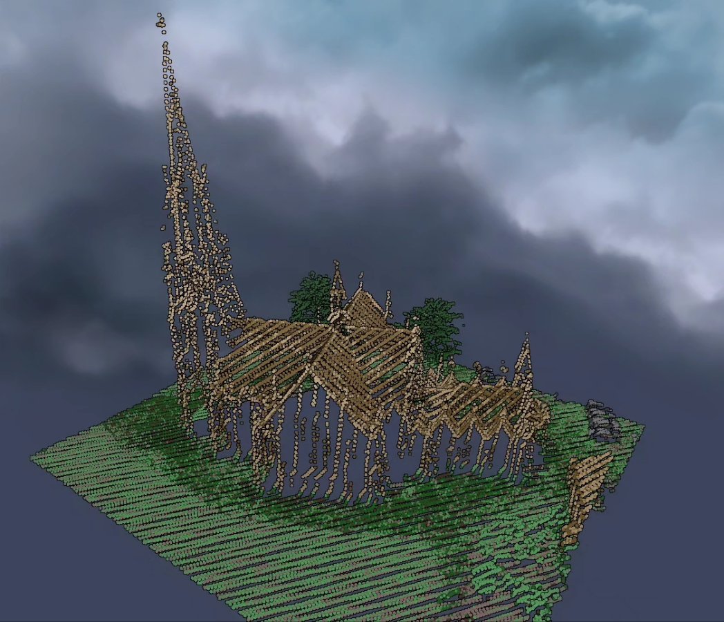
If you're feeling bored you might want to try the game 'What Heritage Building Is That?' All the heritage buildings are in Dunedin, Ōtepoti. . . . Give it a try and see how you do. Answers below. Source: @OpenTopography
account_circle
LINZ Data Service(@LINZLDS) 's Twitter Profile Photo

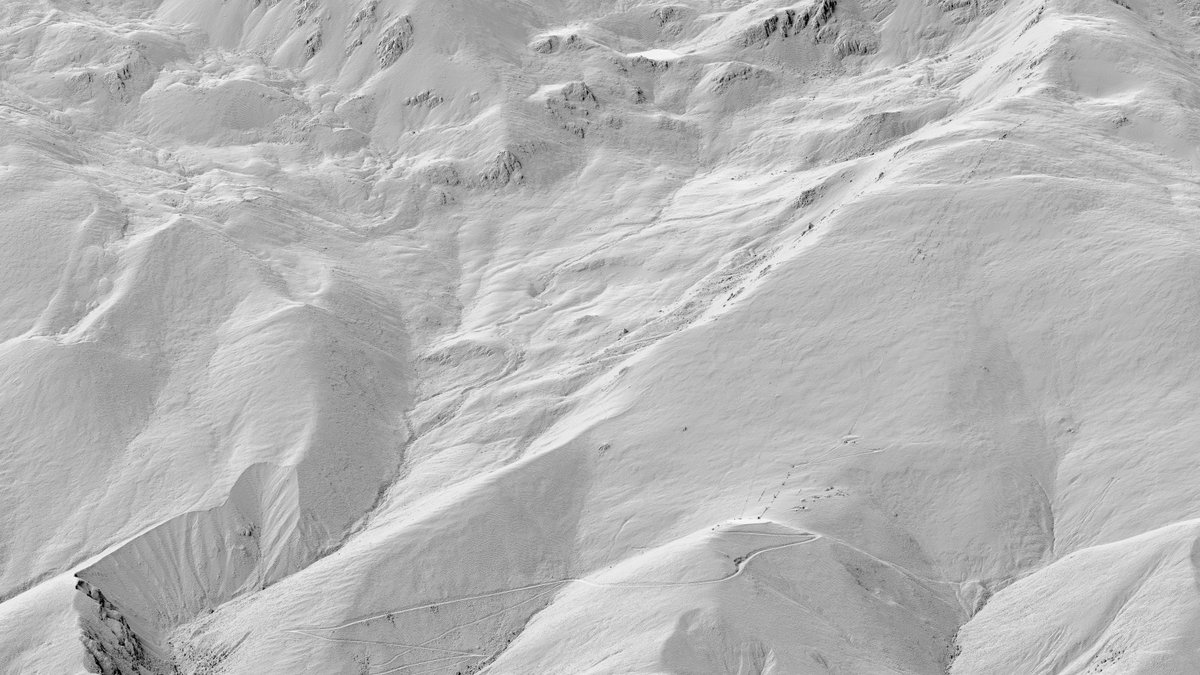
We’ve recently updated dataset for the Canterbury region which now covers the Southern Canterbury area data.linz.govt.nz/layer/111133 Thanks @ECAN. Check out our visualisation of Fox Peak Ski Area, Fairlie. Point cloud OpenTopography doi.org/10.5069/G9Q23X…

We’ve recently updated #LiDAR dataset for the Canterbury region which now covers the Southern Canterbury area data.linz.govt.nz/layer/111133 Thanks @ECAN. Check out our visualisation of Fox Peak Ski Area, Fairlie. Point cloud @OpenTopography doi.org/10.5069/G9Q23X… #opendata
account_circle
OpenTopography(@OpenTopography) 's Twitter Profile Photo

Recent National Center for Airborne Laser Mapping datasets on OT:
-Quantifying Channel Change in a Steep Coastal Stream, Big Sur, CA
-Spatial Heterogeneity & Channel Evolution, Swan & Middle Fork Flathead Rivers, MT
-Characterization of Dune-Dune Interactions, Rice Valley, CA
opentopography.org/news/new-ncalm…

Recent @NCALM_UH #lidar datasets on OT: -Quantifying Channel Change in a Steep Coastal Stream, Big Sur, CA -Spatial Heterogeneity & Channel Evolution, Swan & Middle Fork Flathead Rivers, MT -Characterization of Dune-Dune Interactions, Rice Valley, CA opentopography.org/news/new-ncalm…

account_circle
OpenTopography(@OpenTopography) 's Twitter Profile Photo

The Grand Canyon! USGS 10m (1/3rd arc-second) 3DEP data available here: doi.org/10.5069/G98K77… or via our USGS 3DEP raster API: portal.opentopography.org/apidocs/#/Publ…

account_circle
LINZ Data Service(@LINZLDS) 's Twitter Profile Photo

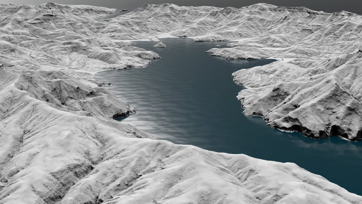
We’ve released data that covers the Banks Peninsula in the Canterbury region data.linz.govt.nz/layer/115802 Thanks @ECAN. Point clouds OpenTopography doi.org/10.5069/G9RB72… (Image: DEM of Akaroa Harbour)

We’ve released #LiDAR data that covers the Banks Peninsula in the Canterbury region data.linz.govt.nz/layer/115802 Thanks @ECAN. Point clouds @OpenTopography doi.org/10.5069/G9RB72… (Image: DEM of Akaroa Harbour) #opendata
account_circle
LINZ Data Service(@LINZLDS) 's Twitter Profile Photo

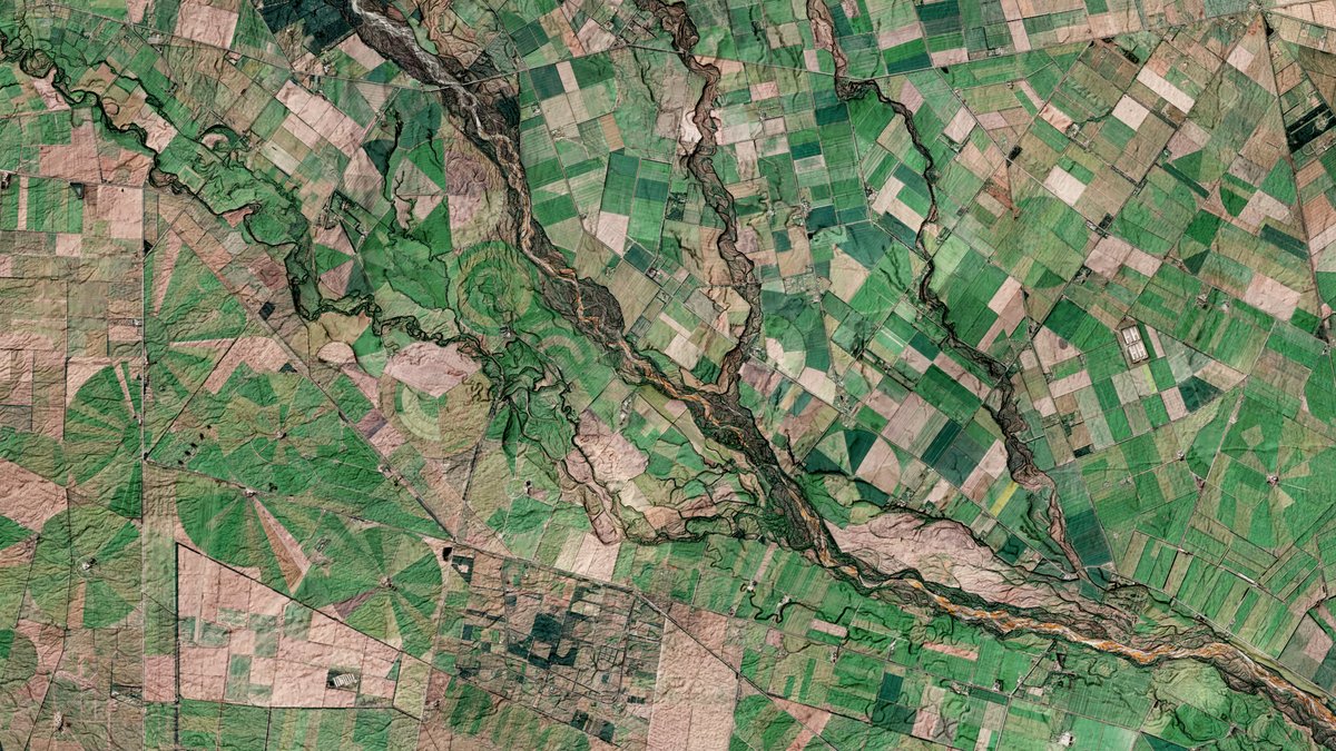
New for Selwyn in the Canterbury region. Thanks to @ECAN. Check out our image of the Selwyn River / Waikirikiri, DEM/DSM available at data.linz.govt.nz/layer/115805 & point cloud OpenTopography doi.org/10.5069/G9W37T…

New #LiDAR for Selwyn in the Canterbury region. Thanks to @ECAN. Check out our image of the Selwyn River / Waikirikiri, DEM/DSM available at data.linz.govt.nz/layer/115805 & point cloud @OpenTopography doi.org/10.5069/G9W37T… #opendata
account_circle