Zach Tolby(@ZachTolby) 's Twitter Profile Photo

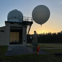
NOAAs Fire Weather Testbed is hiring!

This is a super unique opportunity to help facilitate the transition of new fire weather forecasting technology to operations.

gsl.noaa.gov/fire-wx/fire-wโ€ฆ

account_circle
Peter Dynes(@PGDynes) 's Twitter Profile Photo

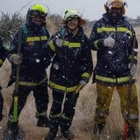
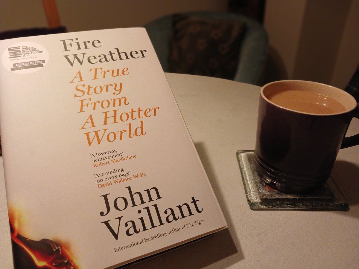
Heatwaves bring more 'Fireweather' - Being a will be one of the most dangerous jobs this year and in the years to come. At least 51 people were killed by these latest forest fires in Chile's region, believed to be 's deadliest fires on record.

account_circle
Zach Tolby(@ZachTolby) 's Twitter Profile Photo

Iโ€™m excited to share that I have accepted a new position as the Director of NOAAโ€™s new Fire Weather Testbed.

Iโ€™m grateful for the dedicated professionals Iโ€™ve worked with and learned from over the last 12 years at NWS Reno who continue to stand watch.

Iโ€™m excited to share that I have accepted a new position as the Director of NOAAโ€™s new Fire Weather Testbed. 

Iโ€™m grateful for the dedicated professionals Iโ€™ve worked with and learned from over the last 12 years at  @NWSReno who continue to stand watch. #weather #fireweather
account_circle
Wes Regan(@411Regan) 's Twitter Profile Photo

My parents (my dad a retired water bomber) were evacuated from Friday and drove to Kelowna to stay with my sister. Her neighborhood in is now on evac alert. Canadaโ€™s wildfire season from hell continues kelownacapnews.com/news/mcdougallโ€ฆ

account_circle
Reed Timmer, PhD(@ReedTimmerUSA) 's Twitter Profile Photo

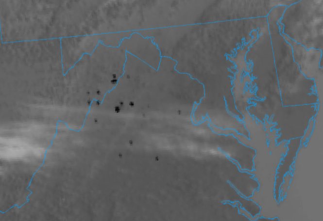
Wildfire smoldering north of Fruitland, NC as temperatures fall through the 40s. More prime wildfire expansion conditions tomorrow

Wildfire smoldering north of Fruitland, NC as temperatures fall through the 40s. More prime wildfire expansion conditions tomorrow #ncwx #fireweather
account_circle
Jonathan Sachar(@jsacharwx) 's Twitter Profile Photo

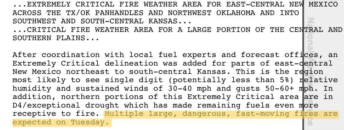
I know we have a potential severe weather outbreak tomorrow but this just happened to catch my eyeโ€ฆ Multiple large, dangerous, fast moving fires are expected tomorrow across portions of the central and southern plains. Crazy stuff! twitter

I know we have a potential severe weather outbreak tomorrow but this just happened to catch my eyeโ€ฆ Multiple large, dangerous, fast moving fires are expected tomorrow across portions of the central and southern plains. Crazy stuff! #wx #wxtwitter #fireweather
account_circle
Kerryn Little(@LittleKerryn) 's Twitter Profile Photo

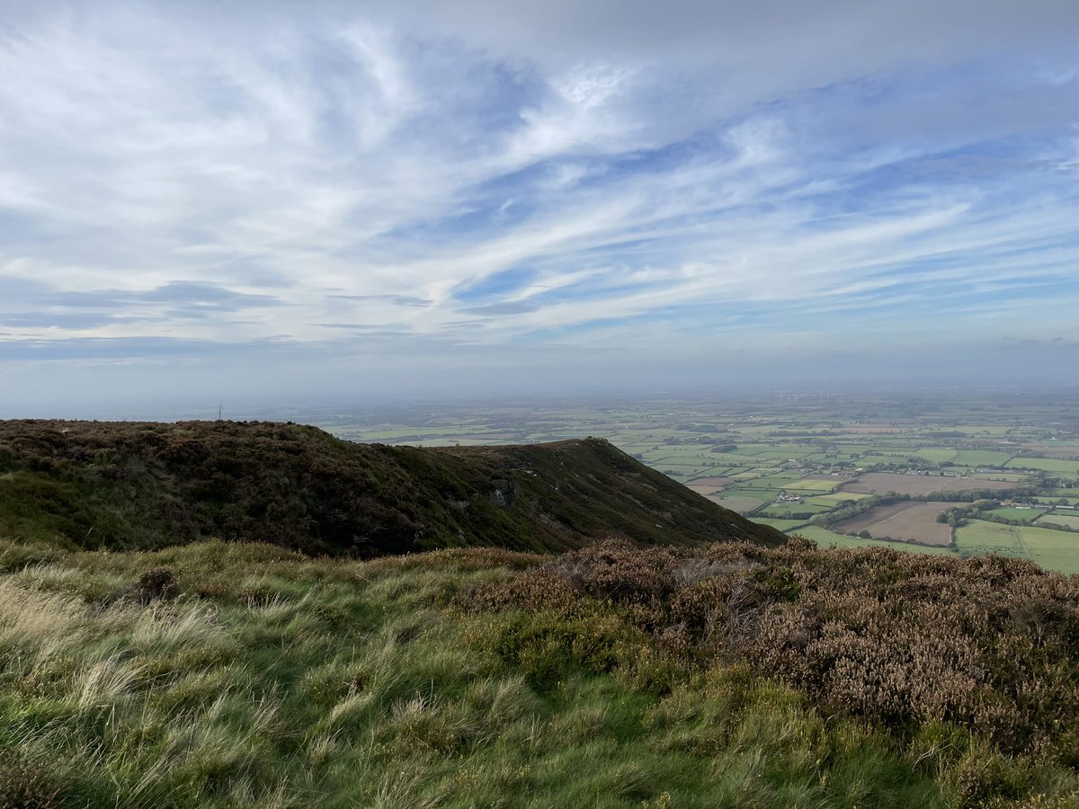
End of an era! Packing up all 36 fuel moisture monitoring plots on the North York Moors. Thank you to the Estates and individuals involved in making such an extensive landscape scale fuel moisture campaign possible. Look out for our results ๐Ÿ‘€

End of an era! Packing up all 36 fuel moisture monitoring plots on the North York Moors. Thank you to the Estates and individuals involved in making such an extensive landscape scale fuel moisture campaign possible. Look out for our results ๐Ÿ‘€ #firedanger #fireweather #fmc
account_circle
Kody Wilson(@kodythewxguy) 's Twitter Profile Photo

FIRE WEATHER CONDITONS WILL BE IN PLACE ON SUNDAY WITH HOT TEMPERATURES AND GUSTY WINDS.

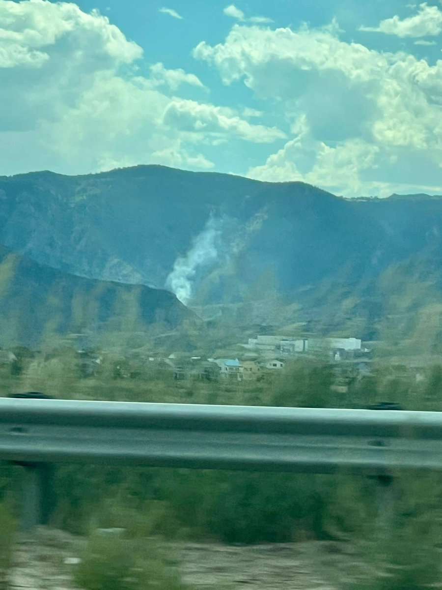
This smoke was spotted west of Chatfield at 3:05.

๐Ÿ“ธ Travis Tangen

FIRE WEATHER CONDITONS WILL BE IN PLACE ON SUNDAY WITH HOT TEMPERATURES AND GUSTY WINDS. 

This smoke was spotted west of Chatfield at 3:05. #COwx #Wildfire #Smoke #FireWeather 

๐Ÿ“ธ Travis Tangen
account_circle
Jan Summers..๐Ÿท๐Ÿ‡ฆ๐Ÿ‡บ๐Ÿท(@JanSummersalt) 's Twitter Profile Photo

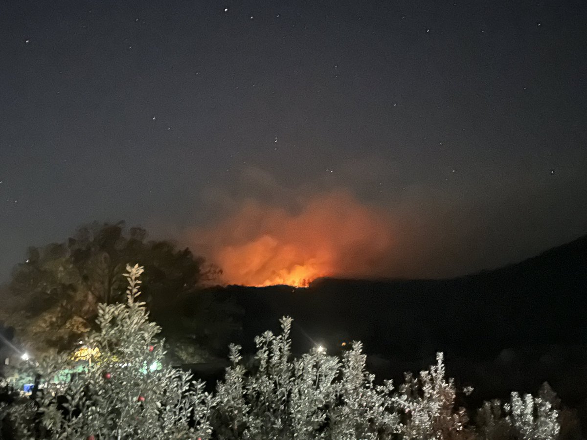
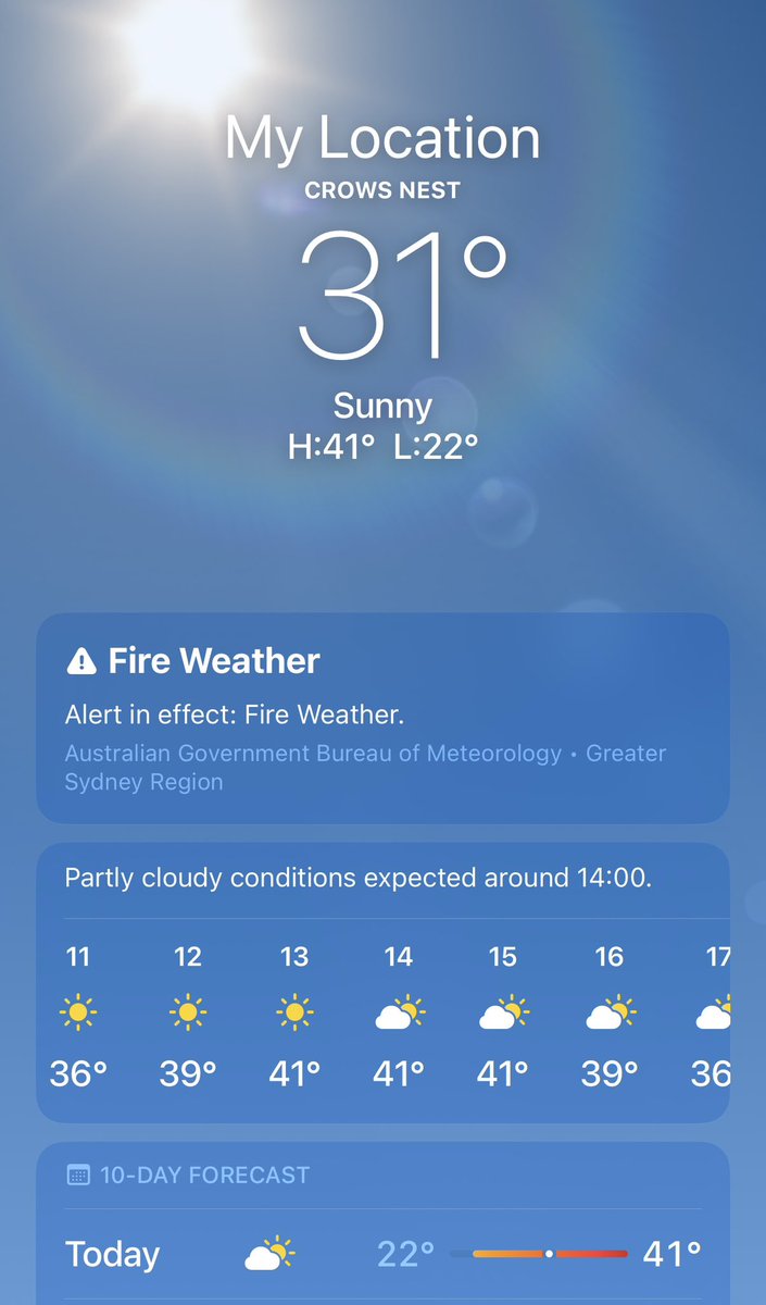
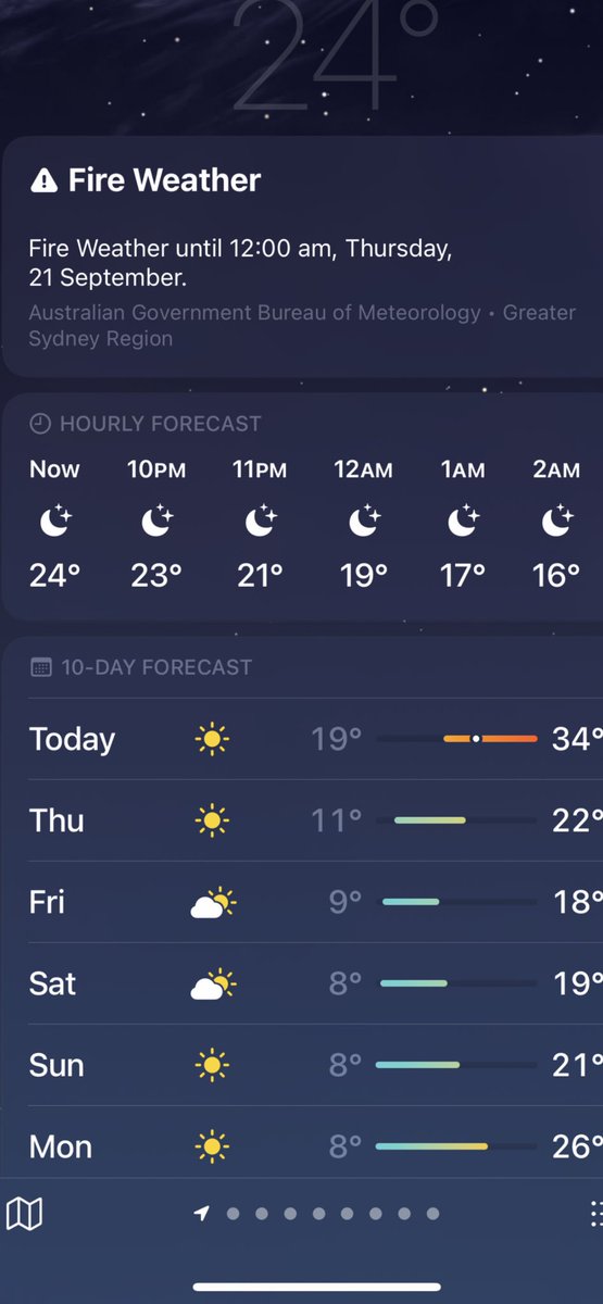
Noticed this last night & had trouble sleeping with fear. is a new one..๐Ÿ˜ณ
Thankfully I survived till 12.am & lived to tell the tale.๐Ÿ˜‚๐Ÿ˜‚๐Ÿคฆโ€โ™€๏ธ

Noticed this last night & had trouble sleeping with fear. #FireWeather is a new one..๐Ÿ˜ณ 
Thankfully I survived till 12.am & lived to tell the tale.๐Ÿ˜‚๐Ÿ˜‚๐Ÿคฆโ€โ™€๏ธ #CarryOn
account_circle
WichitaFireDept(@WichitaFireDept) 's Twitter Profile Photo

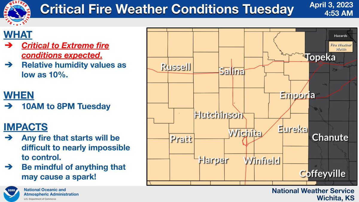
4/4/23, another critical-extreme fire condition day. The fire weather potential is highest from 10 am - 7 pm with the wind gusts up to 60 mph. Please be mindful of anything that could create a spark and do not discard cigarettes out of your vehicle.

4/4/23, another critical-extreme fire condition day.  The fire weather potential is highest from 10 am - 7 pm with the wind gusts up to 60 mph.  Please be mindful of anything that could create a spark and do not discard cigarettes out of your vehicle. #wichitaFD #fireweather
account_circle
Dr. Mayra Oyola-Merced(@theweatherprof) 's Twitter Profile Photo

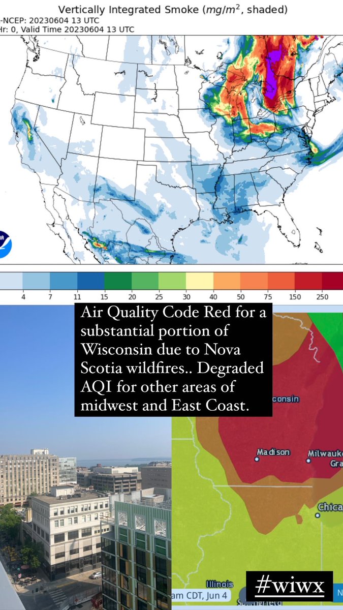
Poor air quality (code red) over WI this am, due to unprecedented fires in Nova Scotia. Those with compromised health should avoid prolonged outdoor activity. Those not health-compromised should limit the time they spend outdoors.

Poor air quality (code red) over WI this am, due to unprecedented fires in Nova Scotia. Those with compromised health should avoid prolonged outdoor activity. Those not health-compromised should limit the time they spend outdoors. #wiwx #fireweather #aqi #publichealth
account_circle