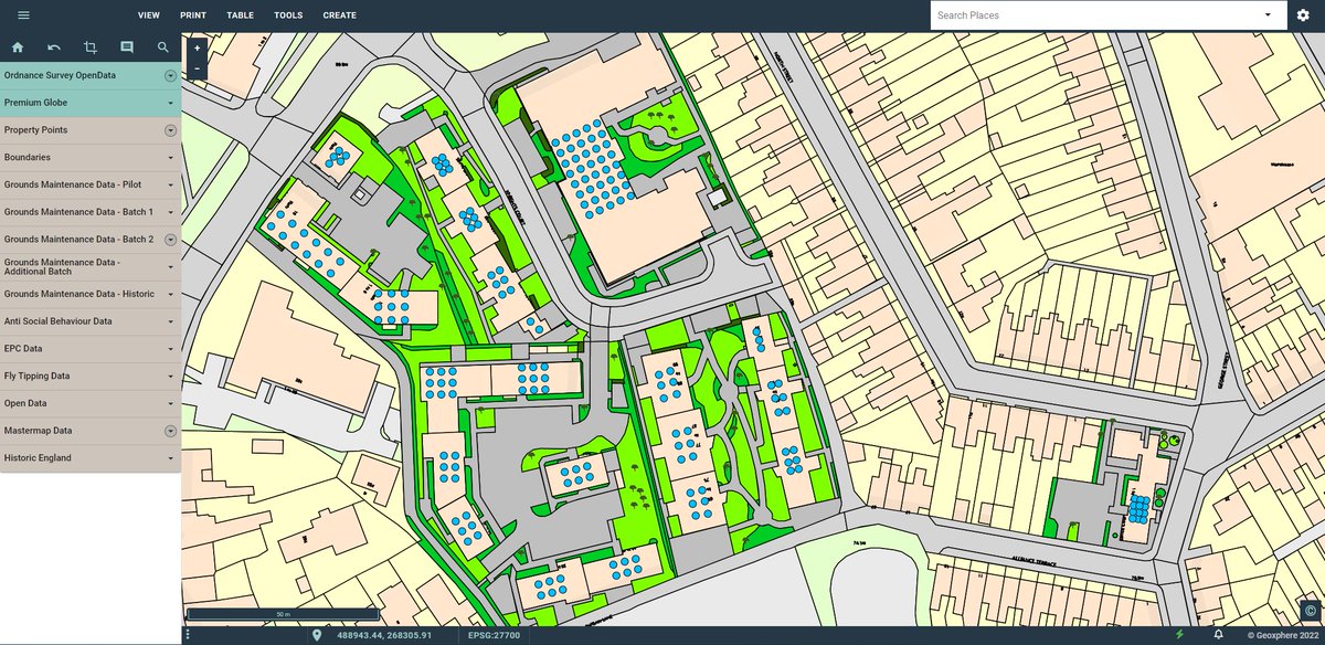
ODCGIS are pleased to announce we have added XMAP, Geoxphere’s cloud-based GIS, as a cost-effective solution to the range of GIS platforms we recommend strengthening our unique GIS Managed Service. odc.co.uk/2023/05/10/odc… #gismapping #SocialHousing #geoxphere #odcgis

Out on the Neil Armstrong research vessel in the Atlantic exploring new student #experientiallearning opportunities. #gismapping #STEMSEAS #HBCUs #NorthAtlanticEddies #GulfStreamCurrents Lisa White Black in Marine Science BlackInGeoscience TSU College of Agriculture TSU Applied GIS


Start for free.
Details and documentation: getzingdata.com/blog/location-…
#data #logistics #operations #mobileapp #businessintelligence #data analytics #locationintelligence #locationdata #geospatial data #geospatial #gismapping #warehouses #maintenance #mysql #google #oracle
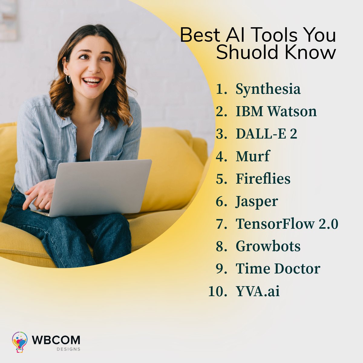
Best AI Tools 2023
Visit at: wbcomdesigns.com/best-ai-tools/ #ai tools #ai #artificialintelligence #digitaltwin #indoormapping #newtech #geospatial data #datamapping #gis #mapping #geospatial technology #gis mapping #dmapping #geospatial

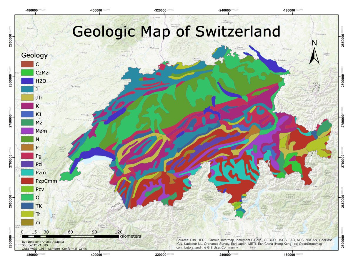
Geology is the study of the earth. Understanding earth history helps foresee how past events affect the future. Hazard areas can be identified and avoided. Below, a map showing Switzerland's geology. Can you identify the rocks shown?🙂
#geology #gismapping #cartography #spatial
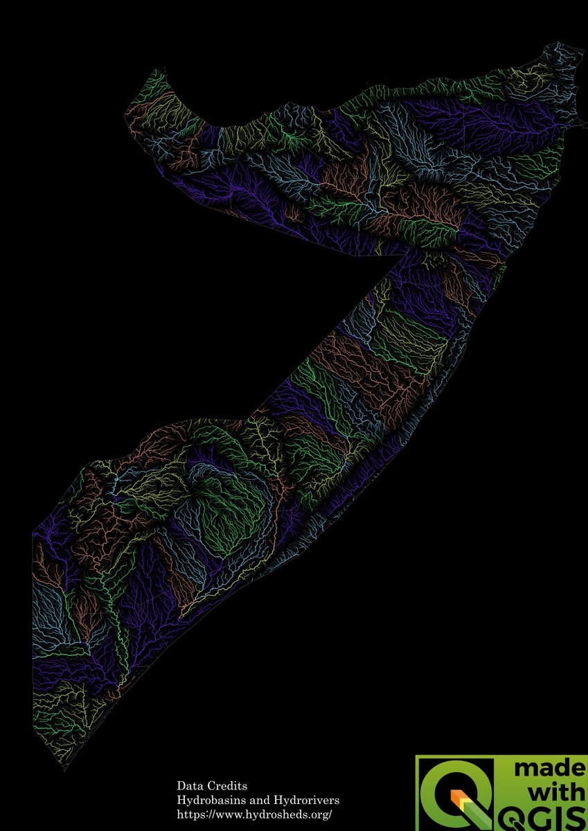
I love artistic river maps so I made one using QGIS,
This is 𝐒𝐨𝐦𝐚𝐥𝐢𝐚 𝐂𝐨𝐥𝐨𝐫𝐢𝐳𝐞𝐝 𝐫𝐢𝐯𝐞𝐫 𝐁𝐚𝐬𝐢𝐧 𝐦𝐚𝐩 and I think it looks beautiful.
#qgis #gismapping #hydrology #rivers #somalia

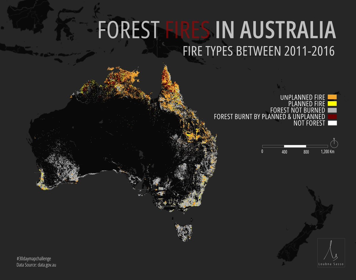
Today's theme for #30daymapchallenge is #Oceania !
I've chosen to map out Australia's Forest fires between 2011 and 2016
#gis #gis mapping #opensource #geospatialanalysis #dataanalysis

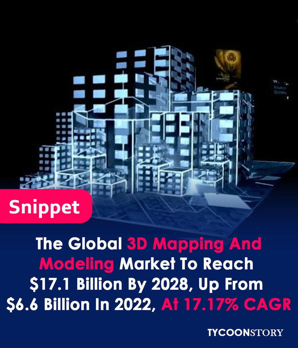
Global Mapping Modeling Market Reach $17.1B by 2028, from $6.6B in 2022, 17.17% CAGR
#3dmodeling #3dscanning #3dprinting #3DTechnology #virtualreality #architecture #engineering #GISMapping Maxar Technologies Autodesk Bentley Systems, Inc Trimble Inc. Intermap Esri Dassault Systèmes pix4d

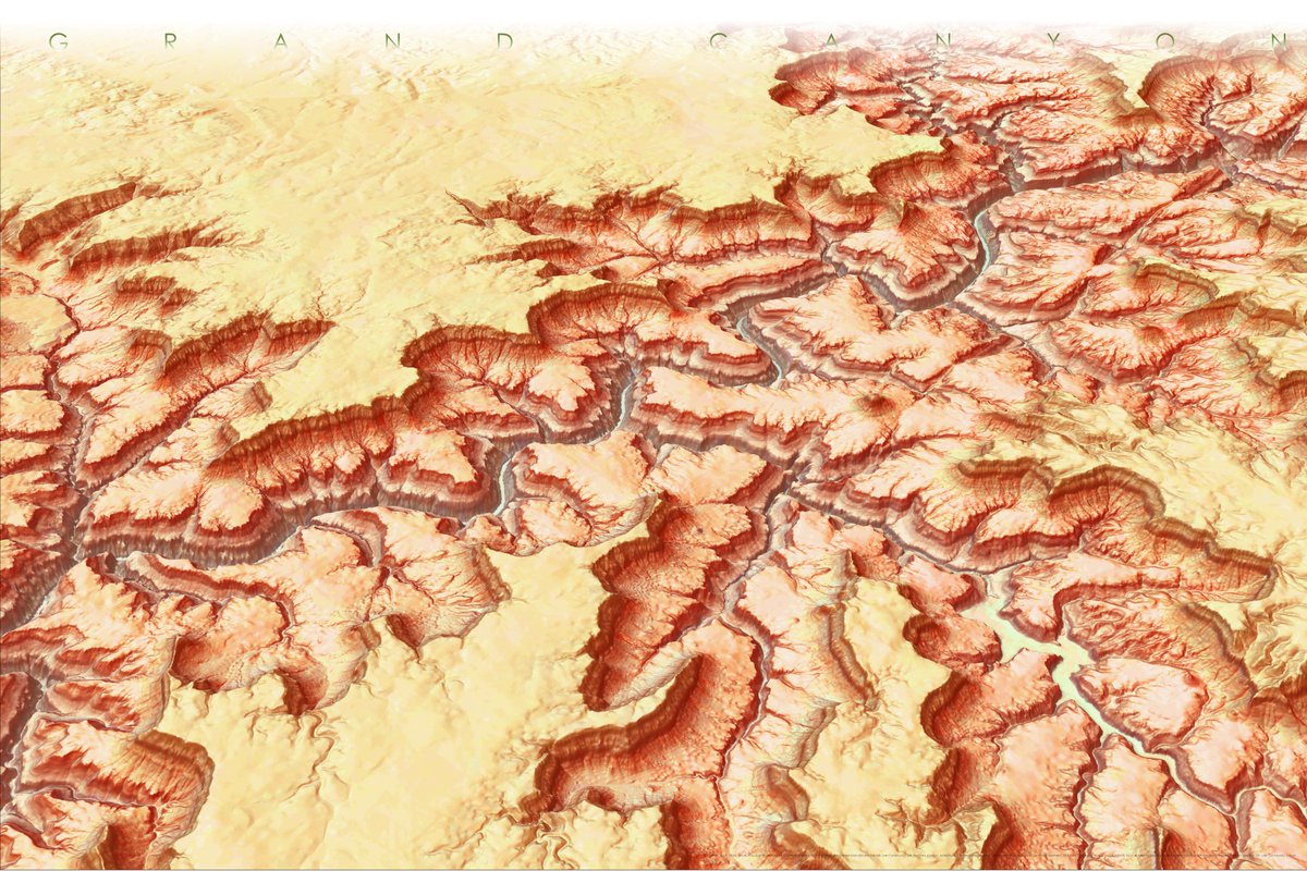
I was inspired by John Nelson 5 minute map and I decided to recreate it, using this walkthrough esri.com/arcgis-blog/pr…
It was great to try out some spectacular blend modes.
#GIS #gismapping #geospatial #arcgispro

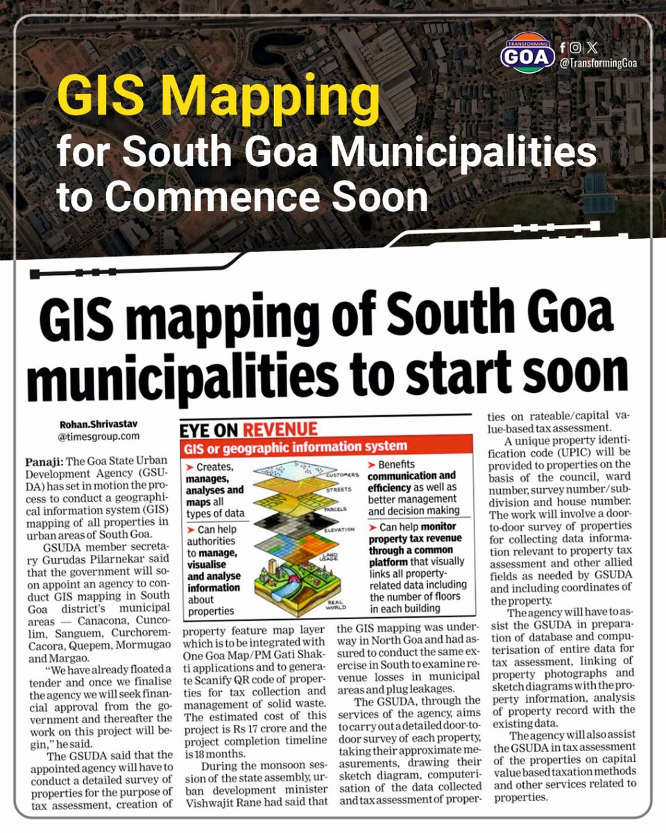
GIS Mapping for South Goa Municipalities to Commence Soon
#goa #GoaGovernment #TransformingGoa #facebookpost #bjym #bjym goa #GIS #southgoa #GIS mapping #municipalities

Navigating the Future: 23+ Best AI Tools for Job Seekers in 2024
Visit at: wbcomdesigns.com/best-ai-tools-…
#ai tools #AIToolsforJobSeekers #ai #artificialintelligence #digitaltwin #indoormapping #newtech #geospatialdata #datamapping #gis #mapping #geospatialtechnology #gis mapping


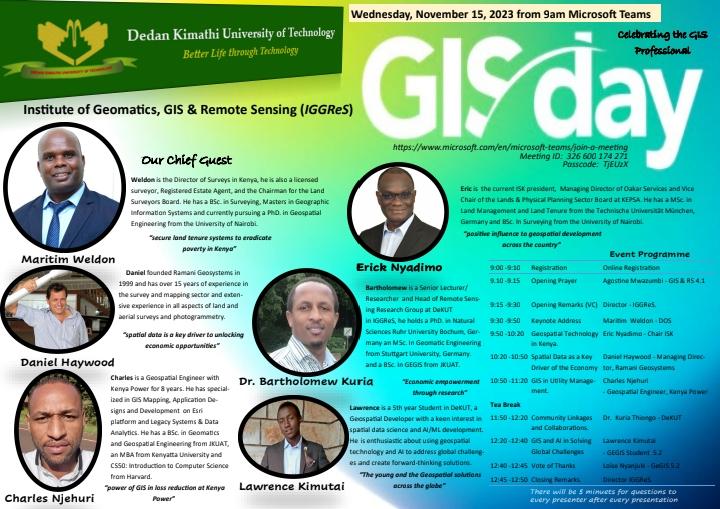
DeKUT will join the rest of the world in marking and celebrating the Annual World's GIS Day tomorrow, 15th November 2023, at the University grounds.
#GISDay #Geospatial #GISCommunity #GISTechnology #GISMapping #Mapping

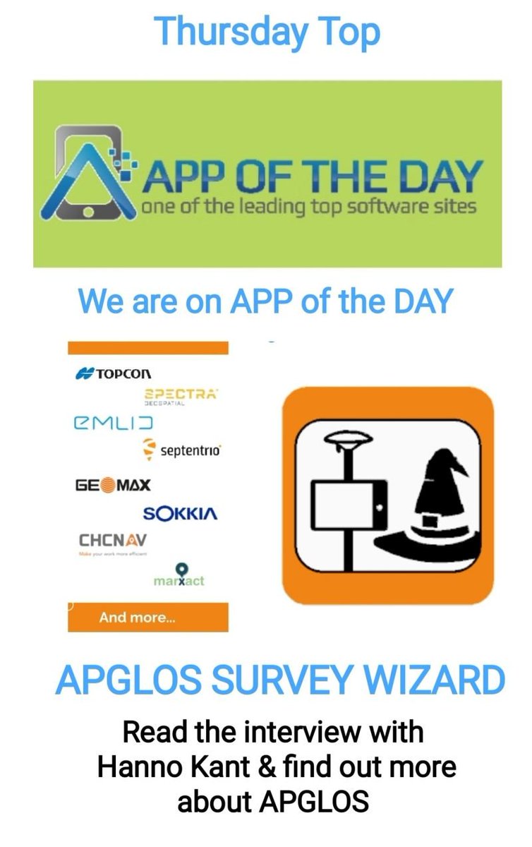
APGLOS are on APP of the Day
: lnkd.in/gEJCcexf
#landsurveying 4 Everyone - #magic of Land Surveying
#app #collaboration #teamwork #gismapping
#ios #education #training #HSE #software #construction
#mapping #gnss #infrastructure #utilities
#sustainabledevelopment

The first book to examine the role of the #Luftwaffe in #Nazicrimes and #Holocaust since 1945. The inclusion of #GISmapping methods to bring the reader in step with the Nazi killers. Adolf Galland is revealed for his part in Nazi crimes and furthering the ambitions of Hitler.


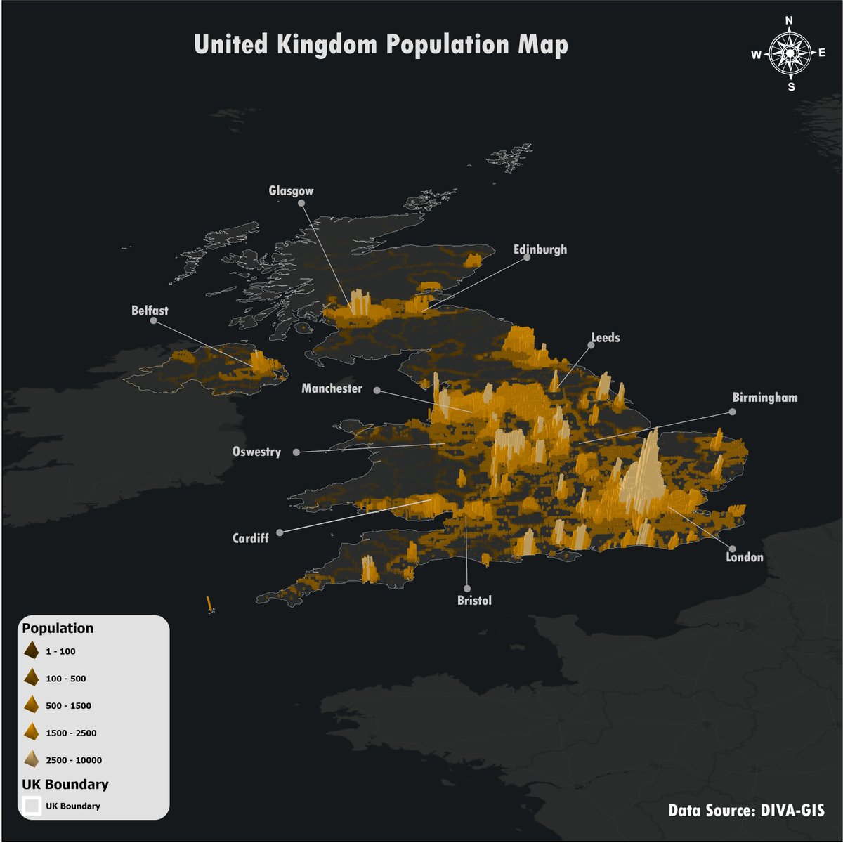
of people in each area, providing a clear visual of urban versus rural habitation. It's a practical and informative approach to understanding population distribution across regions. #30daymapchallenge #gismapping #networkdesign

43 Crazy Ai Tools Tools you need to know and don't forget to follow for more content
#ai tools #ai #artificialintelligence #digitaltwin #indoormapping #newtech #geospatial data #datamapping #gis #mapping #geospatial technology #gis mapping #dmap ping #geospatial #dmap #digitaltwin s


Brand Design 👌 for Kola Properties Limited, Real Estate Developers/ Managers, Land Surveyors, Savings & Investment Consultants.
#branddesign #investment #consultants #realestate #gismapping #branding #corporatedesign


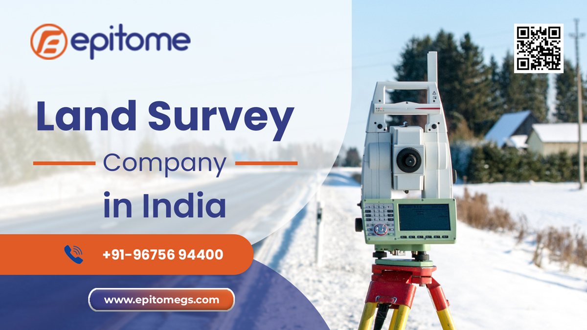
Welcome to Epitome Geotechnical - Your Trusted Partner in Land Survey Solutions across India! 🌐🗺️ Contact us today for a seamless experience in mapping your land's future. 🌍🔍 #LandSurvey #GPRSurvey #topographicsurvey #gismapping #epitome #dornesurvey
epitomegs.com
![Greg Cocks 🇺🇦 (@gregcocks_kiwi) on Twitter photo 2023-07-18 16:49:03 4 [Of Many] #Careers In #GIS [ / #SpatialData] With Great #Job Outlooks
--
gis.usc.edu/blog/the-4-fas…
-
[I am not associated with this university in any way]
#spatial #mapping #gischat #gismapping #career #careeradvice #jobtraining #training #traininganddevelopment #spatialanalysis 4 [Of Many] #Careers In #GIS [ / #SpatialData] With Great #Job Outlooks
--
gis.usc.edu/blog/the-4-fas…
-
[I am not associated with this university in any way]
#spatial #mapping #gischat #gismapping #career #careeradvice #jobtraining #training #traininganddevelopment #spatialanalysis](https://pbs.twimg.com/media/F1VWWUSacAAzFrI.jpg)