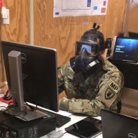
Flooding on the main roads outside the Crowne Plaza hotel in Tumon, #Guam .
#mawar #typhoonmawar #Mawarhitsguam #photomappers

Yesterday, the #GALLANTGlasgow #photomappers had a fantastic time exploring the The Hidden Gardens 🌳🗺️ So inspiring to see a once derelict space transformed into such a peaceful place. Thanks for showing us around Andrea, we will be back! #hiddenGlasgow #mappingadventures 📷
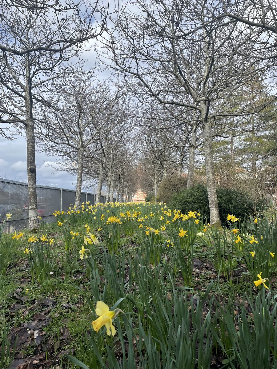

Damage to the exterior of the #Guam Regional Medical City Hospital. The hospital appears to be running on backup generators, but is otherwise operational.
#TyphoonMawar #Mawar #Mawar hitsguam #photomappers
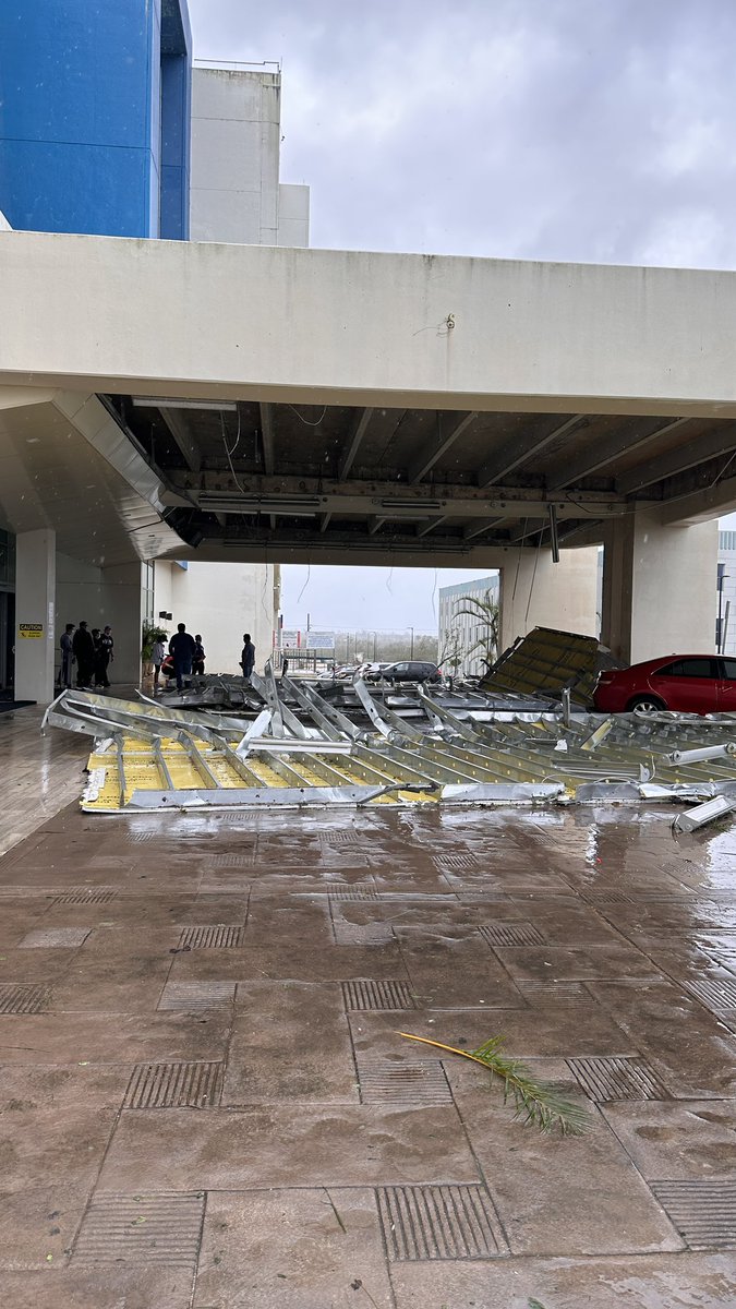

Yesterday the #GlasgowSouthside #photomappers had a fantastic time visiting Bike for Good Glasgow! We loved learning about their mission to help people in Glasgow get into cycling and seeing the incredible community workshop! Can't wait to come back! #sustainabletransport #ActiveTravel


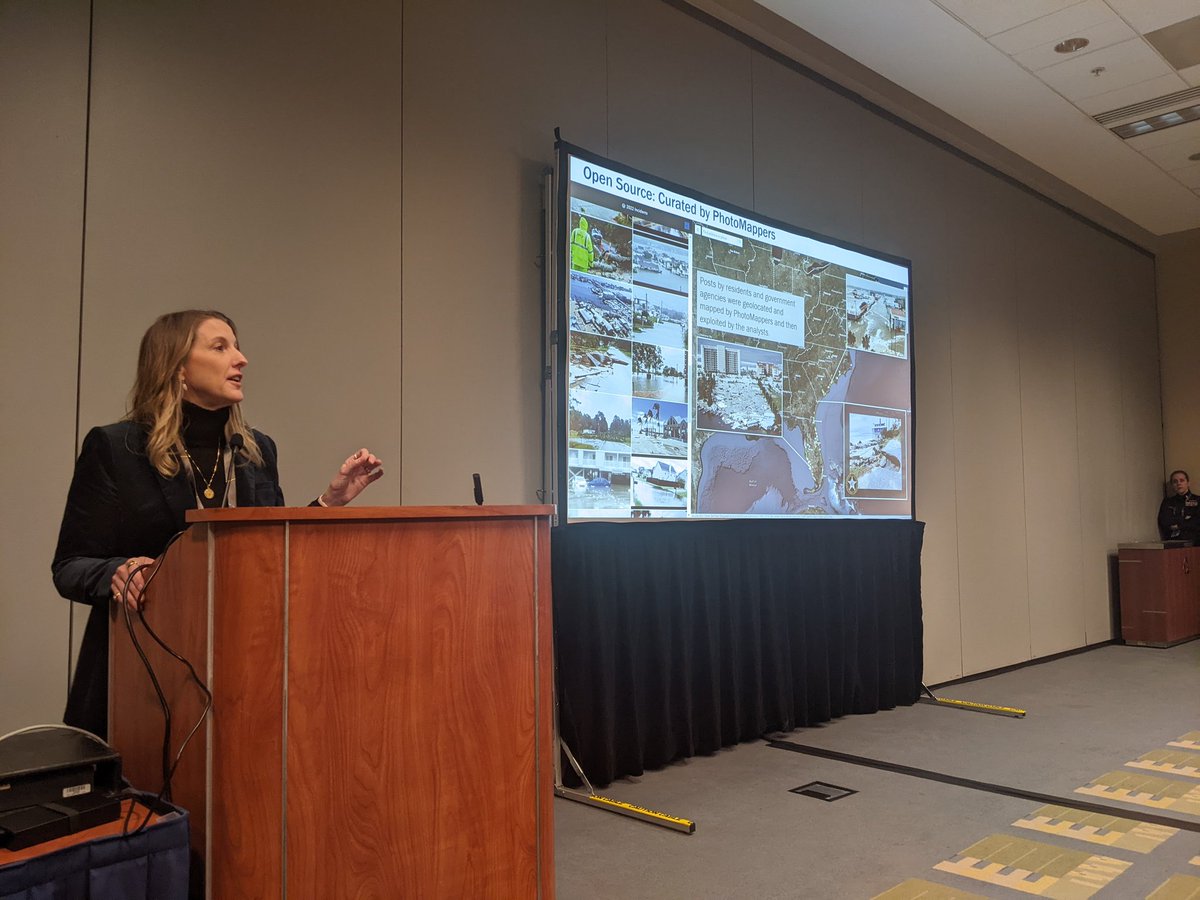
'The first info coming in during an incident.' #PhotoMappers getting a huge shout-out during the EM and Disaster Response SIG at #FedGIS URISA's GISCorps CEDR Digital Corps

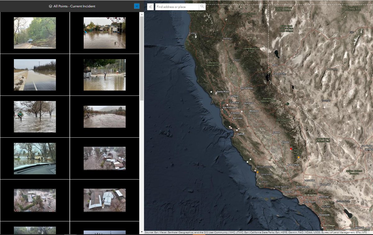
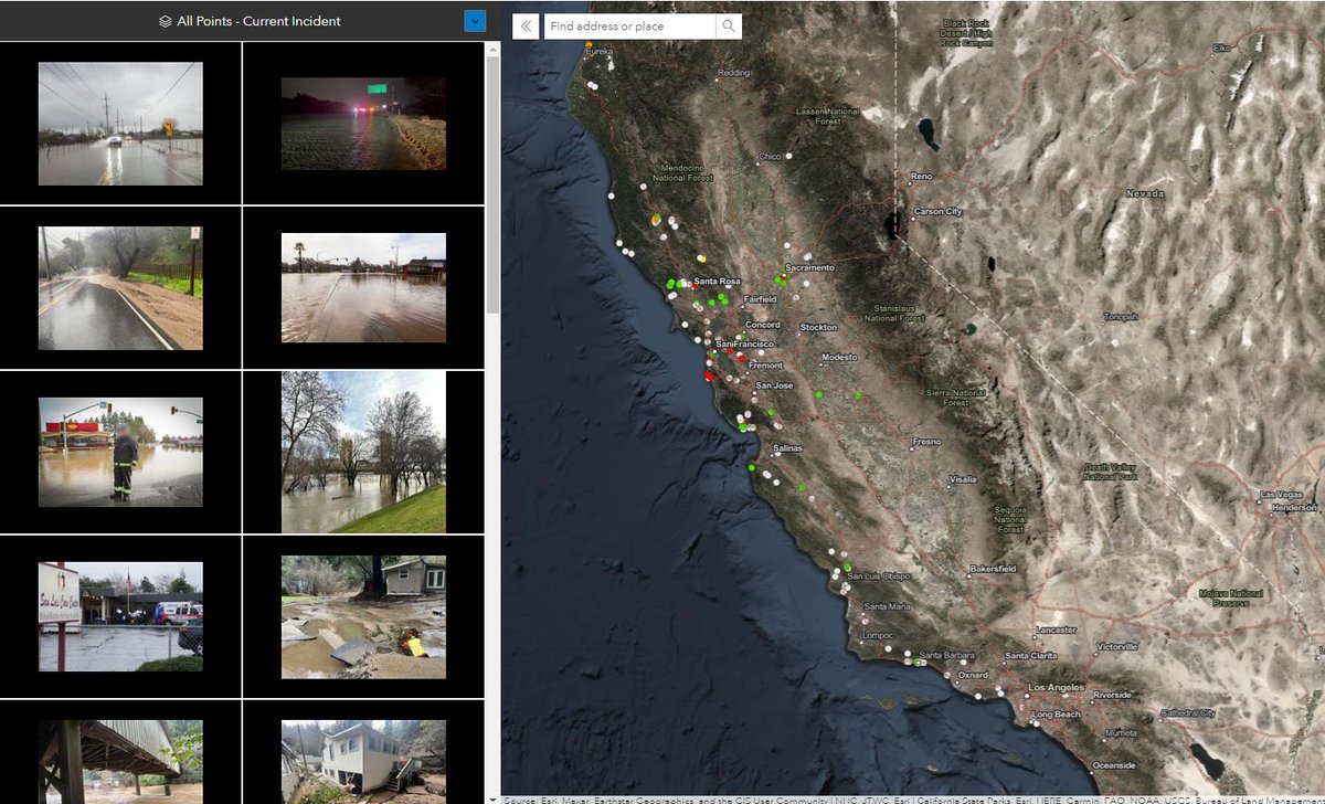
#photomappers have been activated in support of the CA flooding. Seeing damage in #CountyofSLO CountyofTulare County of Kern Santa Cruz County County of Santa Clara San Joaquin County Contra Costa County County of Sonoma.

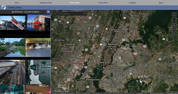
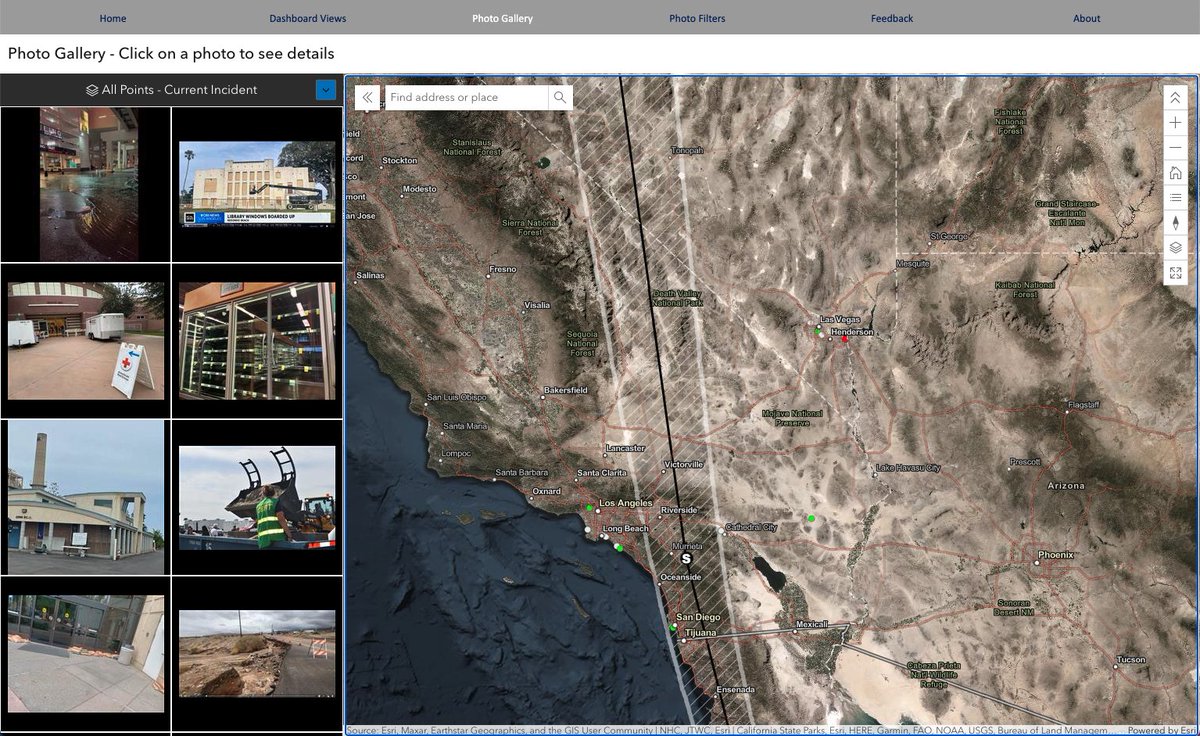
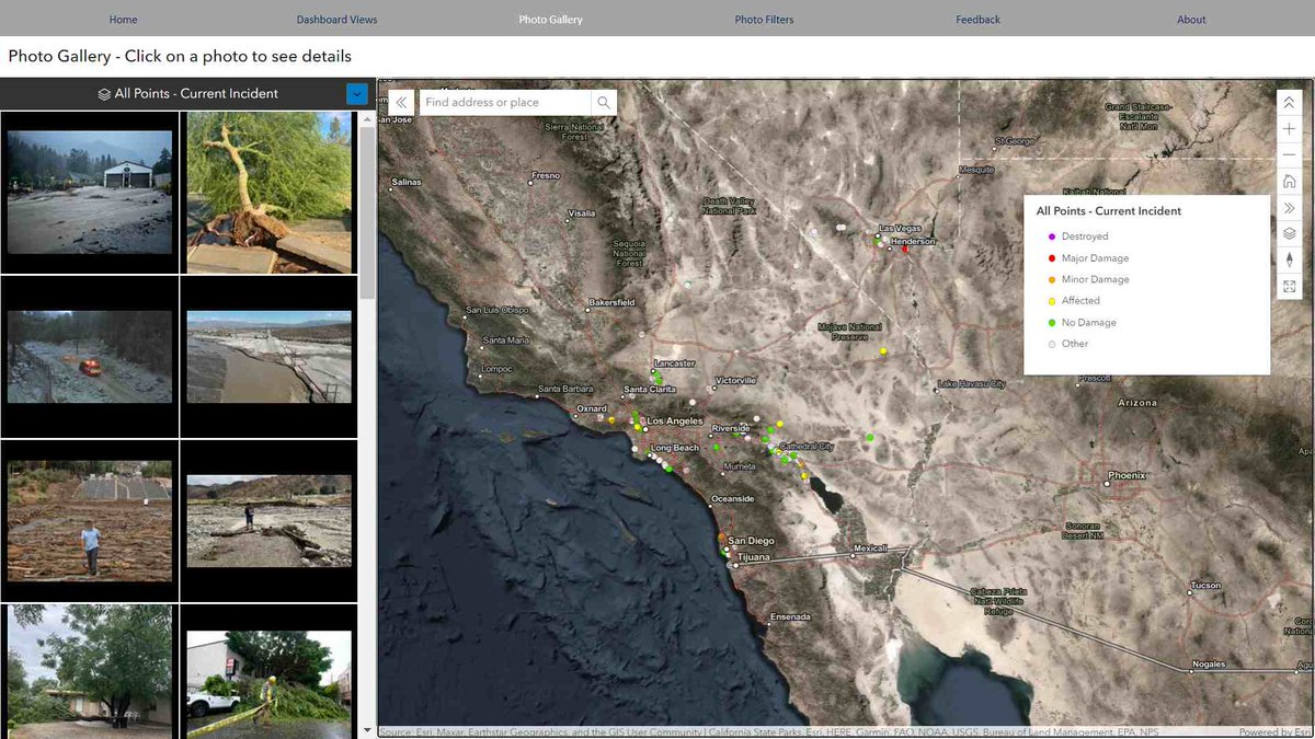
#PhotoMappers volunteers are geolocating and aggregating photos from social media and news outlets to monitor the effects of #Hilary . So far it's not too bad, but we know the real impacts likely won't be seen in the United States until this afternoon. experience.arcgis.com/experience/d61…

Map of missions since December 2019 to October 2023.
My cat was part of me contributing to these.
Reminding me to take breaks, eat, walks, and comforting me when it got rough or when I had nightmares.
I consider her an unoffical member of the #PhotoMappers team in memoriam.


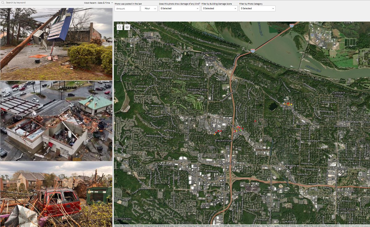
URISA's GISCorps #PhotoMappers activated again last night and have been mapping storm damage across multiple states. City of Little Rock Indiana Homeland Security ReadyIllinois IowaHSEMD @T_E_M_A msema
experience.arcgis.com/experience/d61…

#Photomappers continue to map damage from the devastating series of severe storms on the west coast. 200+ photos as of this morning have been geolocated to help response agencies understand the impacts. #California #flooding #mudslides
URISA's GISCorps CEDR Digital Corps

The URISA's GISCorps NAPSG Foundation
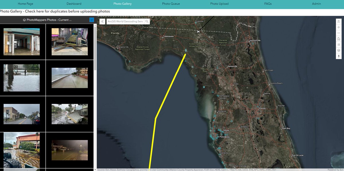
#PhotoMappers have activated and started mapping photos and videos of the #HurricaneIdalia . This map will continue to populate and help emergency managers assess the damage. #Photomappers
Link: experience.arcgis.com/experience/0fb…

The URISA's GISCorps NAPSG Foundation #PhotoMappers have mapped photos and videos of the #MauiFires , starting with #Lahaina . This map will help emergency managers assess the damage.
Photo Gallery Link:
experience.arcgis.com/experience/d61…
#Wildfire #PhotoMappers #DisasterResponse


The URISA's GISCorps #PhotoMappers volunteers have mapped photos and videos of TS #Hilary to help response agencies understand the impacts.
Access the photo gallery and feature service in the Experience Builder app:
experience.arcgis.com/experience/d61… NAPSG Foundation CEDR Digital Corps


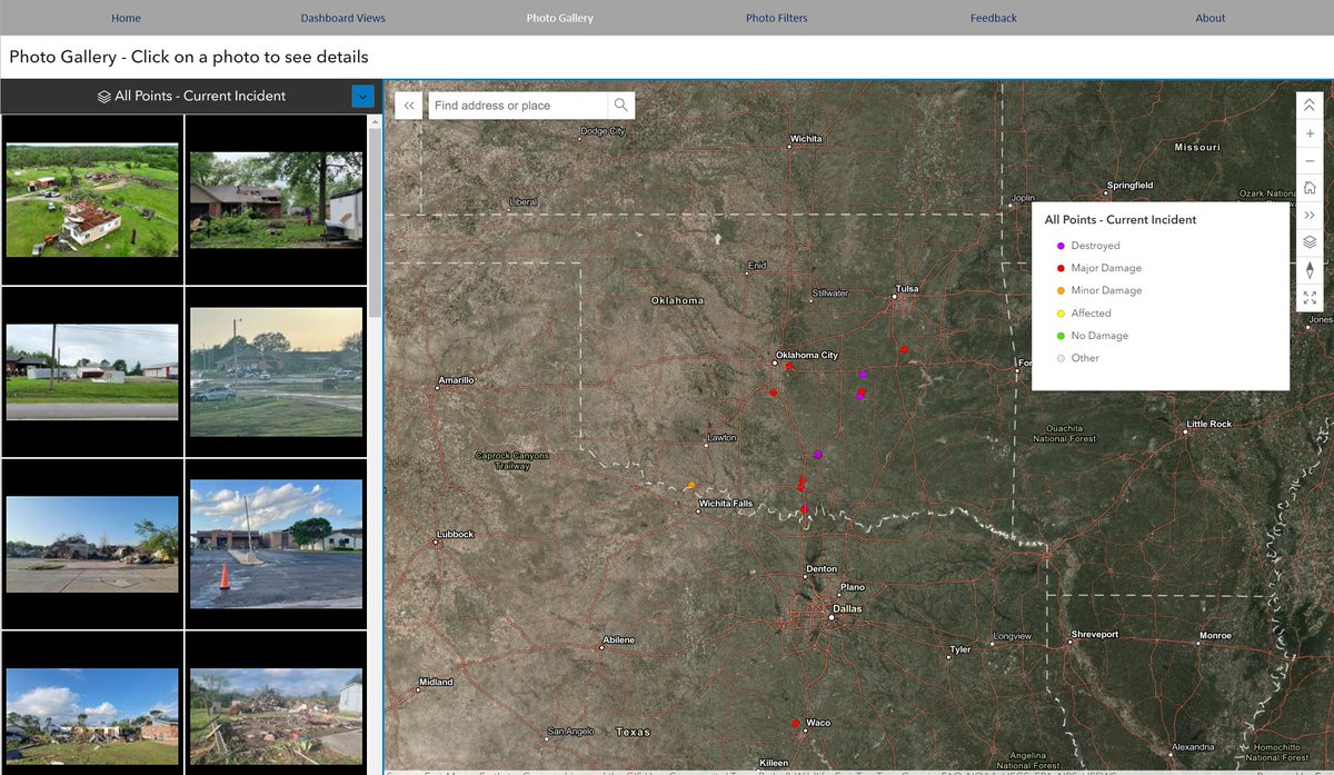
#PhotoMappers volunteers activated to gather photos showing the aftermath of this weekend's tornados in Oklahoma; see them mapped here: photomappers.org
cc NAPSG Foundation URISA's GISCorps Esri Disaster Response Program

Steve Peterson Esri Public Safety NAPSG Foundation FEMA Are you meaning Social Media when you say sm? If so yes, #PhotoMappers is integrated into the tool to view crowd sourced images from an affected area.
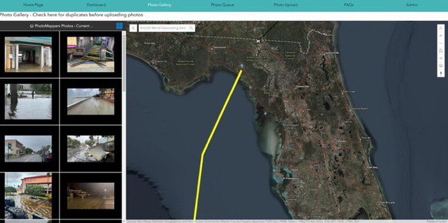

If y'all share any damage photos from disasters, please be specific with street names so help can be sent! Stay safe! #PhotoMappers

