Haldilal(@haldilal) 's Twitter Profile Photo

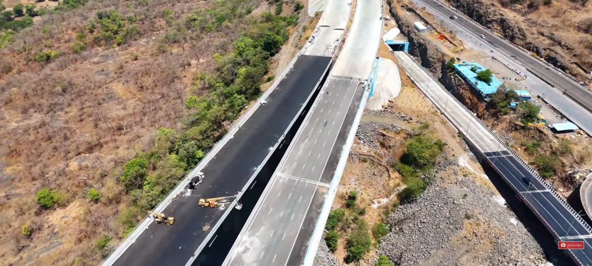
May Update on Mumbai Pune Expressway Missing link, 13.3 K.M, 5+5 lane consist of World's Widest Tunnels 8.92 K.M, 1.75 K.M long, 22.8 meter wide India's Highest Road Cable Stay Bridge, 790 Meters Viaduct at Lonavala. Consultant: GeoData. Promoter: MSRDC. Civil: AFCONS, Navayuga.

May Update on Mumbai Pune Expressway Missing link, 13.3 K.M, 5+5 lane consist of World's Widest Tunnels 8.92 K.M, 1.75 K.M long, 22.8 meter wide India's Highest Road Cable Stay Bridge, 790 Meters Viaduct at Lonavala. Consultant: GeoData. Promoter: MSRDC. Civil: AFCONS, Navayuga.
account_circle
Rodolfo Franco 🌎(@rodolfofrancoud) 's Twitter Profile Photo

Hola todos, comparto un catálogo con acceso a los principales servicios de datos del programa Copérnico 🟡 🛰️, la reconocida plataforma europea de observación terrestre: mixdyr.wordpress.com/sig/descargas-…

Hola todos, comparto un catálogo con acceso a los principales servicios de datos del programa Copérnico 🟡 🛰️, la reconocida plataforma europea de observación terrestre: mixdyr.wordpress.com/sig/descargas-…
#datos #geodata #sentinel #copernicus #copernico #sig #gis #esa #ecmwf
account_circle
Søren Johannessen(@neogeografen) 's Twitter Profile Photo

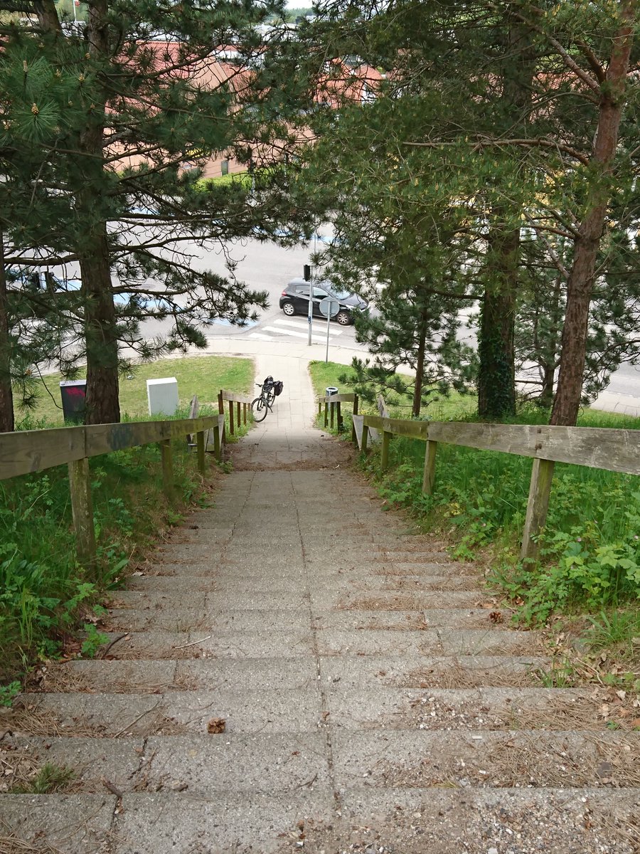
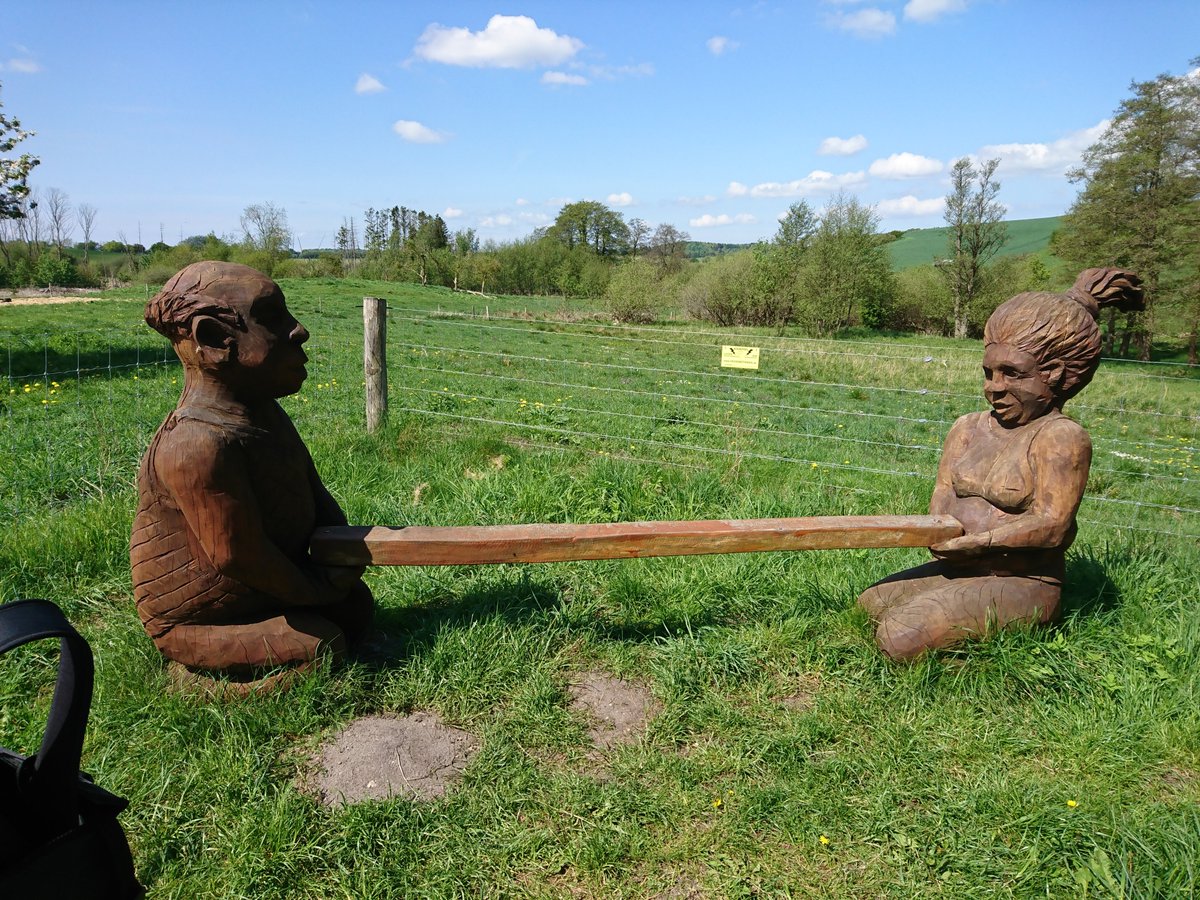
Kunstværk eller bænk? Næ det er en fitness station. Smider den i og endnu flere rekreative åbne frie geodata er skabt.

Kunstværk eller bænk? Næ det er en fitness station. Smider den i #openstreetmap og endnu  flere rekreative åbne frie geodata er skabt.
account_circle
Haldilal(@haldilal) 's Twitter Profile Photo

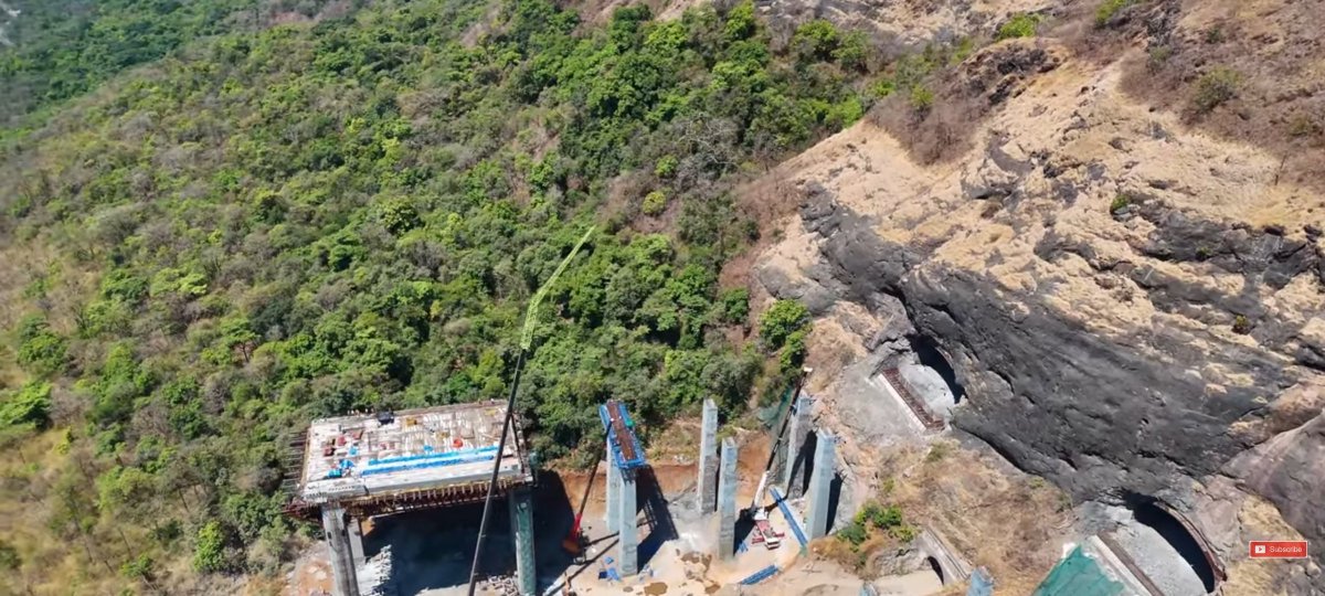
Update on the India's Highest Road Cable Stay Bridge.

Mumbai Pune Expressway Viaduct, 5+5 Lane, 640 Meter long, 183 Meter high, 22.8 Meter wide, main span of 305 Meter. Part of wider 13 K.M. Missing link project at Lonavala. Consultant: GeoData. Promoter: MSRDC. Civil: AFCONS.

Update on the India's Highest Road Cable Stay Bridge.

Mumbai Pune Expressway Viaduct, 5+5 Lane, 640 Meter long, 183 Meter high, 22.8 Meter wide, main span of 305 Meter. Part of wider 13 K.M. Missing link project at Lonavala. Consultant: GeoData. Promoter: MSRDC. Civil: AFCONS.
account_circle
Wikimedia Nederland(@wmnl) 's Twitter Profile Photo

Mei staat in het teken van COORDINATE ME 2024. Een internationale -competitie rond geodata om zoveel mogelijk gegevens toe te voegen aan Wikidata-items met geografische coördinaten. 👉🏽Doe mee en misschien win jij wel een cadeaubon van 150 euro: pub.wikimedia.nl/public/r/EUn82…

Mei staat in het teken van COORDINATE ME 2024. Een internationale #Wikidata-competitie rond geodata om zoveel mogelijk gegevens toe te voegen aan Wikidata-items met geografische coördinaten. 👉🏽Doe mee en misschien win jij  wel een cadeaubon van 150 euro: pub.wikimedia.nl/public/r/EUn82…
account_circle
arx iT - GIS services and expertise(@arxiT) 's Twitter Profile Photo

Après 6+ ans de collaboration pour l'Office d'Urbanisme du Canton de Genève (Scripts de contrôles et d’intégration pour les ), @arxit poursuit sa collaboration avec des évolutions pour contrôler / intégrer les Plans Directeurs de Zones Industrielles

Après 6+ ans de collaboration pour l'Office d'Urbanisme du Canton de Genève (Scripts #FME de contrôles et d’intégration pour les #PLQ), @arxit poursuit sa collaboration avec des évolutions pour contrôler / intégrer les Plans Directeurs de Zones Industrielles #GeoData #FME #SIG
account_circle
Etelä-Pohjanmaan ELY-keskus(@EPELYkeskus) 's Twitter Profile Photo

Vi söker en till vårt team!

I arbetet främjar du bl.a. utvecklingsprojekt som ansluter sig till geodata, flygfotografering, fjärranalys och utvecklar geodatamaterialets helhetsstatus samt ett användbart innehåll.

Sök nu! 👉valtiolle.fi/fi/tyopaikat/p…

account_circle
Weathermanipulater(@swingcplenky) 's Twitter Profile Photo

Best way to Track Crooks
Implant a Tracking device
Monitor all activities of So Called
Disabled Patients on Social Security
One step Farther than CELL PHONE geodata
is THE INTERNET OF THINGS
President Biden
Donald J. Trump
What they mean by saying they are
coming after your RIGHTS

account_circle
Chaitali Deshpande(@Deshpa9Chaitali) 's Twitter Profile Photo

Location Based Services | Real-time Geodata, GPS technology, Navigation Apps Using LBS technology
openpr.com/news/3432326/l…

account_circle
Avenza Systems Inc.(@Avenza) 's Twitter Profile Photo

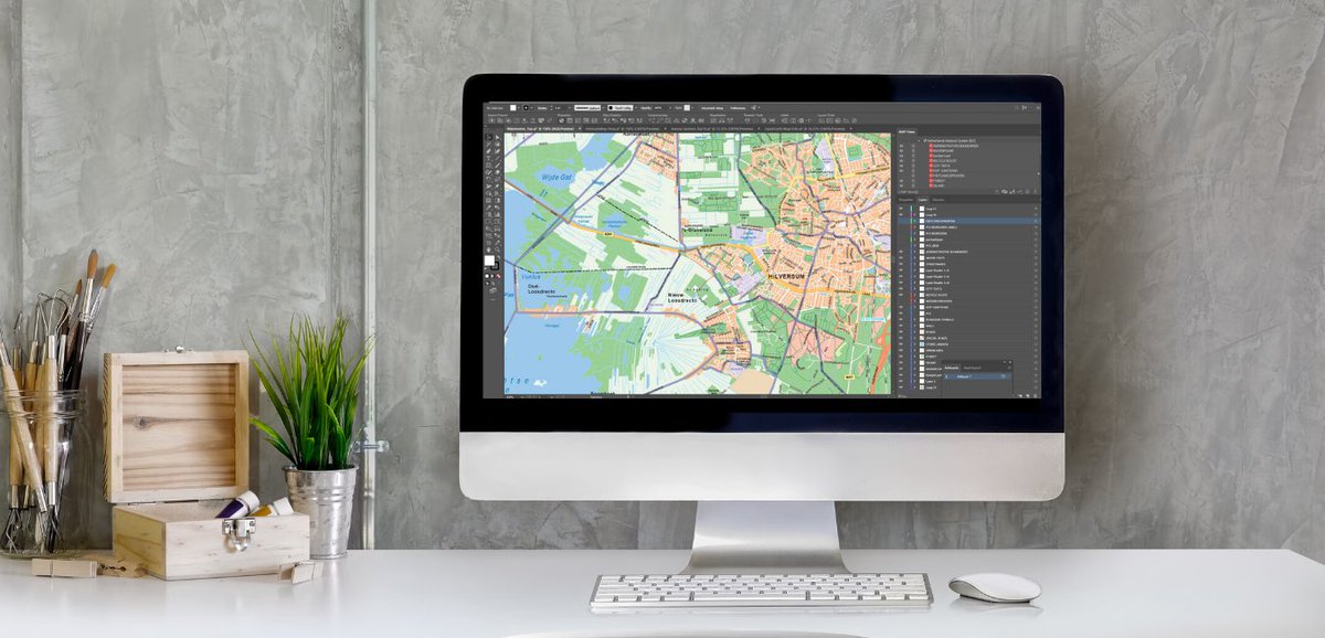
“It’s really transformed how I make static maps: instead of building a base laboriously, I am able to place updated geodata into existing files and either replace data or update it by reference.” - MAPublisher User.

Learn more about MAPublisher: avenza.com/mapublisher/fm…

“It’s really transformed how I make static maps: instead of building a base laboriously, I am able to place updated geodata into existing files and either replace data or update it by reference.” - MAPublisher User.

Learn more about MAPublisher: avenza.com/mapublisher/fm…
account_circle
Maanmittauslaitos(@Maanmittaus) 's Twitter Profile Photo

En sista minuten-påminnelse: Den efterlängtade webbinariehelheten Informationstjänster för kommuner börjar i morgon!

Evenemangets program och länken för anmälan hittar du via länken nedan 👇

maanmittauslaitos.fi/sv/evenemang/i…

account_circle
Scott Meinhardt(@scottmeinhardt) 's Twitter Profile Photo

Geospatial Experiences podcast #6: meet Dave Crawford from Esri's Geodata management team, who discusses his pragmatic approach to ensure Esri responds to customer issues effectively and offers tips to get the most from conversations with users.
ow.ly/c5xW50RgxcS

Geospatial Experiences podcast #6: meet Dave Crawford from Esri's Geodata management team, who discusses his pragmatic approach to ensure Esri responds to customer issues effectively and offers tips to get the most from conversations with users.
ow.ly/c5xW50RgxcS
account_circle
CGI Deutschland(@CGI_DE) 's Twitter Profile Photo

Die digitale Transformation ist in vollem Gange und die Erwartungen an Versicherungen haben sich entscheidend geändert. Wir freuen uns, Ihnen unsere drei IP Lösungen CGI Elements360 Workbench, CGI TI Gateway und CGI GeoData 360 vorzustellen. cgi.com/de/de/event/ve…

Die digitale Transformation ist in vollem Gange und die   Erwartungen an Versicherungen haben sich entscheidend geändert. Wir freuen uns, Ihnen unsere drei IP Lösungen CGI Elements360 Workbench, CGI TI Gateway und CGI GeoData 360 vorzustellen. cgi.com/de/de/event/ve…
account_circle
Towards Data Science(@TDataScience) 's Twitter Profile Photo

If you're new to managing geodata for optimized search in real-world apps, don't miss Vyacheslav Efimov's beginner-friendly primer, which covers the basics of working with quadtrees and geohashes. buff.ly/3wyFZd6

account_circle
Wikimedia Australia(@wm_au) 's Twitter Profile Photo

Coordinate Me 2024 is an International Wikidata Geodata Competition for geodata content. For the month of May, the goal is to improve or create Wikidata items with a coordinate location (P625) property.
wikimedia.org.au/wiki/Coordinat…

account_circle
Geodata Systems(@Geodata_Systems) 's Twitter Profile Photo

Boost your visual storytelling with our ! Learn to create engaging ArcGIS StoryMaps. Ideal for those aiming to inform and engage. Enroll now! geodatasystems.info/gis-training-s…
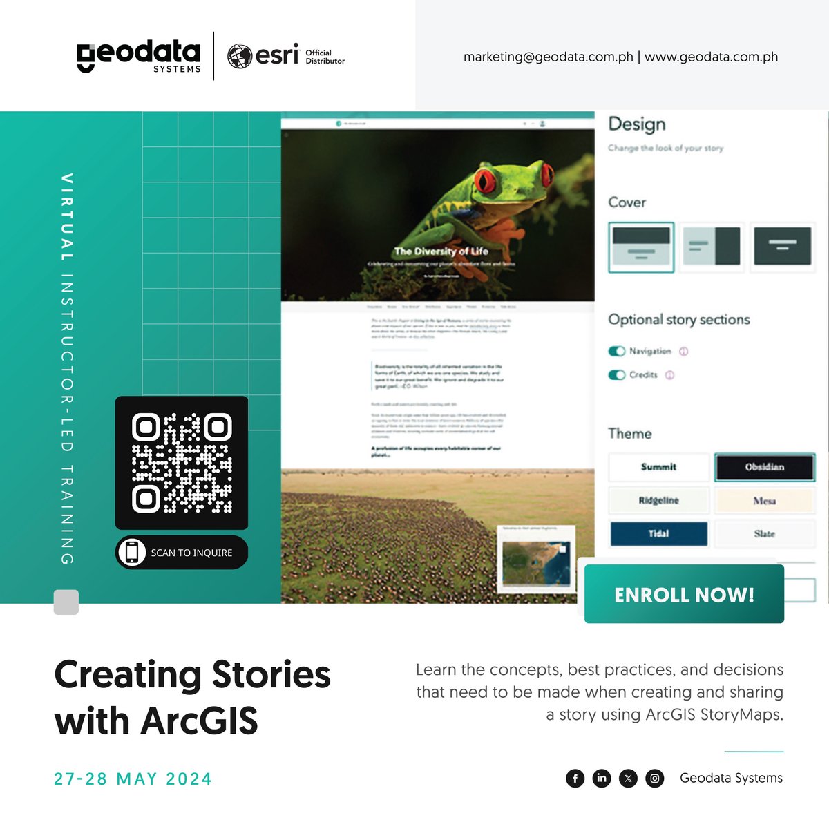
Boost your visual storytelling with our #GISTraining! Learn to create engaging ArcGIS StoryMaps. Ideal for those aiming to inform and engage. Enroll now! geodatasystems.info/gis-training-s…
account_circle
Towards Data Science(@TDataScience) 's Twitter Profile Photo

Learn the best practices for efficient geodata management in real-world applications — Vyacheslav Efimov offers a clear and concise introduction to quadtrees and geohashes. buff.ly/3wyFZd6

account_circle
Esri Italia(@Esriitalia) 's Twitter Profile Photo

🚀In diretta dalla sessione dedicata a “Geodata Analytics e Graph Analysis: ArcGIS Insights e ArcGIS Knowledge”, parliamo di strumenti veloci ed intuitivi di supporto alle decisioni, navigazione e rappresentazione del dato in chiave Geografica. 🌐

🚀In diretta dalla sessione dedicata a “Geodata Analytics e Graph Analysis: ArcGIS Insights e ArcGIS Knowledge”, parliamo di strumenti veloci ed intuitivi di supporto alle decisioni, navigazione e rappresentazione del dato in chiave Geografica. 🌐
account_circle