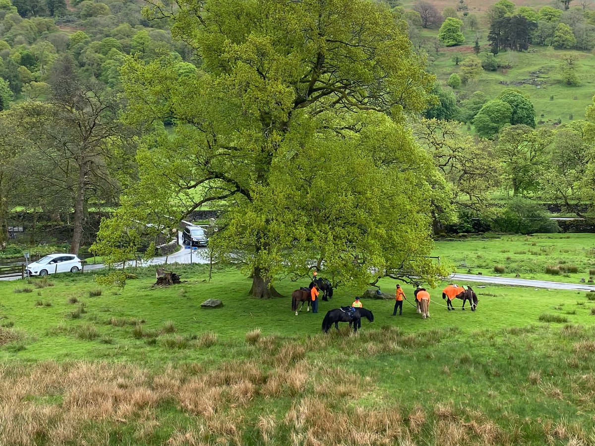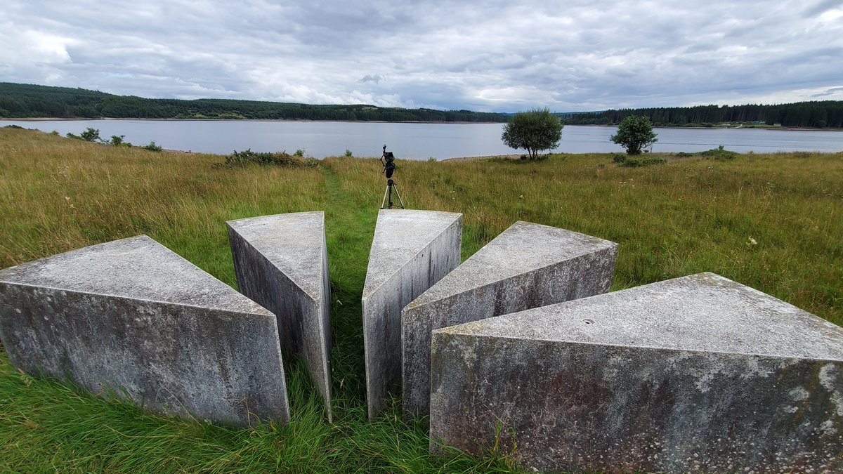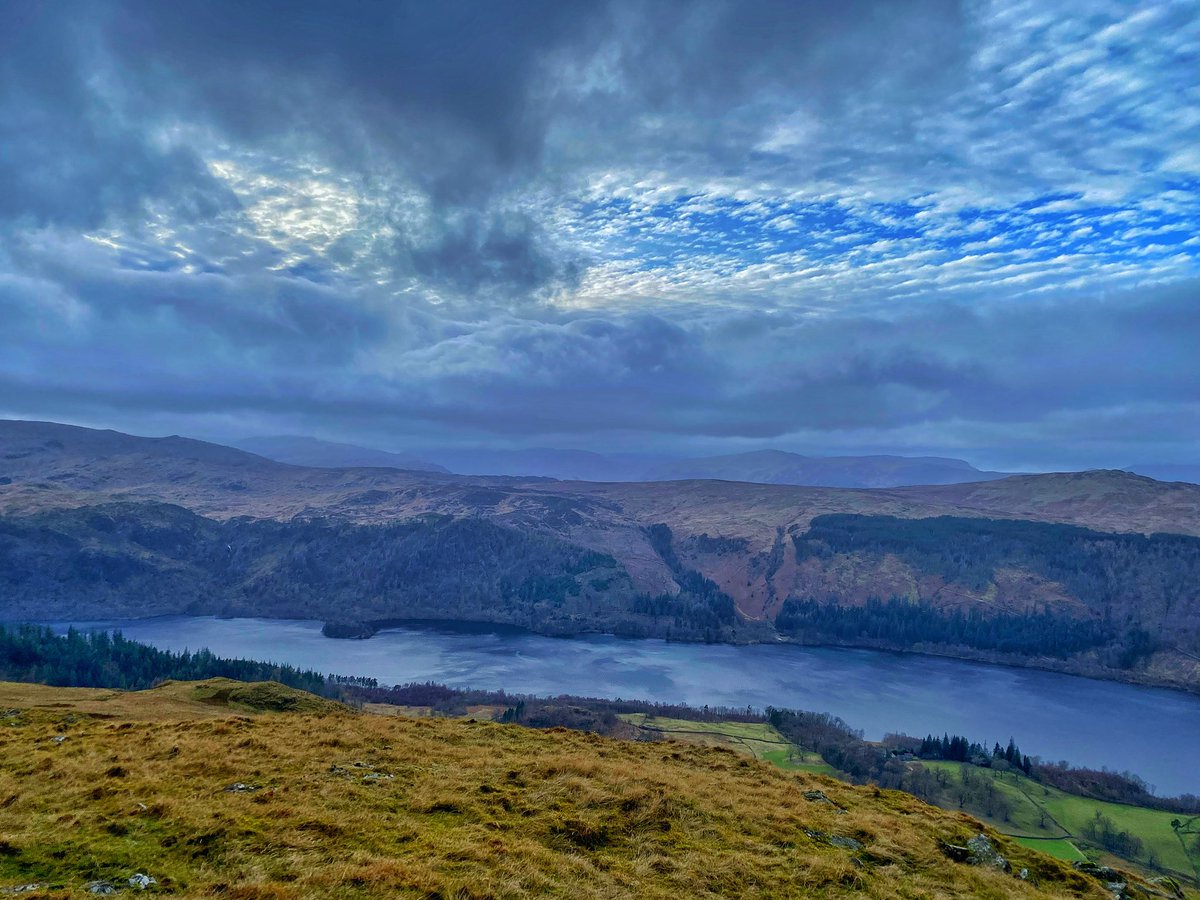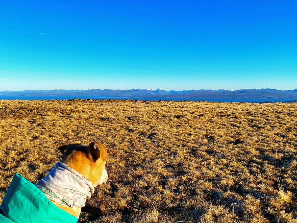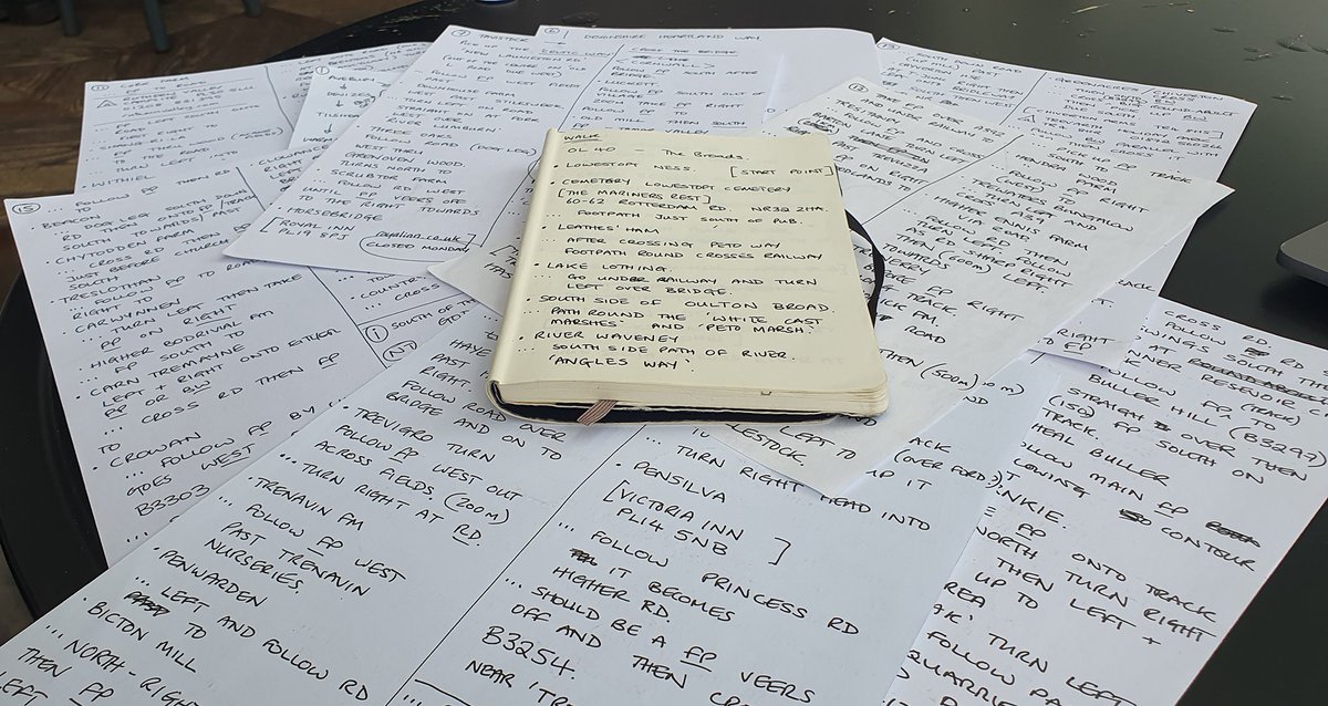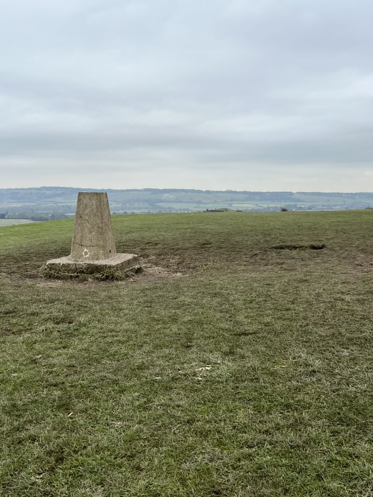
My two walks yesterday. A morning stroll on the #walescoastpath then an evening stroll to some iron age forts and up to Trichrug trig pillar on the #beaconsway #breconbeacons #osmaps #ordnancesurvey
F-35 heading south on the Mach loop. Nice to see paper maps still in use ;-) #photography #avgeek #raflakenheath #aviationphotography .RAF Lakenheath #osmaps


Signs of Spring are everywhere. Why not get out in the #chilterns on a Chiltern Society walk. We have a collection of selected routes at bit.ly/3lgrhSt on Apps ( #osmaps and Visorando) and as downloadable leaflets.

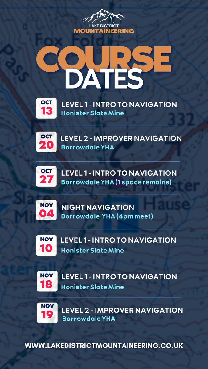
Navigation courses happening all Autumn
#navigate
#outdoorscourses
#outdoorskills
#compass
#osmaps
#lakedistrict
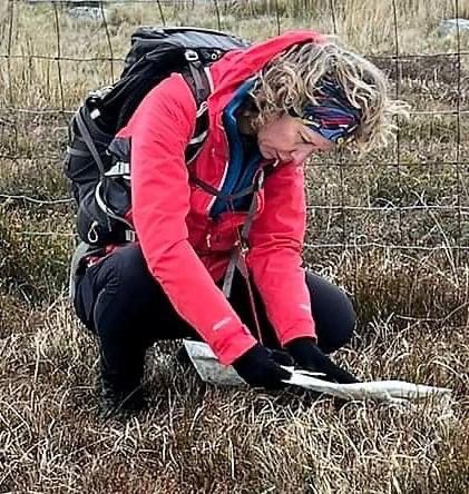
Why bother? Why map read when we have gps and phone apps?
Because map reading is freedom. When there’s no signal, low battery and no tourist path. #nationalmapreadingweek #getoutside #osmaps

I presented a short paper at #GIScience2023 in Leeds on Thursday, about using GPS route traces from users of the Ordnance Survey OSMaps app to generate active travel maps and identify unknown active travel pathways. You can read the paper here: drops.dagstuhl.de/opus/volltexte…
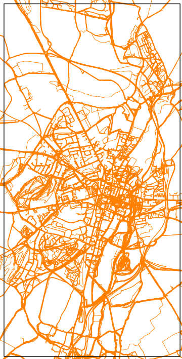



Moody skies and very muddy boots on today’s ramble 🥾around Scout Moor and Cheesden Mills ruins. Nice pampering manicure 💅🏼 afterwards then off out later for a curry and a few gins 🍸. 🙂 pretty decent Saturday. #scoutmoor #cheesdenmill #rossendale #osmaps

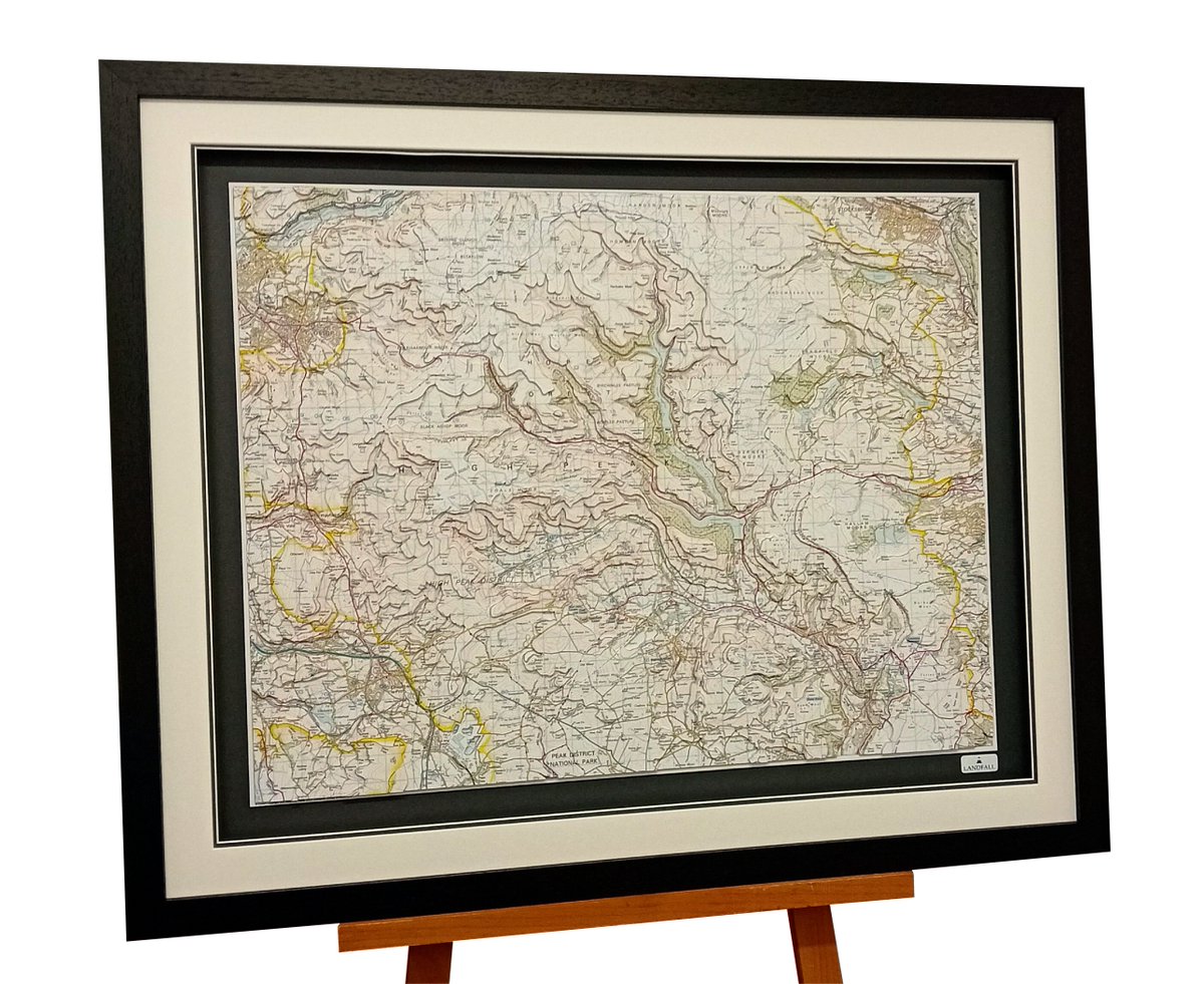
The framed hand cut #topographic model ready for framing next week | 100x80cm | The High Peak, Peak District National Park, #Derbyshire | made from #OSMaps | #gifts #topography #3d #maps #3d map #walking #trekking #holdiays #birthdays #christmas


Making new (miniature) friends in Snowdonia. This cheeky chappie seems to like my new Craghoppers jacket even more than I do! 🐴
#MyCraghoppers #Craghoppers #Adventure #getoutside #osleisure #ordnancesurvey #osmaps #snowdon #mountain #mountain s #snowdon ia


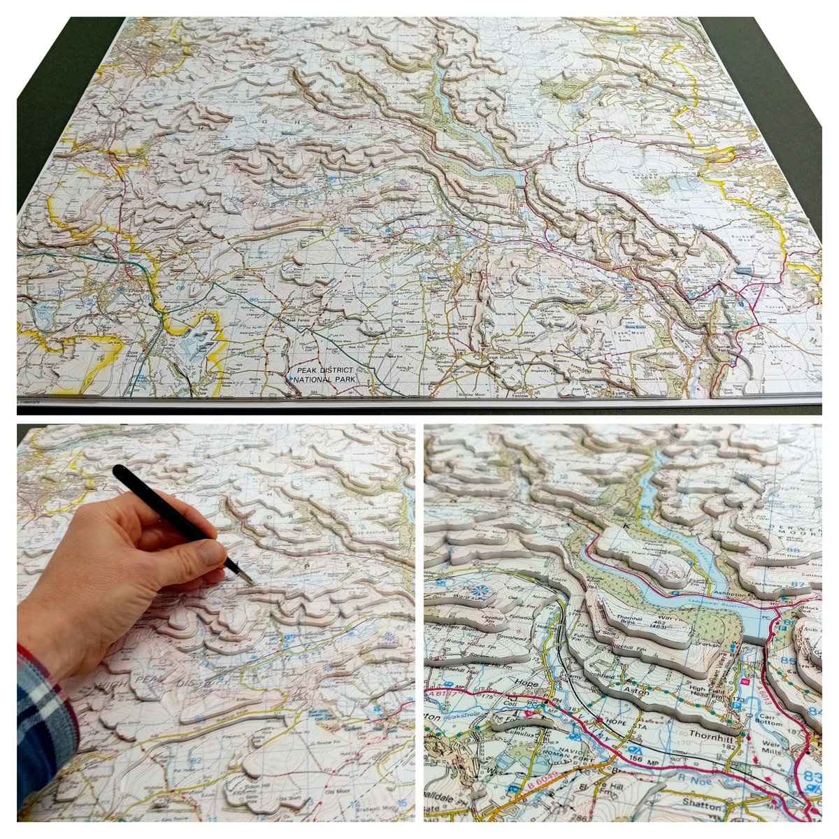
My latest hand cut #topographic model ready for framing next week | 841x594mm | The High Peak, Peak District National Park, #Derbyshire | made from #OSMaps | #gifts #topography #3d #maps #3d map #walking #trekking #holdiays #birthdays #christmas
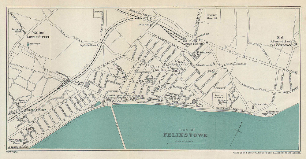
If you're interested in how the #Felixstowe #Walton area has grown take a look at the maps below. The oldest, late 18th century, next 1905 & the coloured map, 1927 #OSMaps #cartography #socialhistory #demographics Suffolk Sound Radio Felixstowe News #felixstowgrowth Felixstowe Museum

Becoming an annual trip to see the Loughrigg Terrace #bluebells even in the drizzle the #LakeDistrict looked stunning Visit Lake District, Cumbria Lake District #horseback #getoutside #OSmaps
