Andréa P Nicolau
@puzzinicolau
Geospatial Scientist @SIG_GIS @ServirAmazonia | @UAHuntsville MS Earth Science | @uff_br BS Env. Eng. | Earth Engine @GoogleDevExpert | Views my own | 🇧🇷
ID:1009504112772354048
https://www.linkedin.com/in/andreanicolau/ 20-06-2018 18:31:50
2,1K Tweets
3,4K Followers
2,7K Following

ICYMI🚨👀➡️ Awesome case study by Andréa P Nicolau testing different cloud detection approaches for composite-based land cover mapping in one of the world’s cloudiest places #EarthEngine #Sentinel2 #maskingmatters 🌫️🌋🌎🛰️

Check out how we have used #CloudScorePlus in Imbabura, #Ecuador .
#EarthEngine SERVIR Amazonia Spatial Informatics Group (SIG) Fundación EcoCiencia

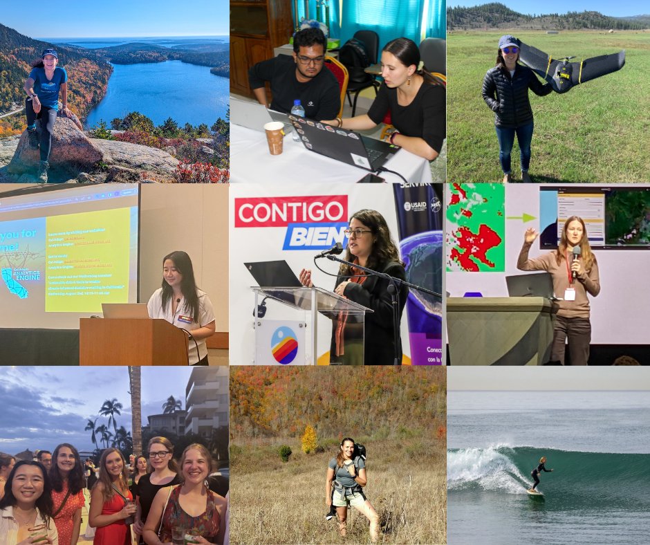
Happy International Women's Day!✨We’re celebrating the incredible contributions of women in STEM & environmental leadership. From project management to cutting-edge research, thanks to all the women of SIG for all your hard work!🌎🚀 #InternationalWomensDay #WomenInSTEM

🔥Hot off the Press🔥
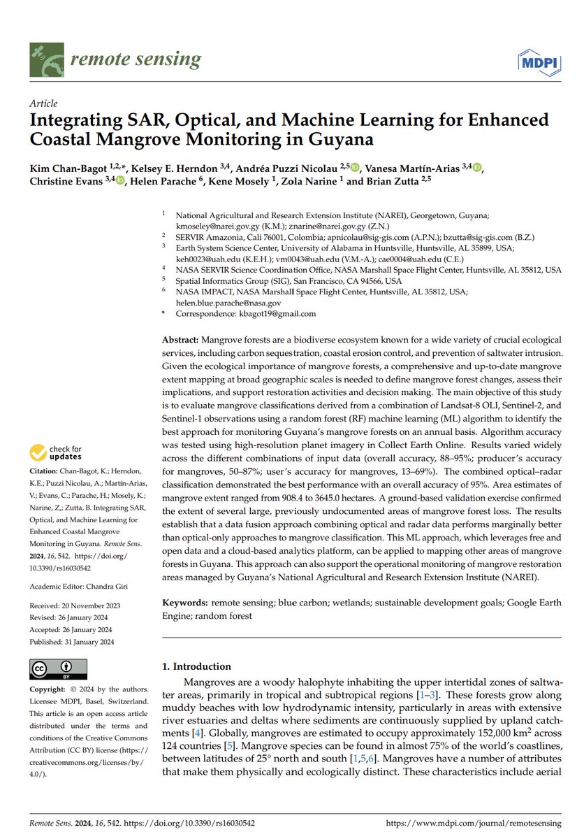
#Guyana 's #mangroves are an important part of maintaining coastal resilience and biodiversity. Check out a new pub led by #NAREI , w/ SERVIR Amazonia, UAH Lab for Applied Science, & others on using 🛰️and ☁️ computing to monitor this essential ecosystem: bit.ly/laspub12

Very grateful to excellent collaborators Alliance of Bioversity International and CIAT, Imaflora, University of Salford, USAID/Brazil, and coauthors including, Andréa P Nicolau, Wendy Francesconi🌴 🦋🐞🐝, Amy, Dawn Nekorchuk, PhD, MSPH, Bernardo Caldas, Teal Richards-Dimitrie, Allan McDevitt, David Saah & more, plus support from #SERVIRAmazonia !

fui ao Baixo Tapajós conferir o estrago causado por mais uma temporada de megaincêndios na Amazônia turbinados pela crise climática e pelo El Niño, guiado por Erika Berenguer e Joice Ferreira, da Rede Amazônia Sustentável. o relato está na revista piauí de fevereiro piaui.folha.uol.com.br/megaincendios-…

Fresh-of-the-press SERVIR Amazonia publication co-authored by SIG’s Andréa P Nicolau and Brian Zutta. This paper provides the first comparison of mangrove extent mapping approaches in Guyana using remotely sensed data. mdpi.com/2072-4292/16/3… 🌳🌿🛰️ #remotesensing

🌎 Junte-se à Brigada de Mapeamento Humanitário do Hub LAC da #OpenStreetMap !
🔎 30 pessoas especializadas em mapeamento para emergências
🚀 Participe de uma rede única na América Latina e no Caribe. Acesse recursos e treinamento!
📅 Até 31/Jan. Info ➡️ bit.ly/BMH-pt


Realizamos el lanzamiento del aplicativo para monitoreo de erosión laminar en la Amazonía 🇪🇨
El trabajo asociativo 🤝 entre USAID, SERVIR Amazonia y Fundación EcoCiencia nos permite contribuir al cuidado del medio ambiente, mediante el control de la erosión en suelo.
#ElNuevoEcuador 🇪🇨


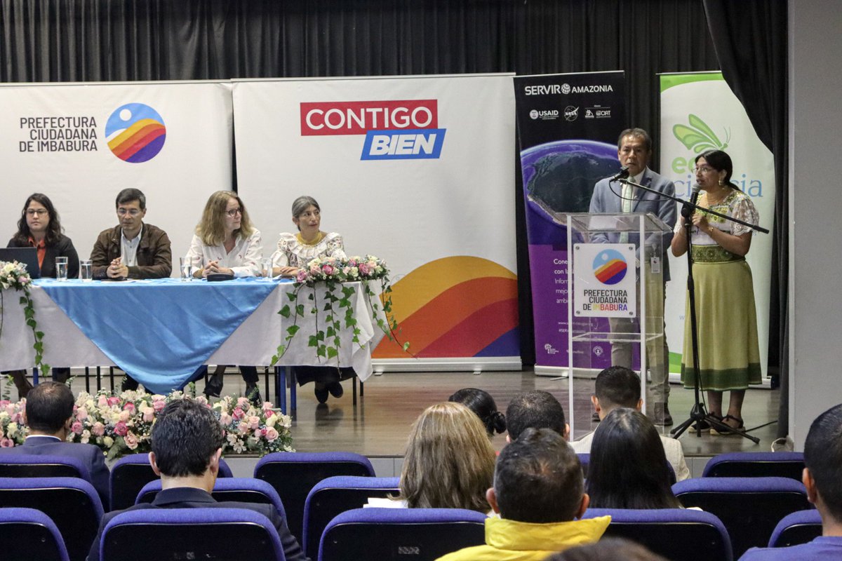
SIG's Andréa Nicolau presented the methodology applied to map LULC in Imbabura, #Ecuador during the launch of this SERVIR Amazonia service which uses Google Earth's Cloud Score+. The Governor and Vice-Governor attended and applauded the tool for its future usefulness💡

🔴🇪🇨 Fundación EcoCiencia #SERVIRAmazonia Program’s local partner in #Ecuador and Spatial Informatics Group (SIG) along with Prefectura Ciudadana de Imbabura have co-developed a methodology that will contribute to land #covermapping . A freely accessible web platform, producing the first land cover map with a 10-meter res. 🙌🏼
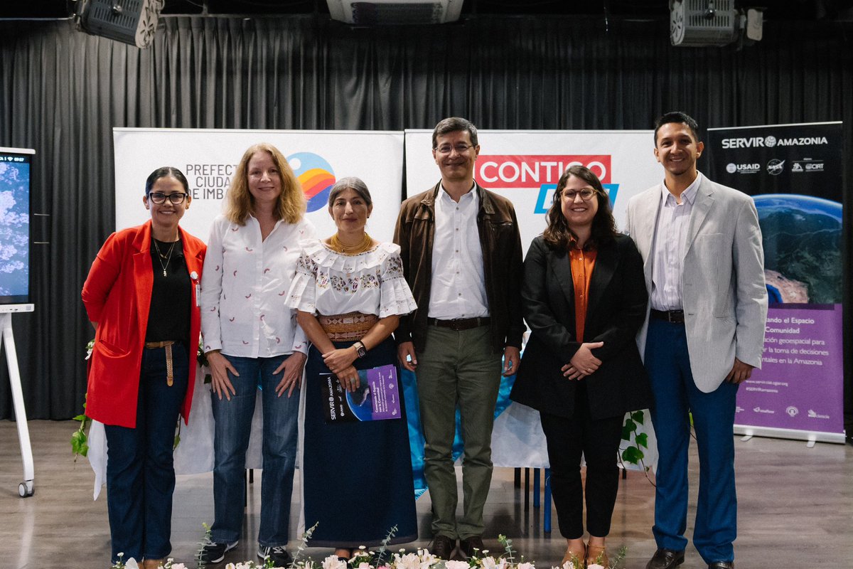

Prefectura Ciudadana de Imbabura y Fundación EcoCiencia realizaron el lanzamiento del sistema de mapeo de coberturas integrando datos de radar y ópticos.


La colaboración se realizó en el marco del Programa SERVIR Amazonia, parte de SERVIR Global, una iniciativa de desarrollo conjunto entre la Administración Nacional de Aeronáutica NASA y la Agencia de los Estados Unidos para el Desarrollo Internacional USAID.


Thanks to Ben Zaitchik & Prakrut Kansara Johns Hopkins Arts & Sciences for this new article on 'Managing #fire risk in the #Amazon ahead of an #ElNino ' & our work with Cemaden servirglobal.net/news/managing-… SERVIR Amazonia @USAIDBrazil


Co-written by SIG’s David Saah and Andrea P. Nicolau, this new paper evaluates the performance of different software packages in generating Radiometric Terrain Correction (RTC) products from Sentinel-1 SAR data and the success of #opensource solutions. mdpi.com/2072-4292/15/2…

