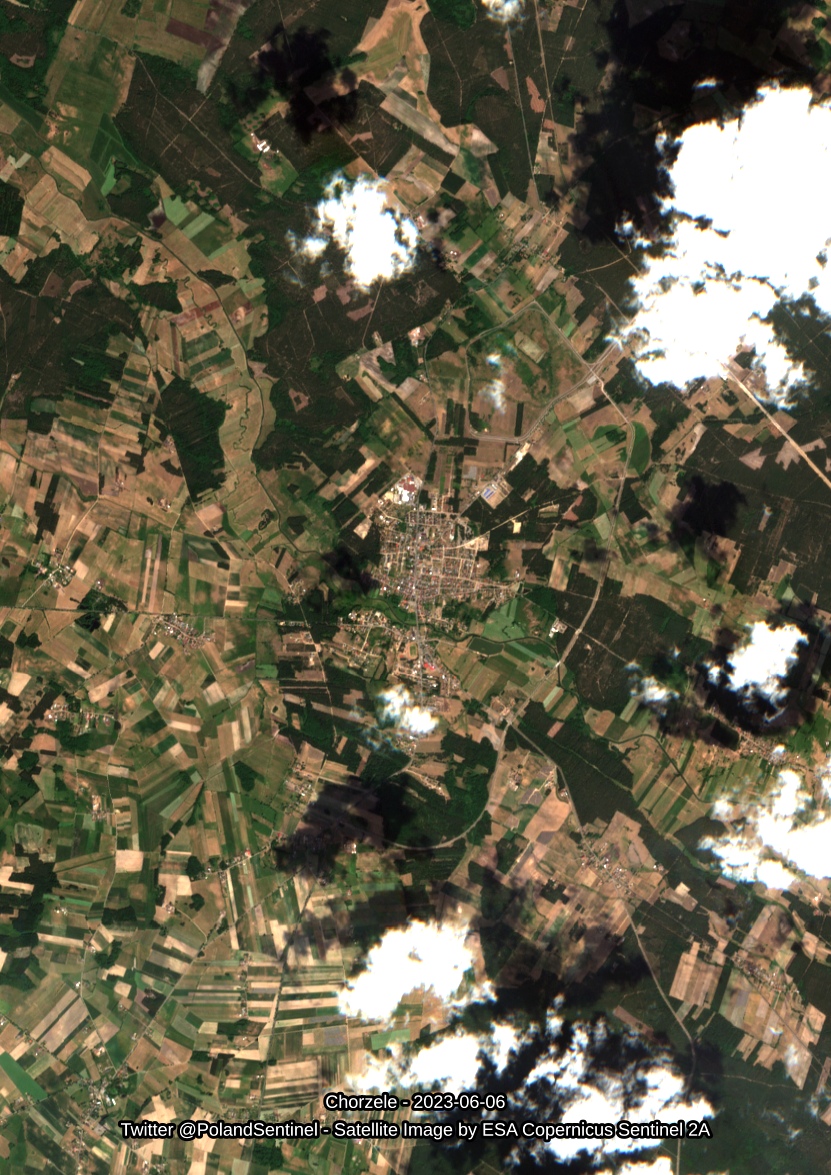
Chorzele - 2023-06-06 - Satellite Image by ESA Sentinel 2A - #Poland #SatelliteImagery #Copernicus #Sentinel2

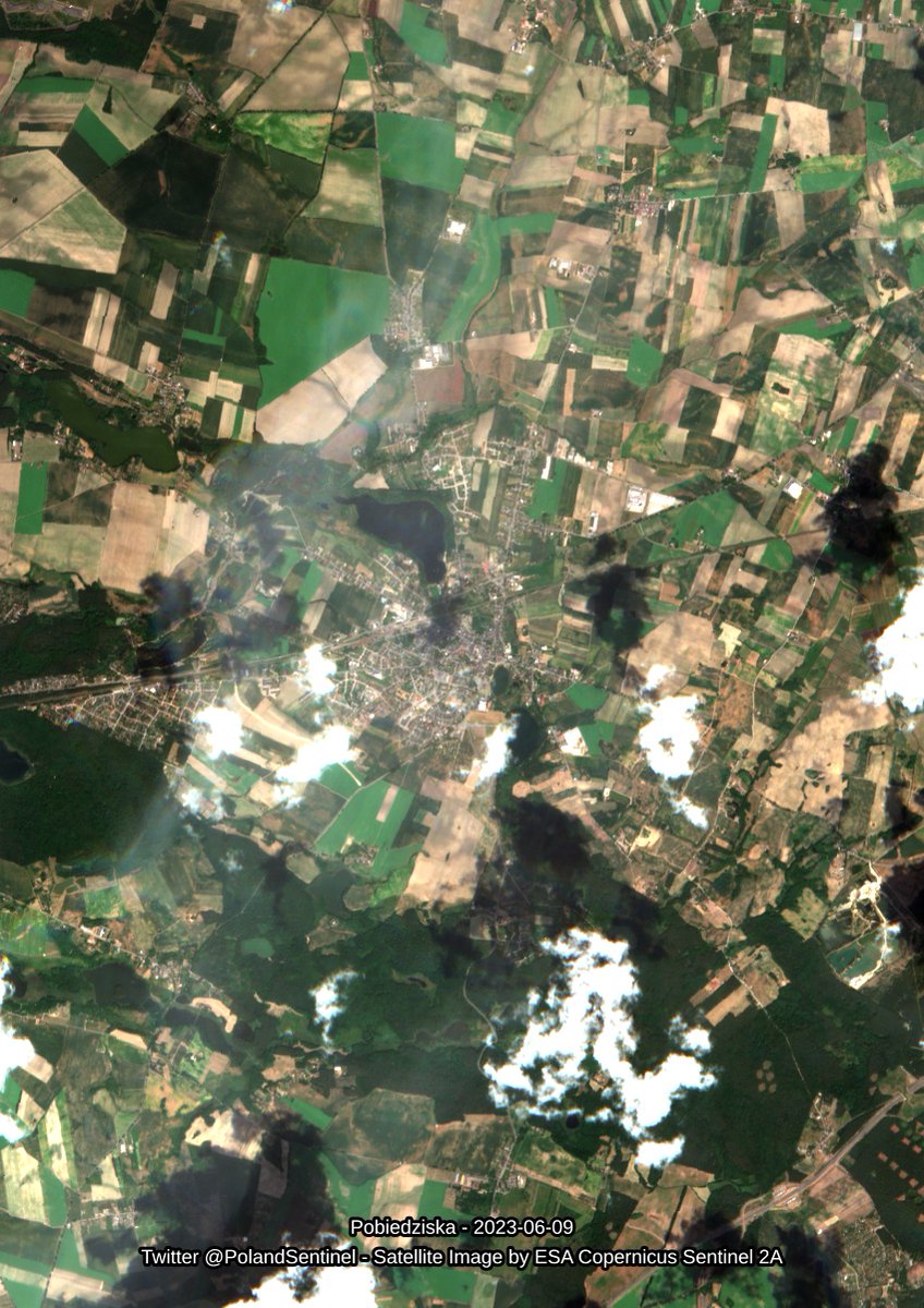
Pobiedziska - 2023-06-09 - Satellite Image by ESA Sentinel 2A - #Poland #SatelliteImagery #Copernicus #Sentinel2

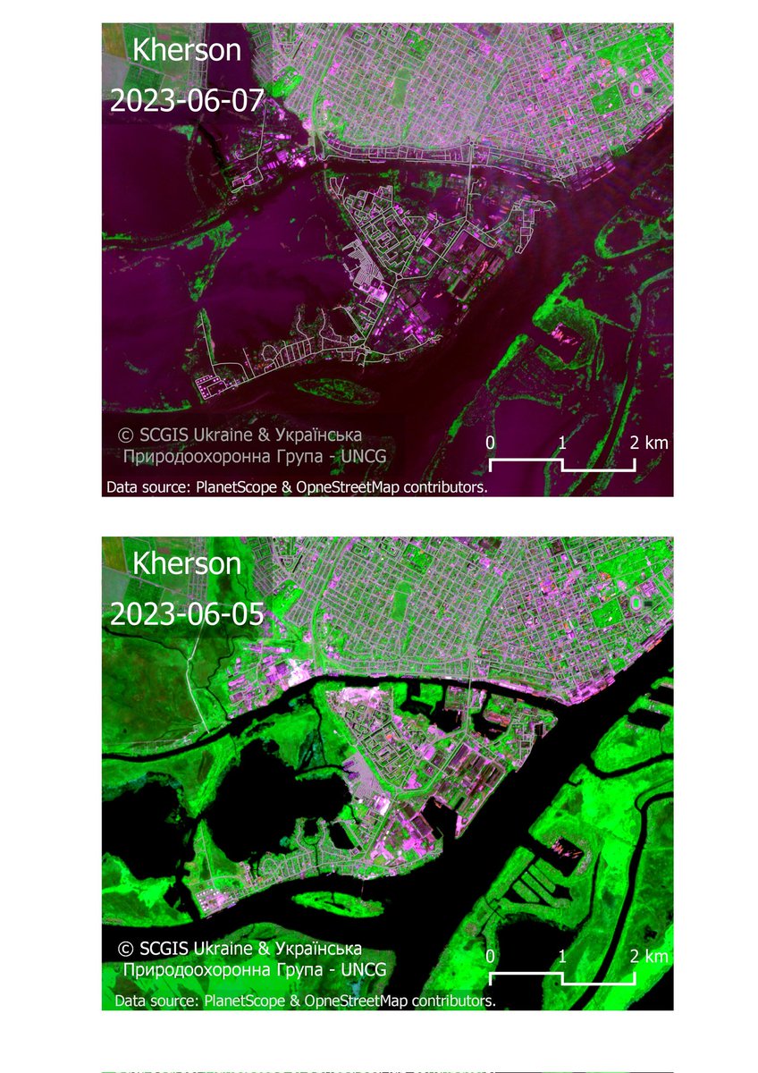
The flooded part of #Kherson , #Ukraine
#Satelliteimagery of the #PlanetScope . Bands Combination: Red NIR Green.
Lines are roads from #OpenStreetMap
Made for: Ukrainian nature conservation group (UNCG | Українська природоохоронна група )& SCGIS Ukraine
#disaster #mapping #qgis Planet #scgis #satellite

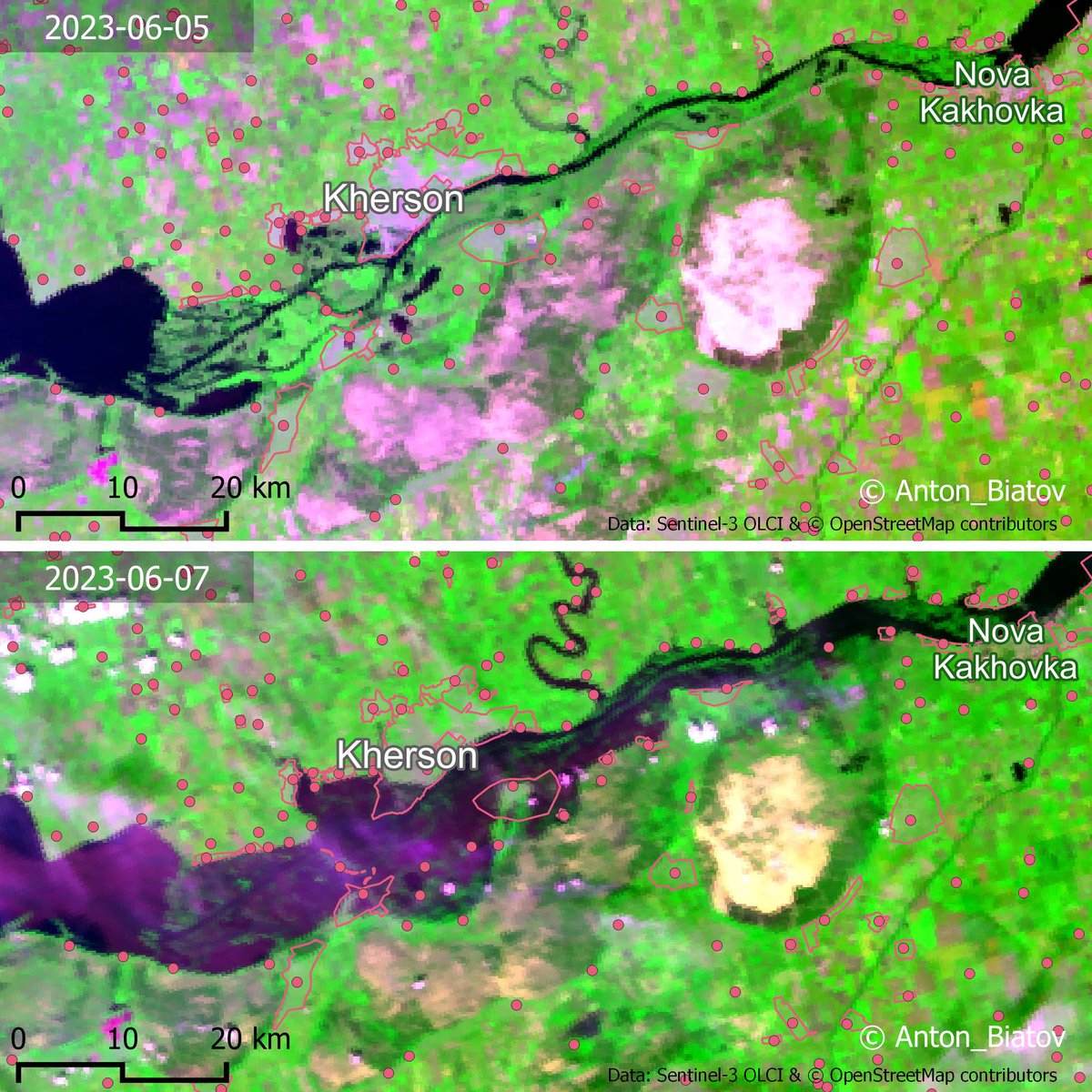
Kherson flooded area, Ukraine
#catastrophe #disaster
Data #Sentinel3 #EuropeanSpaceAgency #Copernicus
& #openstreetmap
#QGIS #dataviz #sentinel #flood #digitalmap #gis #satelliteimagery #mapping #easteurope #nature #cartography
#gis naturalist

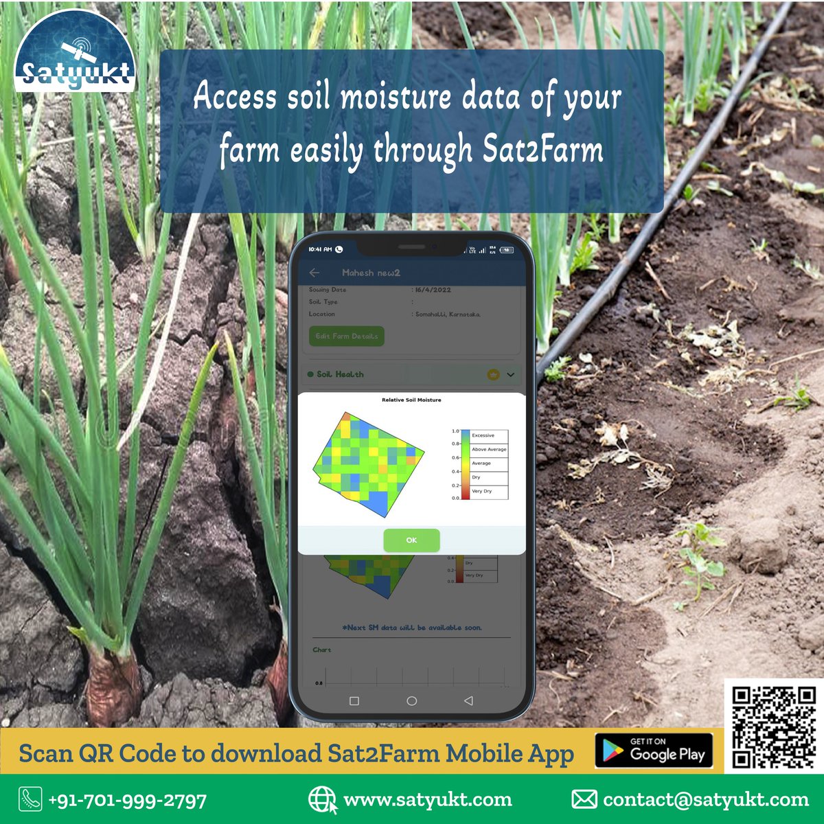
One of the key elements that affect crop growth is #soilmoisture . lnkd.in/gha2tk-y
#agriculture #agritech #agribusiness #satelliteimagery #remotesensing #sustainableagriculture #soilmoisture #soilnourishment # #modernagriculture #savesoil #precisionfarming #pestandisease

We were able to design a product called #Sat2Credit with the help of #satellite #remotesensing .
#agritech #agribusiness #agriculture #agriculture life #precisionfarming #satellite imagery #remotesensing #farming #sustainableagriculture #modernfarming #creditcompanies #creditscore

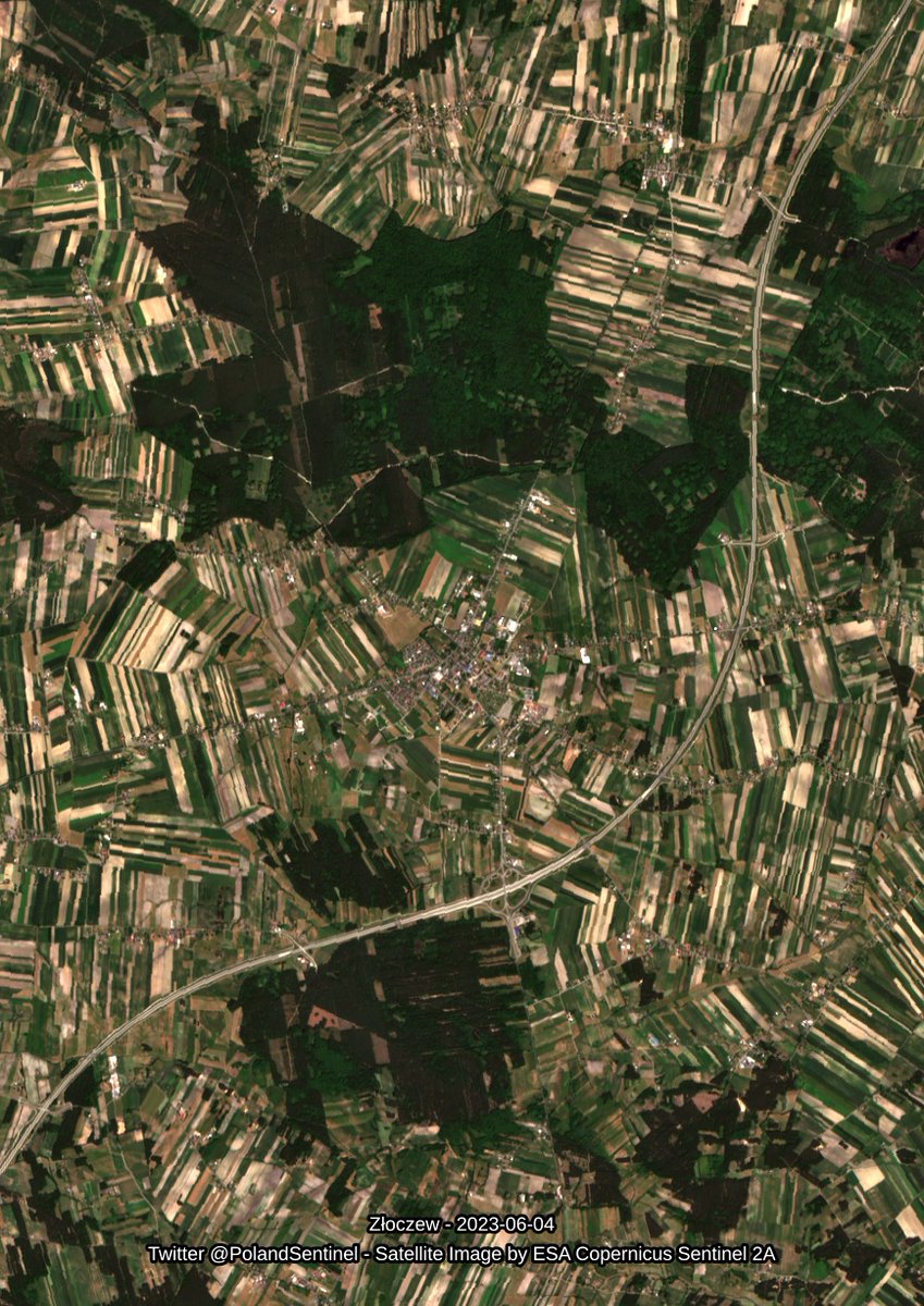
Złoczew - 2023-06-04 - Satellite Image by ESA Sentinel 2A - #Poland #SatelliteImagery #Copernicus #Sentinel2

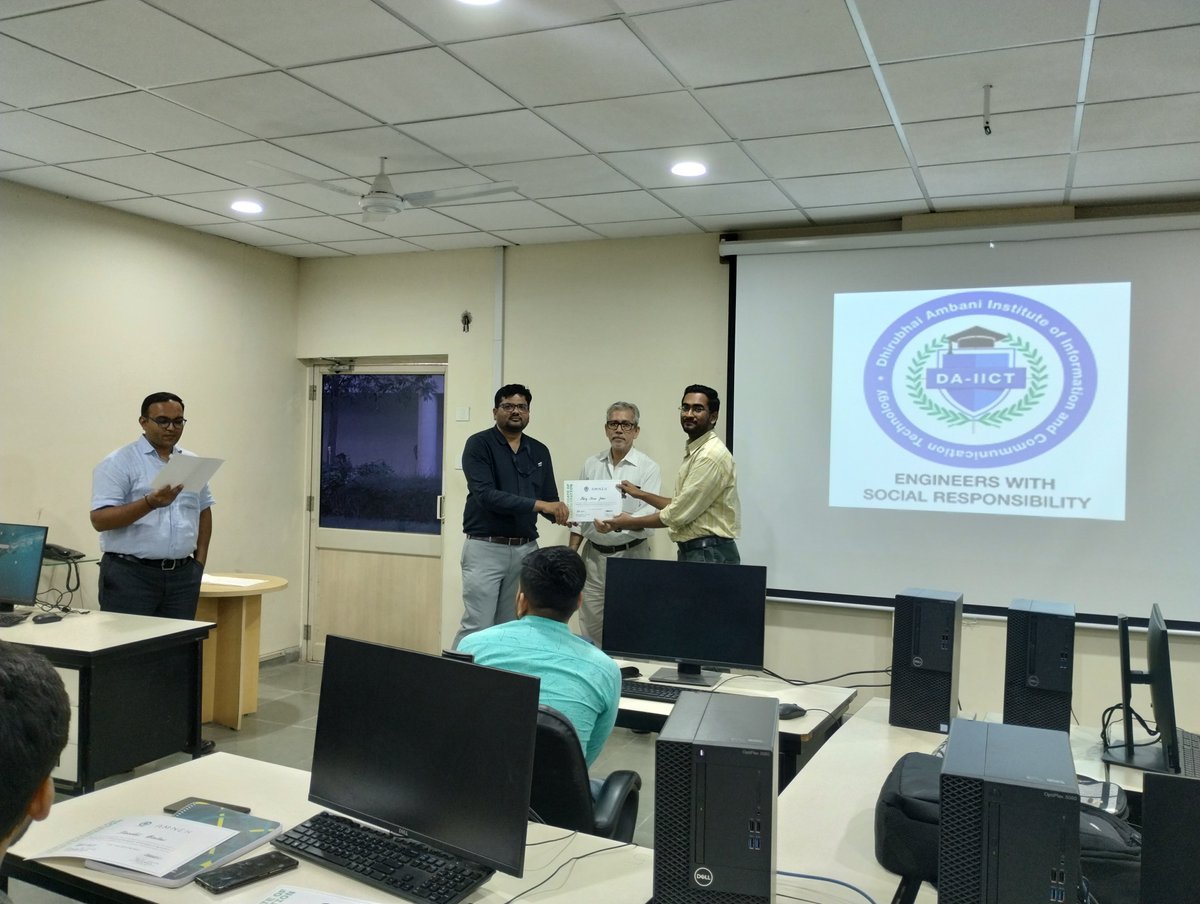
Students of #MSc Agriculture Analytics at #DAIICT received certificates of participation on Friday after attending a value added course in collaboration with Amnex.
#agricultureanalytics #agritech #agritech nology #deeplearning #deeptech #algorithms #cropyield #satelliteimagery

Leżajsk - 2023-06-05 - Satellite Image by ESA Sentinel 2A - #Poland #SatelliteImagery #Copernicus #Sentinel2


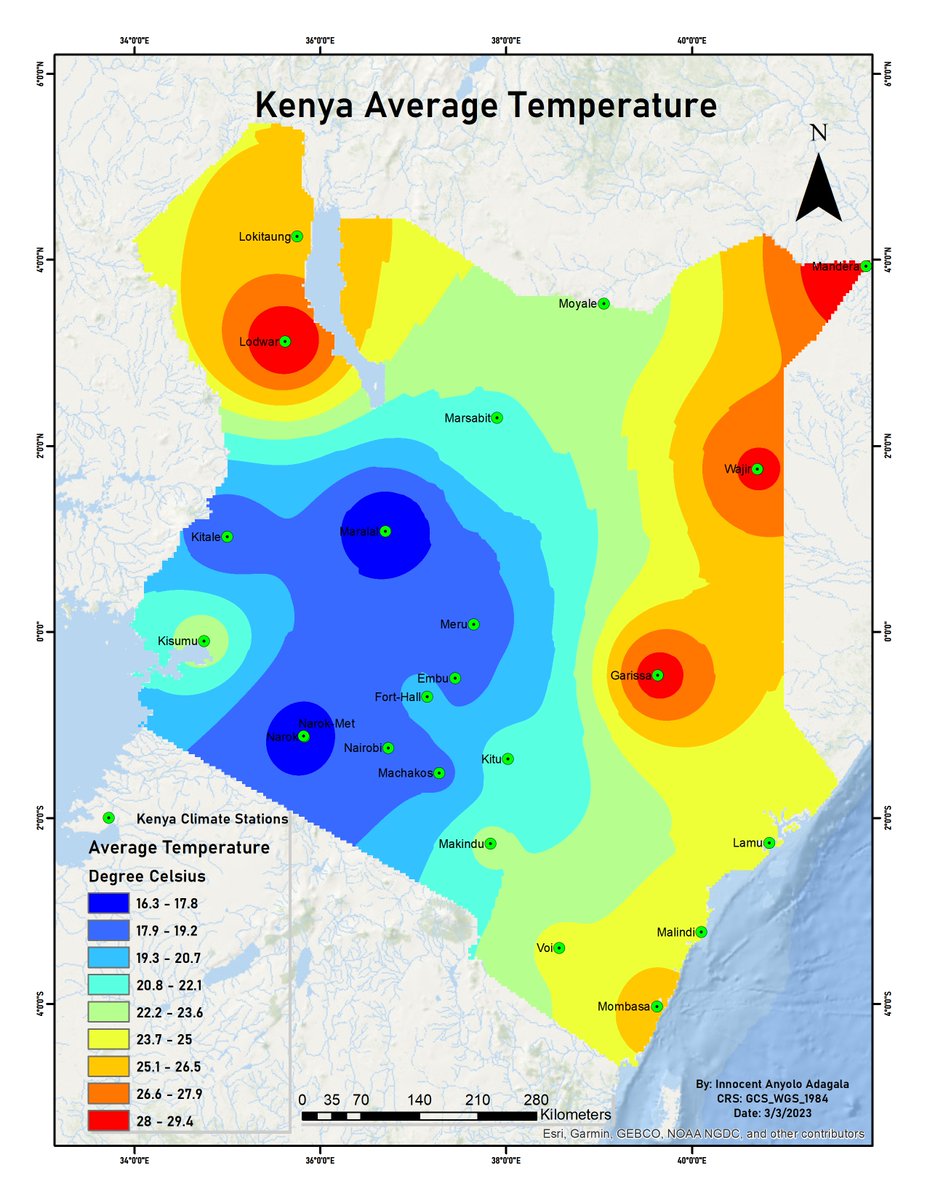
Images obtained by satellites orbiting the earth make them valuable sources for climate data. By using GIS software, one can extract climate data, and map out such data averages over time. Here’s how to go about it:
#SatelliteImagery #GIS #Interpolation #SpatialAnalysis

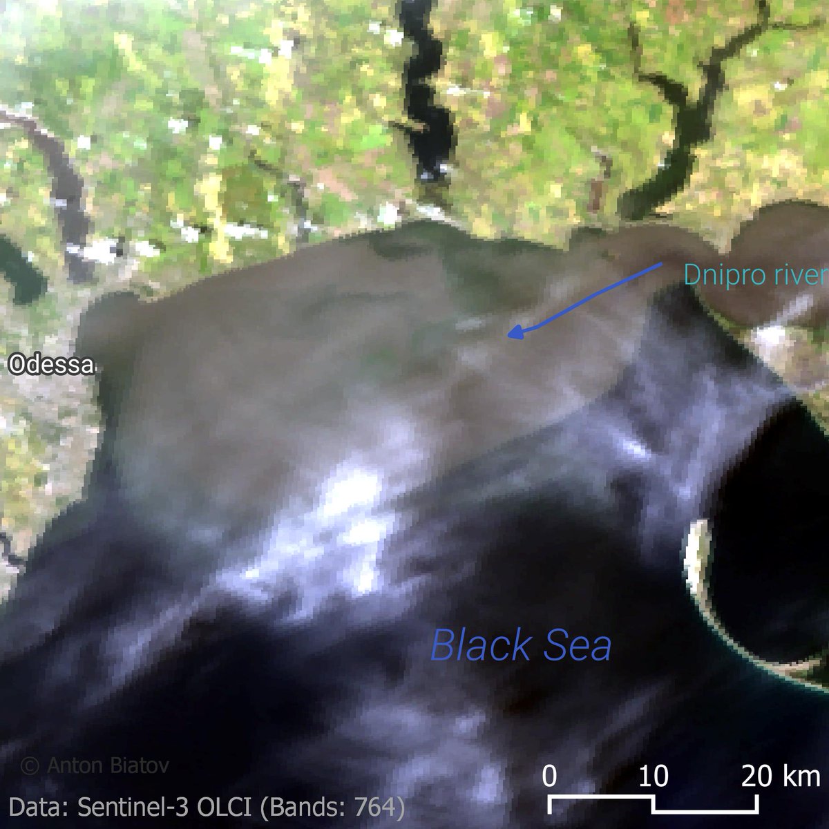
The #pollution of the #BlackSea 2023-06-09 as a result of an explosion of dam at the Kakhovka power station. Polluted water reached the coast of Odessa.
#Satelliteimagery of the #Sentinel -3
#seapollution #disaster #qgis #scgis #satellite #FloodWatch #gis #map #remotesensing


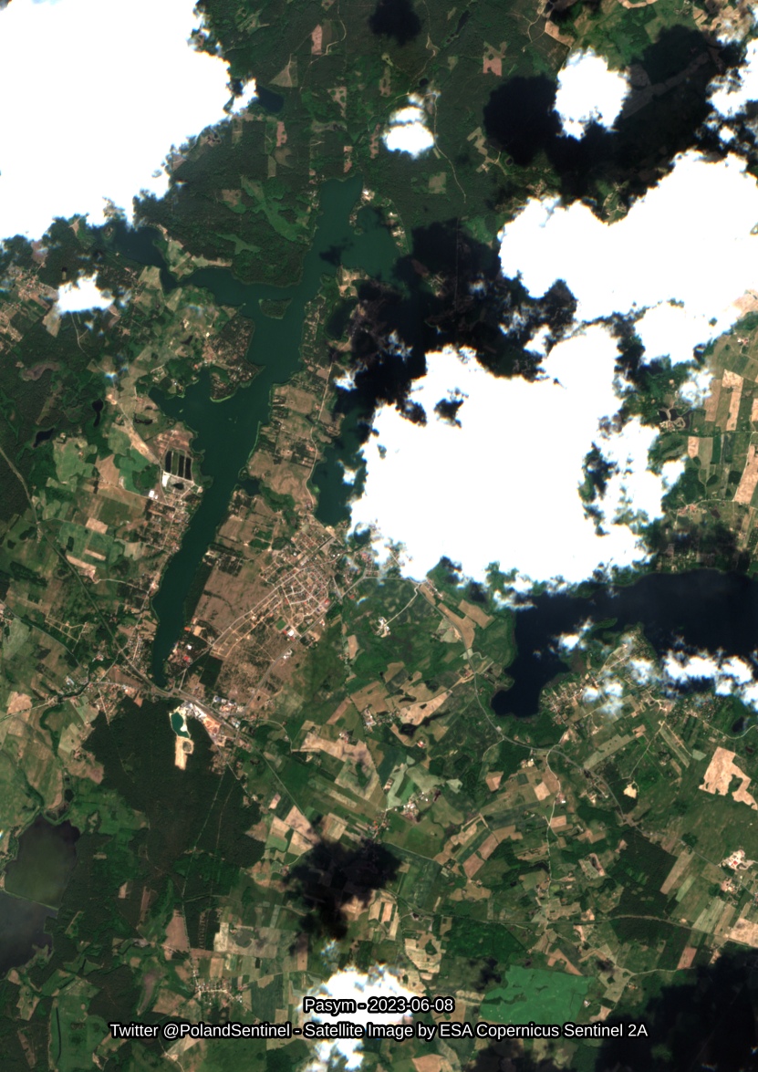
Pasym - 2023-06-08 - Satellite Image by ESA Sentinel 2A - #Poland #SatelliteImagery #Copernicus #Sentinel2

🔬 #Bitdepth is a fundamental concept in digital imaging. Its meaning and relevance is a common point of confusion for life scientists who use #microscopes .
We break down in this latest blog post what is bit depth in #microscopy 👇
bliqphotonics.com/what-is-bit-de…


You may track the development of your farm's #crops with #NDVI .
#agriculture #agritech #agribusiness #satelliteimagery #remotesensing #sustainableagriculture #soilmoisture #soilnourishment # #modernagriculture #savesoil #precisionfarming #irrigationmanagement #cropproductivity

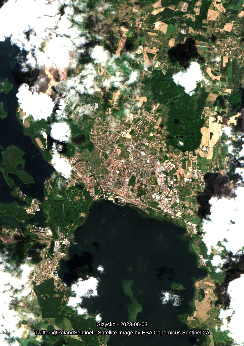
Giżycko - 2023-06-03 - Satellite Image by ESA Sentinel 2A - #Poland #SatelliteImagery #Copernicus #Sentinel2

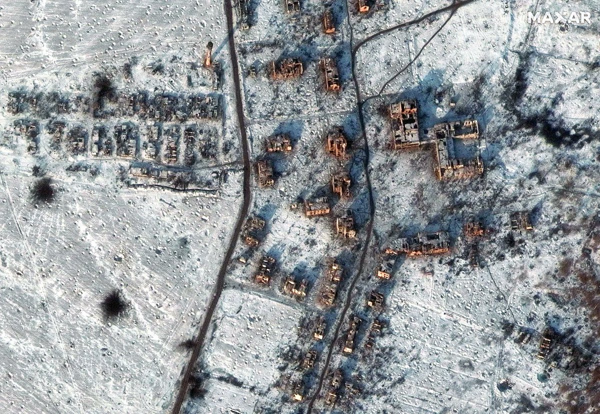
🛰 🌳Leveraging the power of #satelliteimagery and #CloudComputing to monitor tropical #deforestation is the ambition behind the Nusantara Atlas project.
👨💻 We are thrilled to collaborate with the TheTreeMap to increase the robustness, and #scalability of this powerful app.

Iran's Natural Splendor: Timeless Beauty Amidst Diversity(Satellite Imagery green surface 2000-2023)
#Iran #Earth #environment #SatelliteImagery #ایران

#NATO faces hurdles in acquiring commercial #satellite #imagery - buff.ly/435hr6E #satellite imagery #military

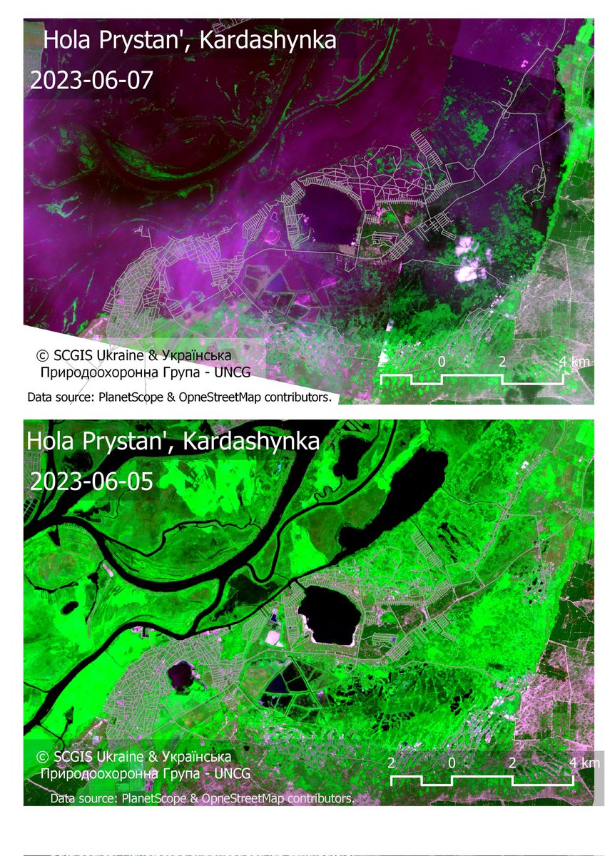
Villages Hola Prystan' and Kardashynka in Kherson region of Ukraine are flooded.
Data: #PlanetScope and #openstreetmap
Bands combination: RED NIR GREEN
I made it map for UNCG | Українська природоохоронна група and #SCGIS Ukraine
#satellite #satellite imagery #remotesensing #qgis #disaster #hotosm

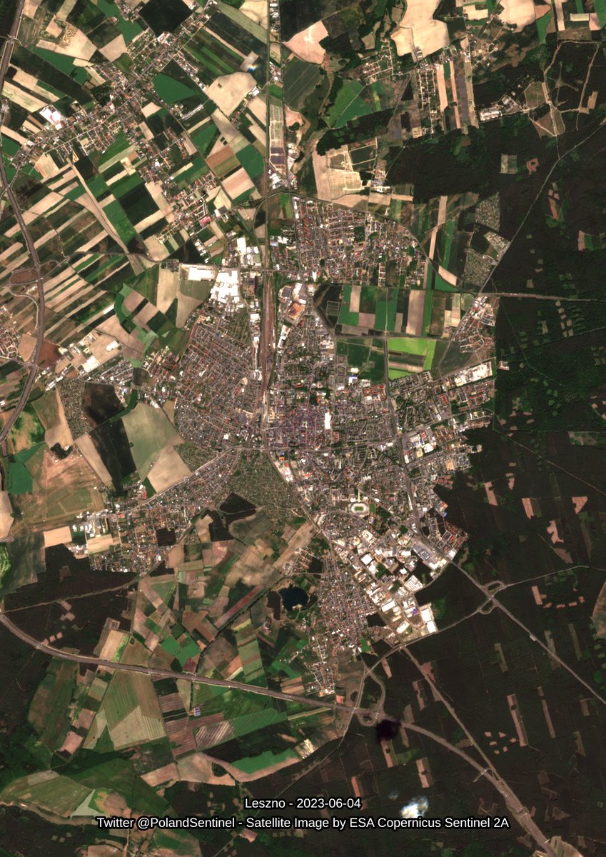
Leszno - 2023-06-04 - Satellite Image by ESA Sentinel 2A - #Poland #SatelliteImagery #Copernicus #Sentinel2
