Exploring the Power of GIS 🌍🔍
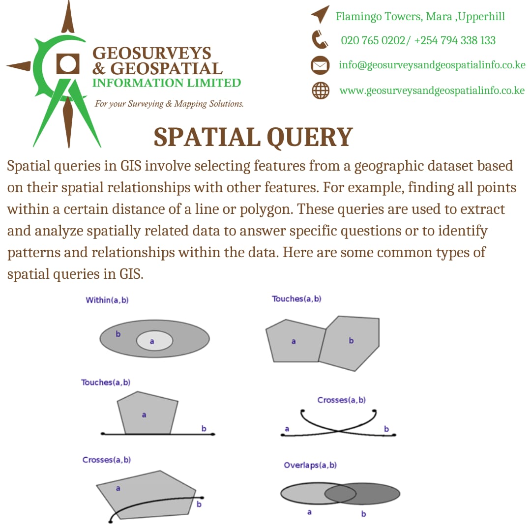
🗺️ GIS, or Geographic Information System, is a game-changer in understanding our world. With GIS, we can capture, analyze, and visualize spatial data. 🌐 Stay tuned for more educational content! ✨
#GIS #SpatialData #scienceandtechnology
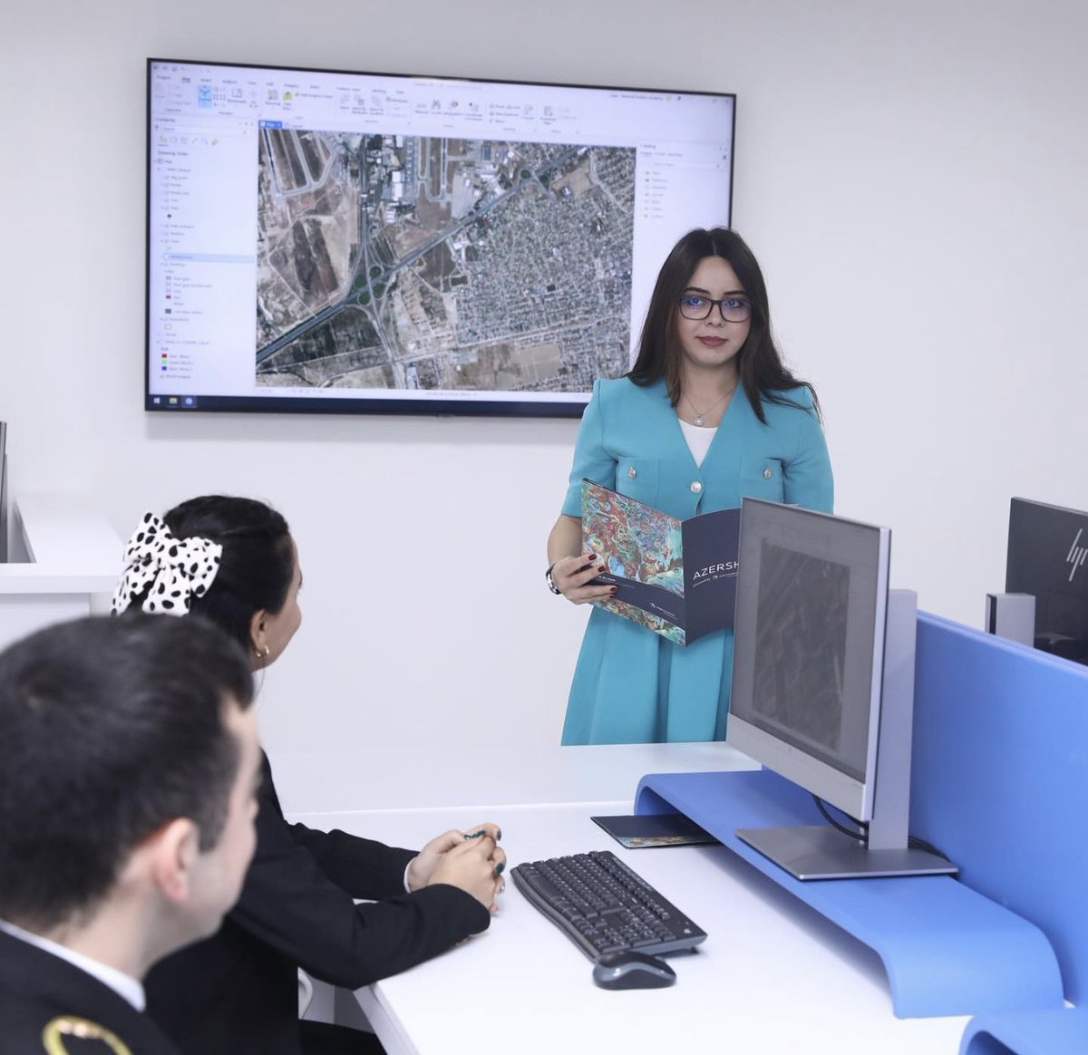

#Alteryx 's no-code tools effortlessly streamline #spatialanalysis , enabling all #data users to leverage location #intelligence . Learn how Alteryx simplifies blending #spatialdata with your existing information through a detailed 6-step #guide . Read more: lnkd.in/g4hw-6BX


Just had a fantastic reminder of the power of #ArcGIS Survey123!. This tool is a game-changer for creating survey forms and collecting valuable spatial data.📈 Love how it streamlines data collection, integrates with GIS, and enhances decision-making.🚀 #SpatialData #Surveying
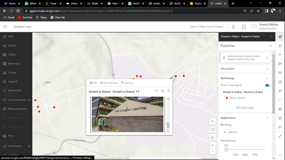


For Day 17 of the #30DayMapChallenge - #Flows
Assesing the performance of London's underground network based on the flow of people passing through the network using two different centrality measures - Betweenness and Closeness!
#spatialdata #datascience #python #urbansimulation
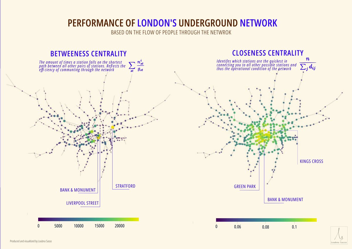

Coğrafi Bilgi Sistemleri, coğrafi veya mekansal verileri yakalamak, depolamak, analiz etmek ve görüntülemek için kullanılan güçlü bilgisayar tabanlı teknolojierdir.
#gis #geographicinformationsystems #spatialdata #satelliteimages #aerialphotographs #maps


Spatialnode Monday Tips
It's a new week! Let's think spatially this week!
#geospatial #mondaymotivation #spatialdata

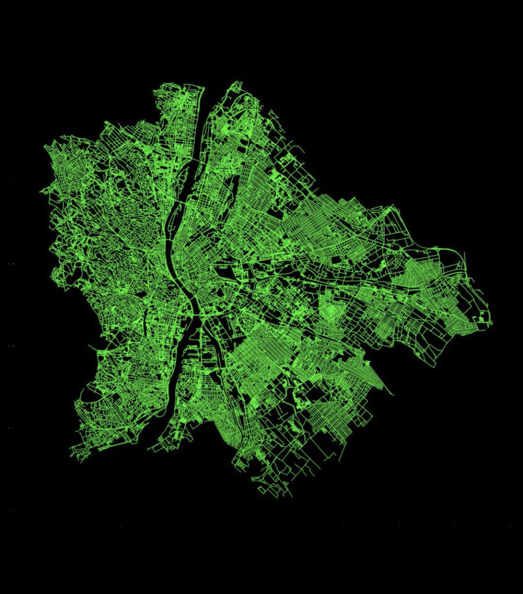
urban networks The road network of Budapest using a few lines of Python and the packages #osmnx #geopandas , and #matplotlib . Simple and beautiful.
By milan_janosov
#gis chat
#datascience #datavisualization #gis #geospatialdata #spatialdata #map #networkscience

From GIS Lounge: What is a Polynya?
bit.ly/3JKyfYH
#GeographicInformationSystems #LocationIntelligence #GeospatialData #Mapping #GISAnalysis #SpatialData #GISMap ping #GeospatialTechnology #GISConsulting #GISSoftware #GISServices #GISApplications #GISData #GISMap ...

From GIS Lounge: What is an Ice Arch?
bit.ly/4a4YLXl
#GeographicInformationSystems #LocationIntelligence #GeospatialData #Mapping #GISAnalysis #SpatialData #GISM apping #GeospatialTechnology #GISConsulting #GISSoftware #GISServices #GISApplications #GISData #GISM ...

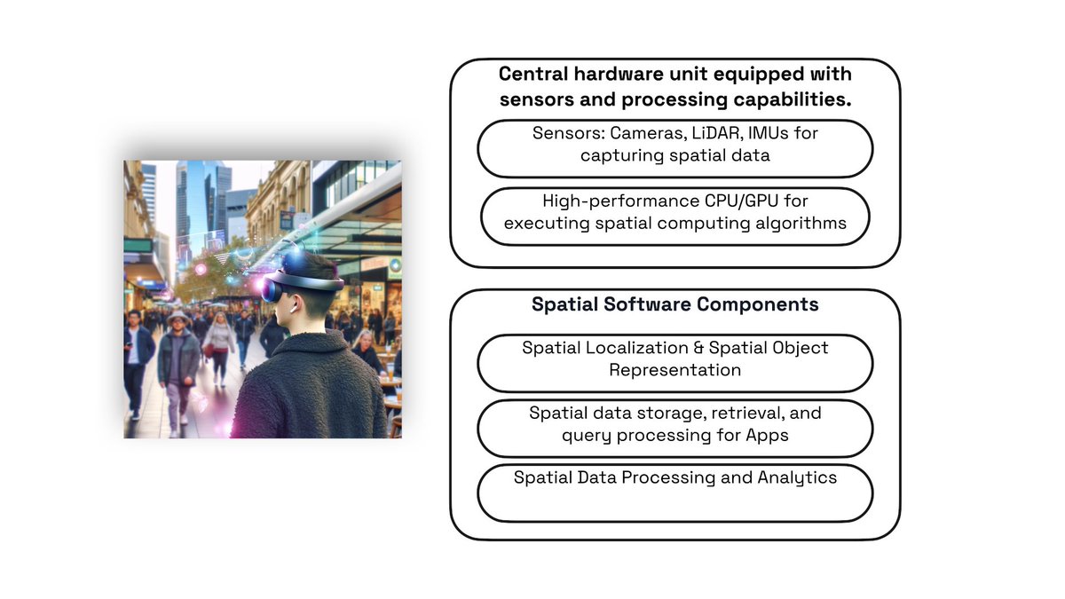
I have just published a blog on how the relationship between Apple Vision Pro spatial computing vision and exisitng spatial data technology. You can read the full article in the link below, but here is summary:
#spatialcomputing #applevisionpro #spatialanalytics #spatialdata …

Calling all #SpatialData enthusiasts! Join us in #SanFran on Jan 30 for our 1st-ever GeoParquet Community Day! Big thanks to Wherobots for being a convening sponsor.
ℹ️ Learn more, register, become a speaker, or explore sponsorship opportunities here: cloudnativegeo.org/blog/2023/12/j…

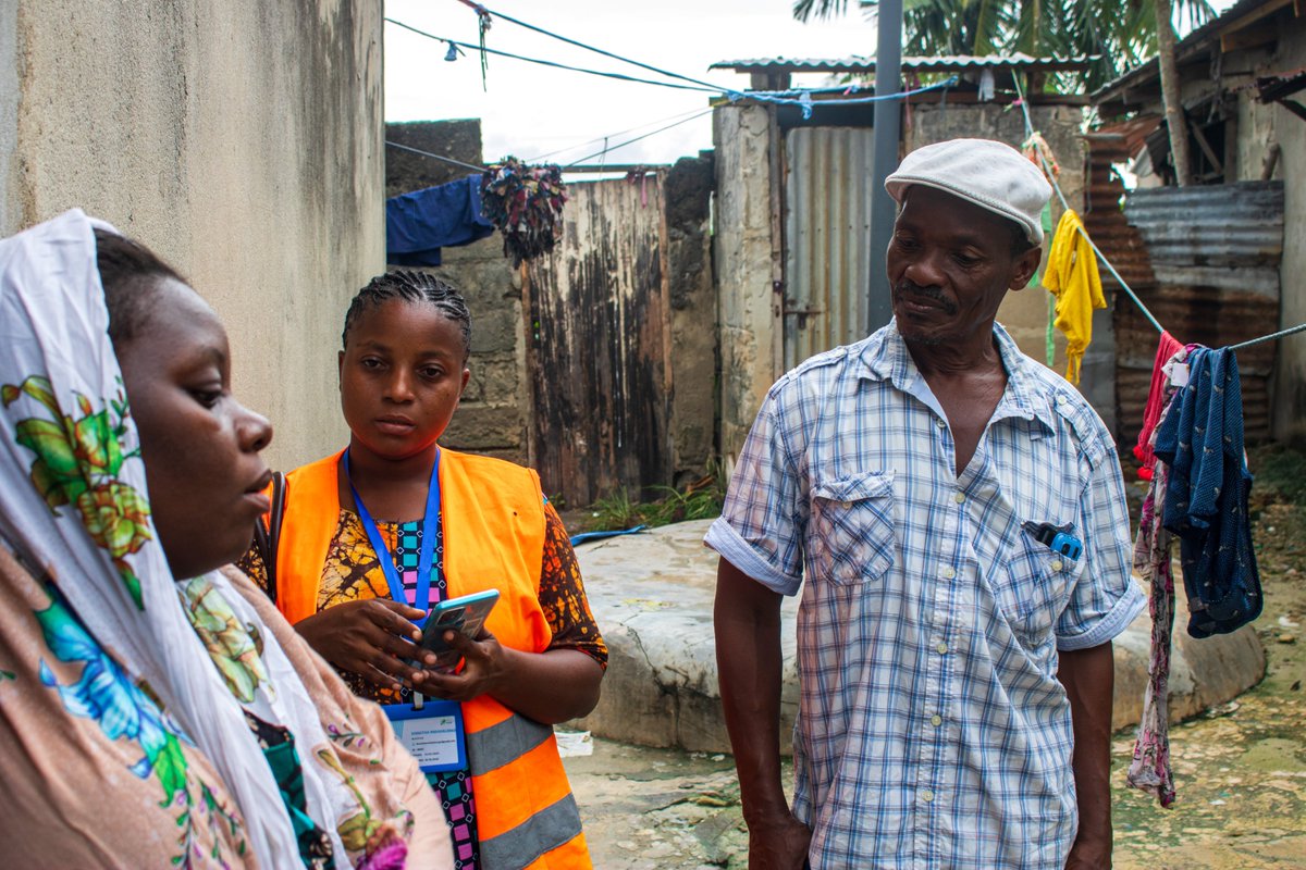
Big up to Wajumbe👏🥳 for aiding mappers on the ground with their invaluable local knowledge & resident trust. They play a crucial role in gathering accurate #spatialdata for the baseline survey & pinpointing initial information, i.e., WCP's locations, dumping sites & waste piles
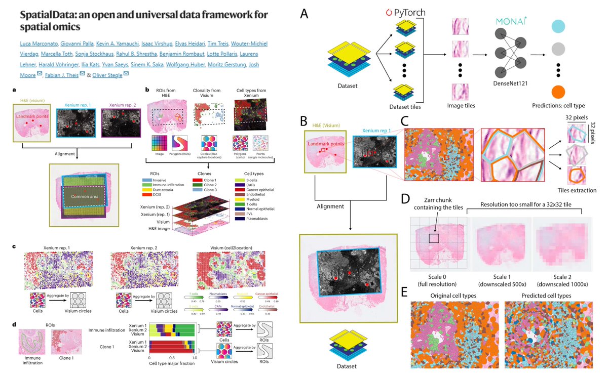
SpatialData
spatialdata.scverse.org/en/latest/
Establish a global common coordinate framework->
Multi-modal #SpatialOmics integration
Align multislice for 3D #SpatialOmics
napari-spatialdata
Work with
(RNA) Visium Xenium CosMx MEFISH
(protein) CycIF MIBI-TOF #ImagingMassCytometry
+HE…

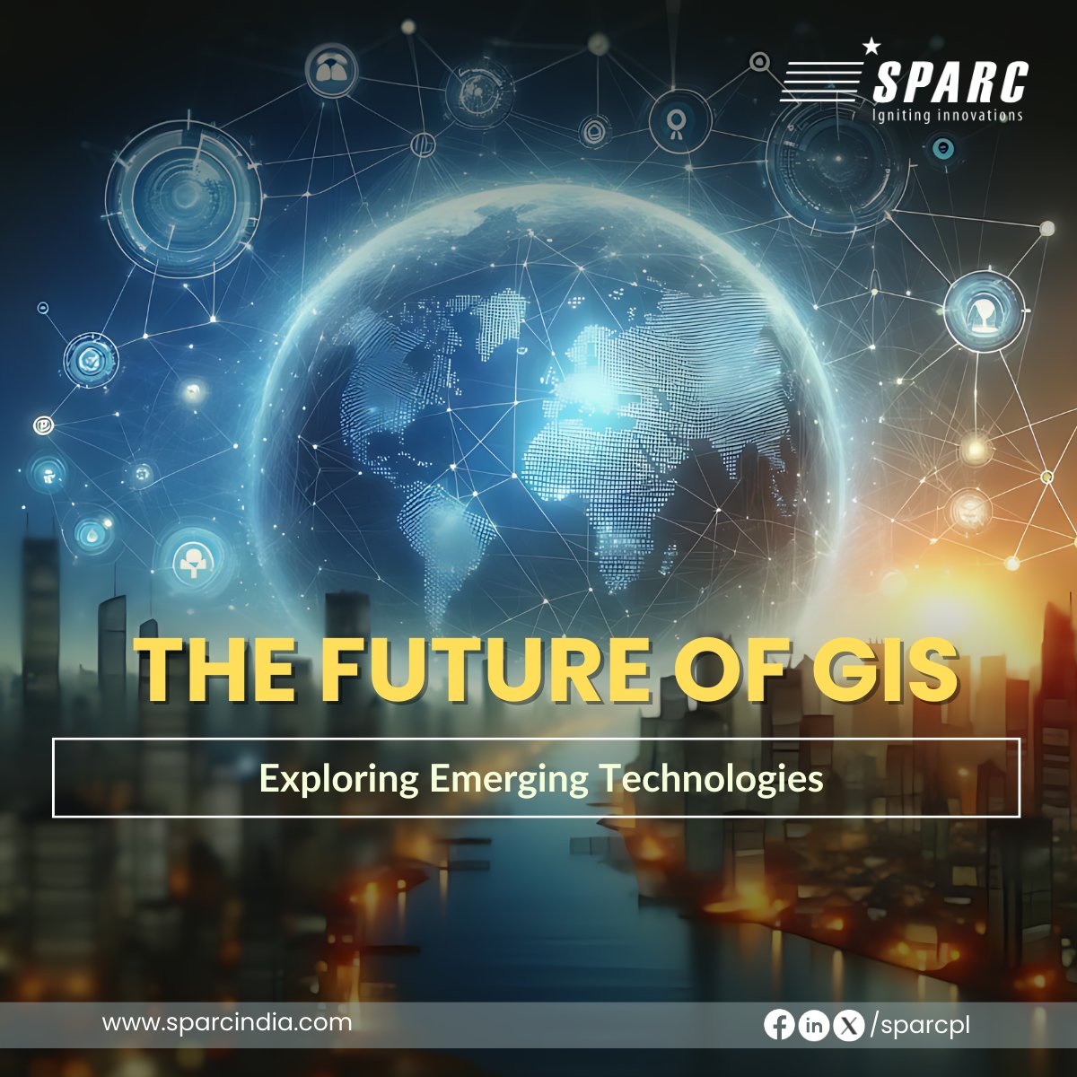
Discover the Future of GIS and explore how emerging technologies are reshaping spatial data analysis and driving informed decision-making. Read more here: sparcindia.com/blog-post/the-…
#SPARCIndia #SpatialAnalysis #EmergingTechnologies #DataAnalytics #SpatialData #RealTimeGIS

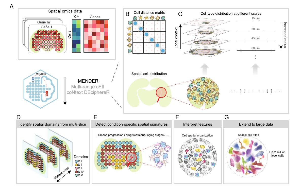
We love learning about new #ComputationalTools for analyzing #SpatialData ! MENDER is a novel tissue structure identification tool utilizing cellular neighborhood structures observed across spatial technologies now published in Nature Communications.
Learn more:
hubs.ly/Q02fCYP20

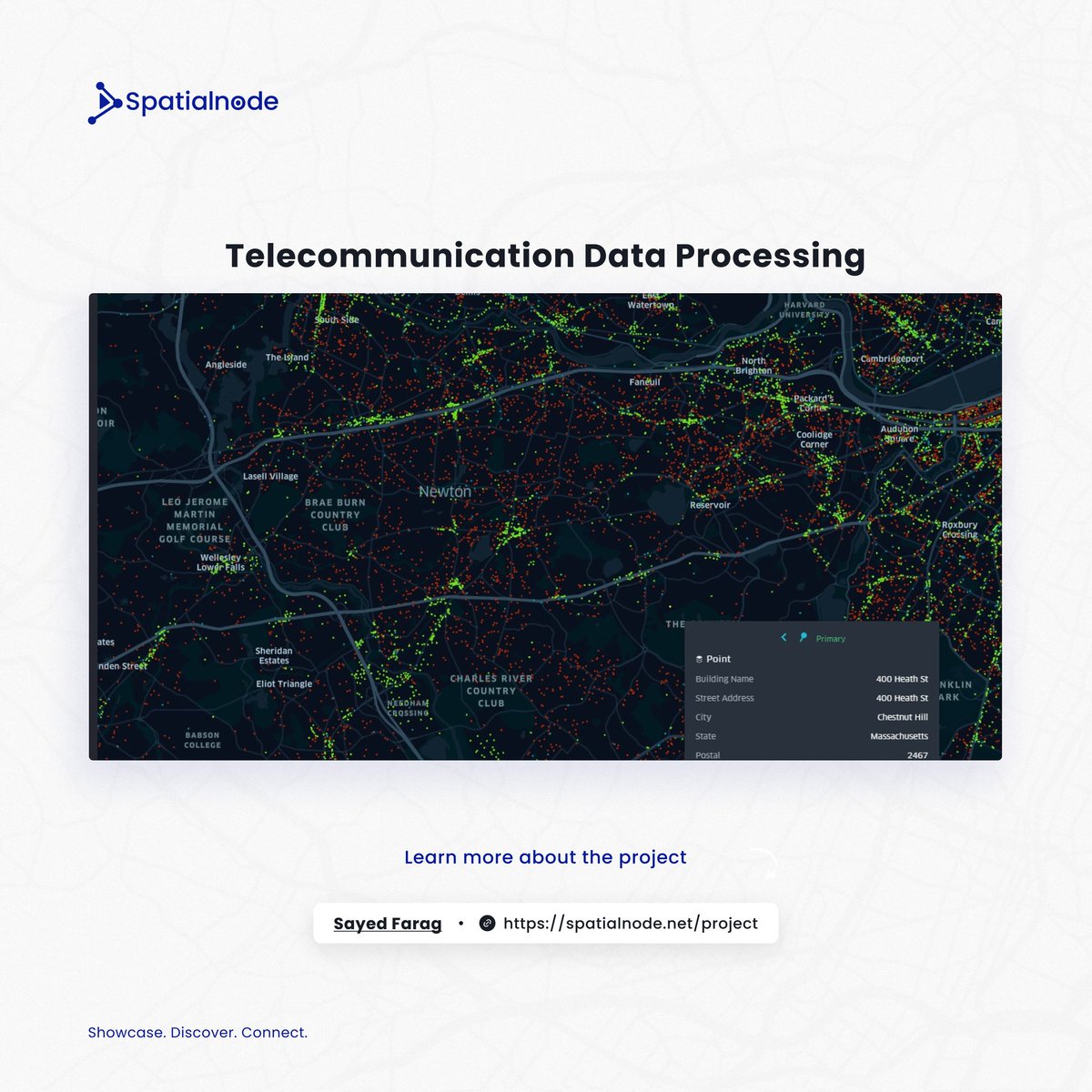
Project O'clock!
Check out this interesting project on Spatialnode, which delves into spatial data processing.
Explore here: spatialnode.net/projects/telec…
#geospatial #dataprocessing #spatialdata
