
'Never quit'.
#dbp #dbp project
#autocad #autodesk #autocad drawing #gis #gis mapping #QGIS #surveying #topography #mapping #DRAWING #arcgis #microstation
#Maptitude #Carlson #Revit #geographicinformationsystems #geometry #geoengineering #raster #vector #GEOreference #utm #pixel

خريجين ال GIS عندهم ميزة مش موجودة عند التخصصات التاني.
#GIS #gisgraduates #SpatialAnalysis #GeographicInformationSystems #نظم_المعلومات_الجغرافية #خريجي_الGIS


ناس كتير بتخلط بين ال GIS وال GeoMarketing أو بيعتبروهم نفس الشيء. إحنا ممكن نعتبرهم نفس الشيء في سياق معين، لكن كمتخصصين لازم نكون عارفين الفرق.
#abdalhamid #gis #geographicinformationsystems #geomarketing

فيه تلات أنواع من الشركات اللي بتشتغل في مجال ال GIS او مجالات متعلقة بيه، والتلات انواع دول متاحين لخريج GIS يشتغل فيهم بس لازم الأول يعرف الفرق بينهم للسبب ده
#AbdAlhamid #GIS #geographicinformationsystems #GIS Companies #CareerInGIS #GIS Industry #GIS Jobs

Here is the Geospatial Analysis Periodic table for your review
gisgeography.com/spatial-analys…
#geospatial #geospatial technology #geospatial intelligence # #technology #geomatics #geographicinformationsystems #spatialanalysis

ليه أكبر تحدي بيواجهه خريج ال GIS هو إنه يلاقي شغل أو يبدأ كارير؟ انتظروا الدليل الكامل اللي بشتغل عليه حالياً عشان بشرحلك المسارات الوظيفية لخريج ال GIS وازاي تختار منها الي يبناسبك.
#Abdalhamid #GIS #geographicinformationsystems

Sındırgı Cbs Çalıştayı 2. Gününde Cbs mesleki kariyer çalışmalarını konuşuyoruz . #balıkesir #cbs #gis #smartcities #geographicinformationsystems #parametre


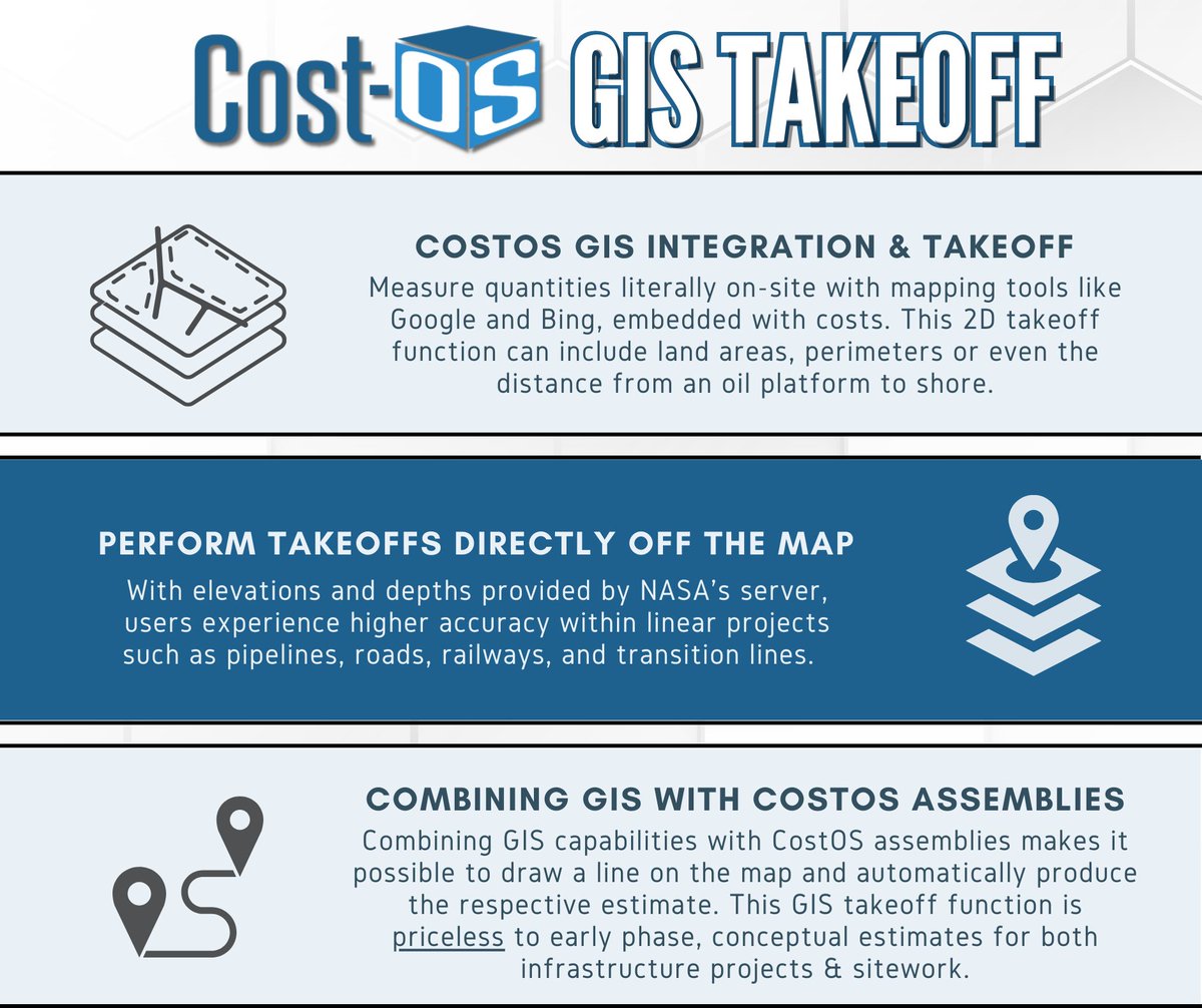
CostOS Geographic Information Systems (GIS) Integration & Takeoff allows users to measure cost-embedded quantities literally on-site with mapping tools like Google or Bing.
#GIS #GIS day #geographicinformationsystems #estimating #oilandgas #construction #pipeline

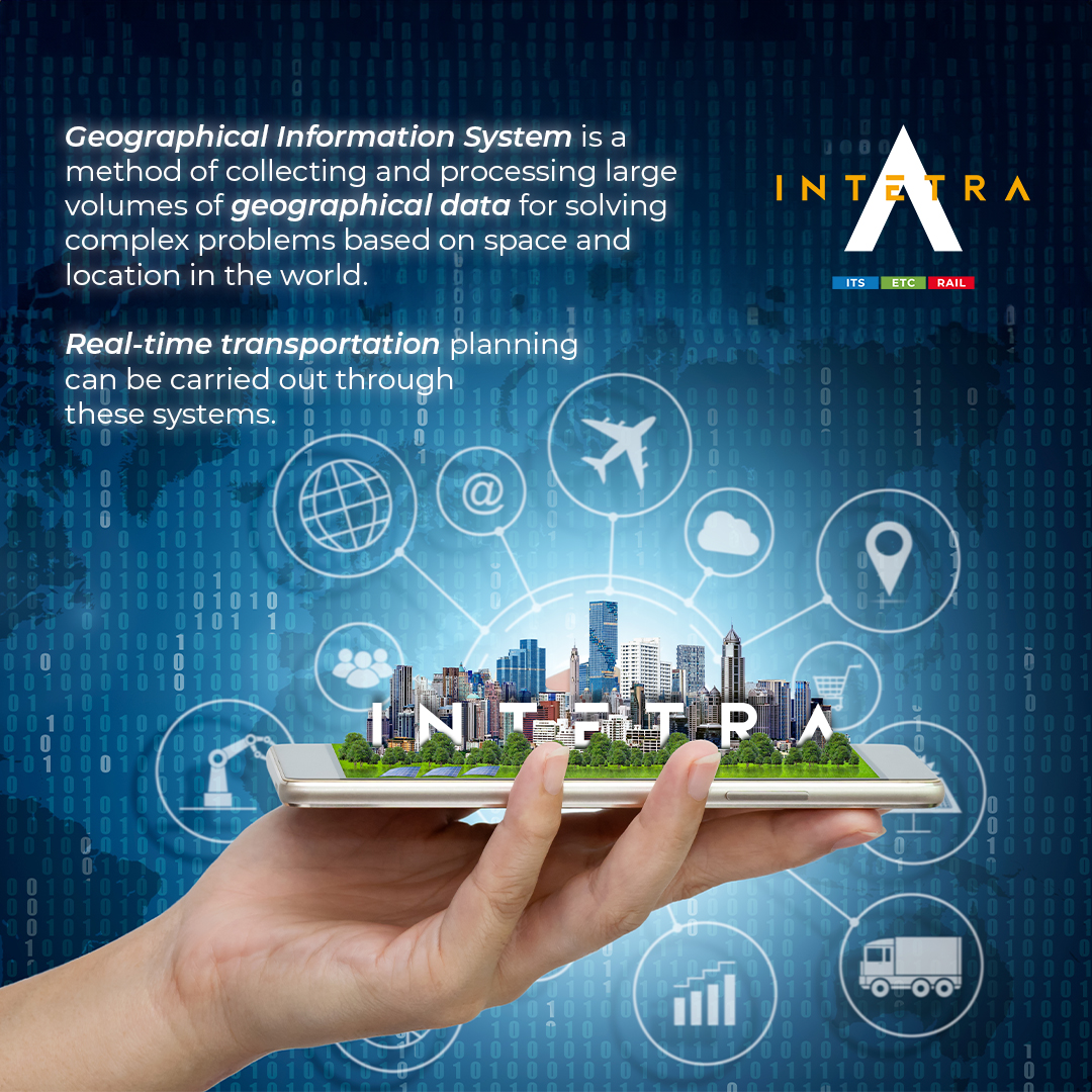
#GeographicInformationSystems – #GIS are complex computer systems to capture, collect, store, check, process, analyze, and manage geographical data: abtosoftware.com/blog/how-gis-c… #AI #cartography #bigdata #dataanalysis #Digitalmapping #GeospatialAI #geospatialdata #GIS software

Coğrafi Bilgi Sistemleri, coğrafi veya mekansal verileri yakalamak, depolamak, analiz etmek ve görüntülemek için kullanılan güçlü bilgisayar tabanlı teknolojierdir.
#gis #geographicinformationsystems #spatialdata #satelliteimages #aerialphotographs #maps

Establishment of ISESCO Chair in Machine Learning for Remote Sensing Signed Under Agreement
#Academiccollaboration #AI #artificialintelligence #Digitaltransformation #Geographicinformationsystems #ISESCO #ISESCO chair #Knowledgeexchange #machinelearnin
multiplatform.ai/establishment-…
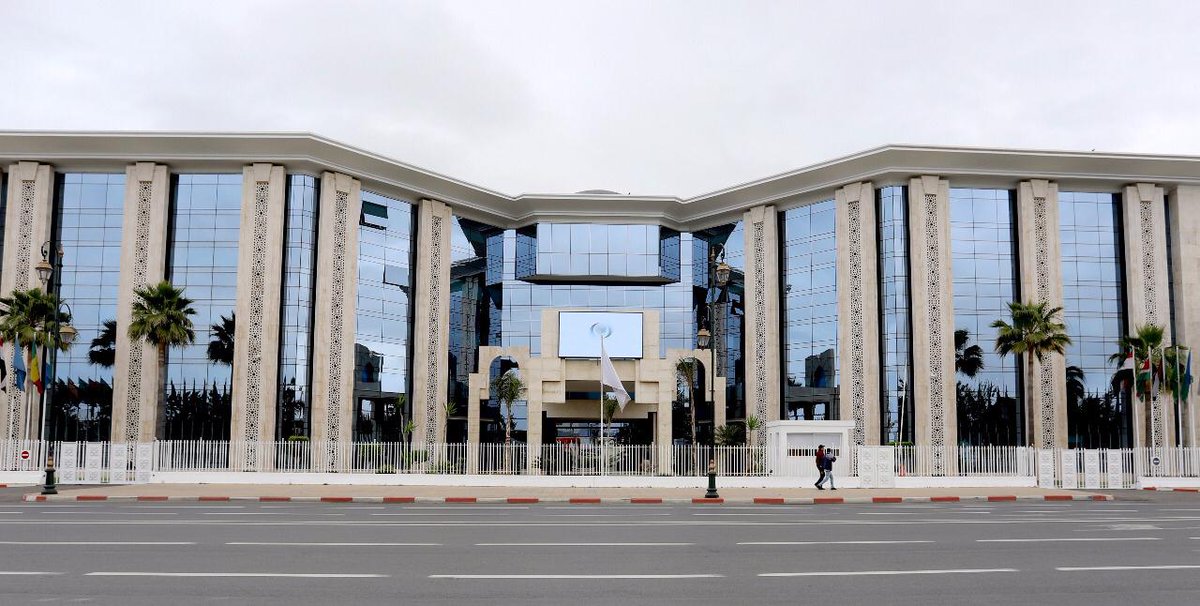

Christian Martin is studying #GeographicInformationSystems and Unmanned Aircraft Systems ( #UAS ) to develop the skills he needs to use drones for a wide variety of mapping purposes.
Check out this video on how he is using drones for the future of mapping!
#CNM #communitycollege


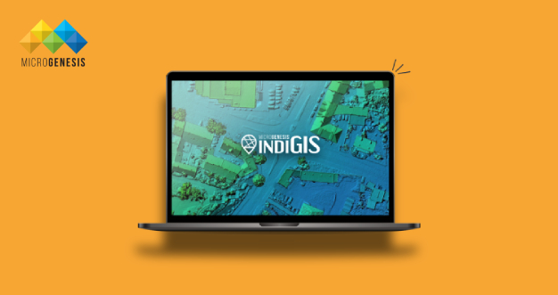
Leverage the power of IndiGIS with a comprehensive suite of GIS tools and unlock the power of #GISSystems with #MicroGenesisIndiGIS technology. For more information, visit mgtechsoft.com/product/indigi…
#GISServices #GISTechnology #GeographicInformationSystems

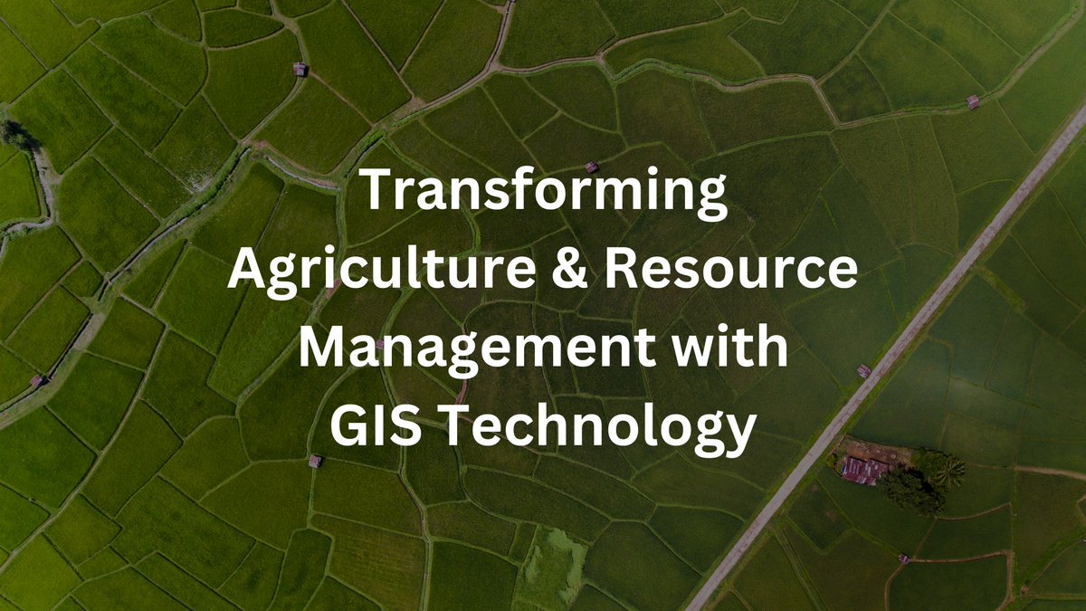
Embrace the power of #GeographicInformationSystems in agriculture & natural resource management! From precision agriculture to disaster risk management, #GIS technology offers invaluable insights for sustainable land management... mgtechsoft.com/blog/role-of-g…
#MicroGenesis

From GIS Lounge: What is a Polynya?
bit.ly/3JKyfYH
#GeographicInformationSystems #LocationIntelligence #GeospatialData #Mapping #GISAnalysis #SpatialData #GISMap ping #GeospatialTechnology #GISConsulting #GISSoftware #GISServices #GISApplications #GISData #GISMap ...

From GIS Lounge: What is an Ice Arch?
bit.ly/4a4YLXl
#GeographicInformationSystems #LocationIntelligence #GeospatialData #Mapping #GISAnalysis #SpatialData #GISM apping #GeospatialTechnology #GISConsulting #GISSoftware #GISServices #GISApplications #GISData #GISM ...


